Post

Python Maps
Python Maps@PythonMaps·
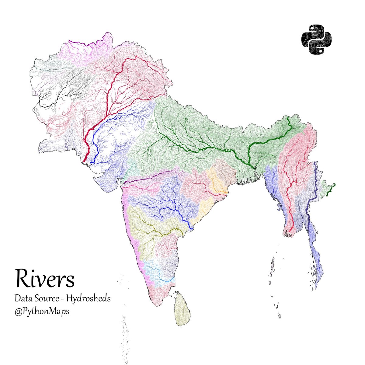
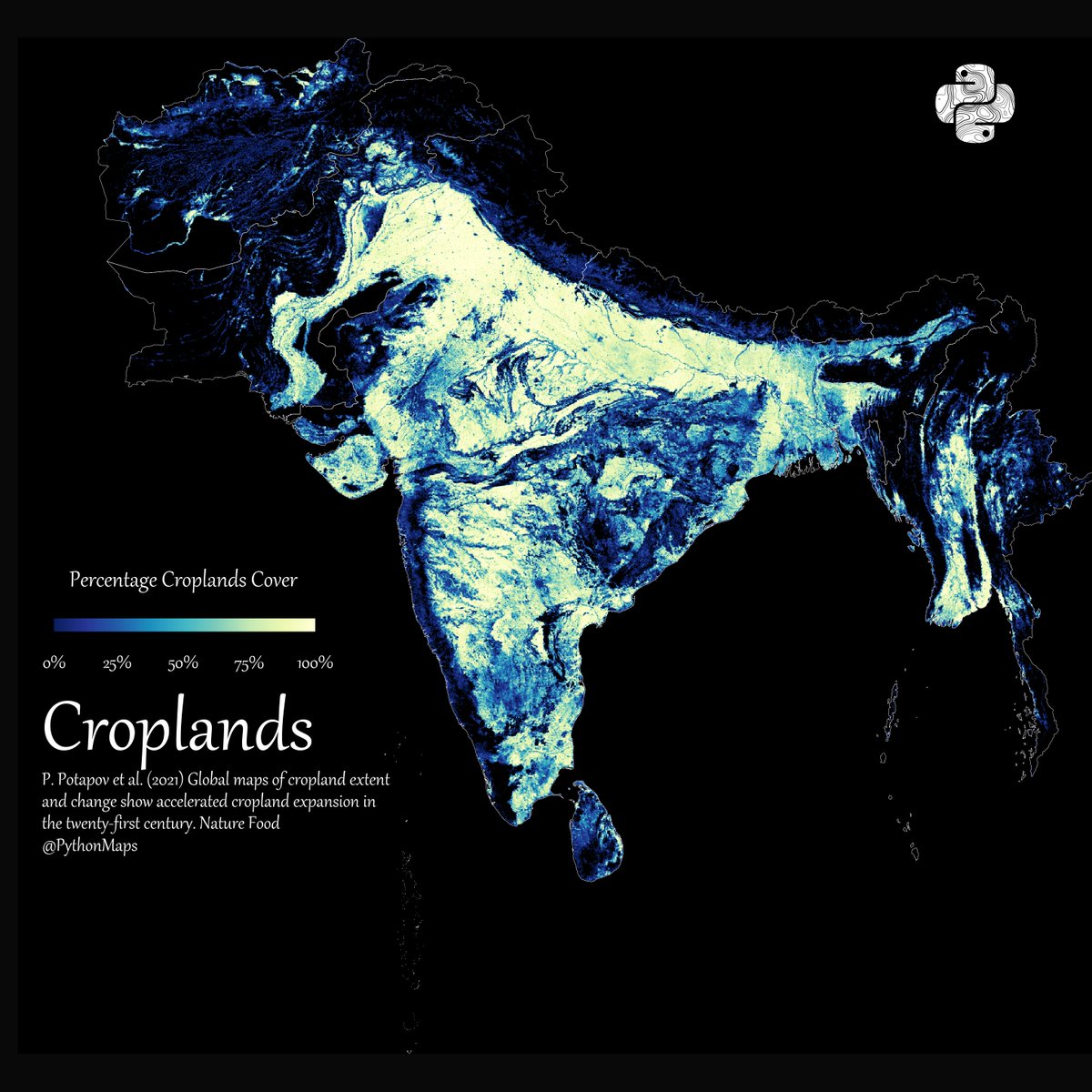
Another thread of maps I like. This time we are looking loosely at the Indian sub continent. Included are India, Pakistan, Afghanistan, Nepal, Bhutan, Bangladesh, Sri Lanka and Myanmar. First up, Rivers! 1/13
Python Maps tweet media
English
145
1.3K
10.8K
1.6M
Python Maps
Python Maps@PythonMaps·
Forests - using everyones favourite colourmap. 😉3/13
Python Maps tweet media
English
21
26
868
156.2K
Python Maps
Python Maps@PythonMaps·
Grasslands. Data comes from Global Land Cover-SHARE (GLC-SHARE) database. 4/13
Python Maps tweet media
English
4
20
506
69.6K
Python Maps
Python Maps@PythonMaps·
Croplands 5/13
Python Maps tweet media
English
2
15
533
62.8K
Python Maps
Python Maps@PythonMaps·
Cattle density 6/13
Python Maps tweet media
English
1
15
493
61.4K
Python Maps
Python Maps@PythonMaps·
Pig density. 7/13
Python Maps tweet media
English
4
16
434
79.2K
Python Maps
Python Maps@PythonMaps·
Shipping lanes 8/13
Python Maps tweet media
English
4
18
610
60.2K
Python Maps
Python Maps@PythonMaps·
Roads 9/n
Python Maps tweet media
English
3
20
578
61.3K
Python Maps
Python Maps@PythonMaps·
Topography as contour lines. 9/13
Python Maps tweet media
Français
2
15
476
53.3K
wrathofkhan
wrathofkhan@deepthaid·
@PythonMaps For Pakistan, only major highways and motorways are shown. Road density map is incorrect.
English
1
0
1
231
Поделиться