UVU Earth Science

86 posts

UVU Earth Science banner
UVU Earth Science

UVU Earth Science

@UVUEarthScience

Official Twitter account of the Dept. of Earth Science at Utah Valley University. We do geology, geography, & environmental science!
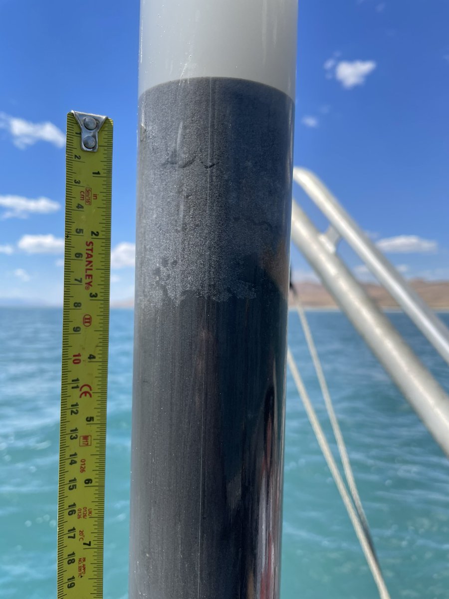
Orem, Utah انضم Ekim 2019
26 يتبع50 المتابعون
UVU Earth Science
UVU Earth Science@UVUEarthScience·
Earth Science Seminar 3/29: Dr. Steve Davis of the Stanford Center for Carbon Storage will present "Mitigating Climate Change with Carbon Capture and Geological Sequestration." Great opportunity to learn about the subject from an expert.
UVU Earth Science tweet media
English
0
0
0
0
UVU Earth Science أُعيد تغريده
Danny Brothers
Danny Brothers@DBrothersSC·
Coring the the Great Salt Lake is underway... Day 1 was a success. We hope to constrain the age of movement on faults and explore shaking proxies, ie sediment remibilzation adjacent to the scarp, using the 2020 Magna earthquake as a calibration.
Danny Brothers tweet mediaDanny Brothers tweet media
English
2
5
63
0
UVU Earth Science أُعيد تغريده
Chris DuRoss
Chris DuRoss@chrisduross·
What lies beneath the Great Salt Lake? Great to finally have Chirp data rolling in on this lake paleoseismology project with @DBrothersSC and @neotectonics. Profile shows debris flow/landslide near Antelope Island buried by lake sediments.
Chris DuRoss tweet mediaChris DuRoss tweet mediaChris DuRoss tweet mediaChris DuRoss tweet media
English
1
7
32
0
UVU Earth Science أُعيد تغريده
UVU
UVU@UVU·
We encourage you to follow your passions and stay true to your colors and pride. Find a program, a club, or something else that is true to you. There's a place for you at UVU.
UVU tweet mediaUVU tweet media
English
2
6
31
0
UVU Earth Science أُعيد تغريده
Manoochehr Shirzaei
Manoochehr Shirzaei@shirzaei·
#ChamplainTowersSouth tilt time series shows a peculiar pattern. South vs north was tilting at a rate of 17.8 microrad/yr and there was a turning point in 2018, any guesses on what could cause the tilt and turning point? @virginia_tech @Sentinel1a
Manoochehr Shirzaei tweet media
English
4
5
18
0
UVU Earth Science أُعيد تغريده
Chris DuRoss
Chris DuRoss@chrisduross·
Good haul on day 1 of coring GSL seds! Last photo is “brine shrimp fecal pellet mud” buried by sand sourced from a lake bottom fault scarp.
Chris DuRoss tweet mediaChris DuRoss tweet mediaChris DuRoss tweet media
English
1
5
15
0
UVU Earth Science أُعيد تغريده
Hilary Hungerford
Hilary Hungerford@HungerfordHil·
First official day as Faculty Senate President at @UVU . Excited to work for faculty needs and to keep us moving forward.
English
2
1
6
0
UVU Earth Science
UVU Earth Science@UVUEarthScience·
And G.K. Gilbert's studies of this earthquake and its fault scarp undoubtedly influenced his thinking and ground-breaking understanding that fault scarps along the Wasatch front represent past earthquakes and that Salt Lake City faces a major earthquake threat.
English
0
0
2
0
UVU Earth Science
UVU Earth Science@UVUEarthScience·
A major advance in our understanding of the Earth. Life as we know it is dependent on the Earth's liquid inner core and the magnetic field it generates. #WomensHistoryMonth
English
0
0
0
0
UVU Earth Science أُعيد تغريده
UVU
UVU@UVU·
WE ARE #1 FOR EARNINGS RIGHT OUT OF COLLEGE WHEN COMPARED TO OTHER UNIVERSITIES IN THE STATE!!! uvu.edu/news/2021/03/2…
English
1
7
35
0
UVU Earth Science أُعيد تغريده
USGS Store
USGS Store@USGSstore·
It's #FreeMapMonday! Retweet and follow us for a chance to win the map of Canyonlands NP, UT! #USGSStore (U.S. residents only)
USGS Store tweet media
English
21
1.2K
504
0
UVU Earth Science أُعيد تغريده
OpenTopography
OpenTopography@OpenTopography·
Latest update to the @USGSTNM 3D Elevation Program #lidar data collection in OT: 12 datasets, inc coverage of red rock country in S UT (e.g., Grand Staircase-Escalante NM). Here's the confluence of Buckskin Gulch (left - "longest slot canyon in the 🌎") w/ the Paria River Canyon
OpenTopography tweet mediaOpenTopography tweet media
English
1
4
32
0
UVU Earth Science أُعيد تغريده
OpenTopography
OpenTopography@OpenTopography·
Also in this batch of #3DEP data is a large #lidar dataset covering west-central Colorado (area around Gunnison). Below: a portion of the Black Canyon of the Gunnison River gorge in @BlackCanyonNPS (left) and the Crested Butte area, inc @skicrestedbutte.
OpenTopography tweet mediaOpenTopography tweet media
English
0
6
17
0