Shaded Maps

137 posts

Shaded Maps banner
Shaded Maps

Shaded Maps

@ShadedMaps

Digitally manufacturing detailed shaded city maps with Python, PDAL and GDAL tools from LiDAR, DSM and OSM data!

Beigetreten Mayıs 2023
169 Folgt210 Follower
Shaded Maps
Shaded Maps@ShadedMaps·
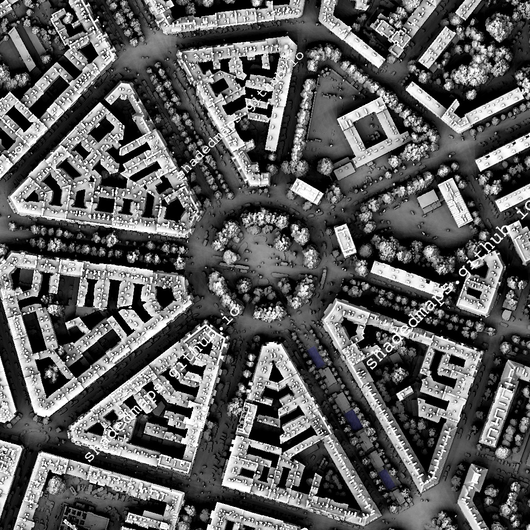
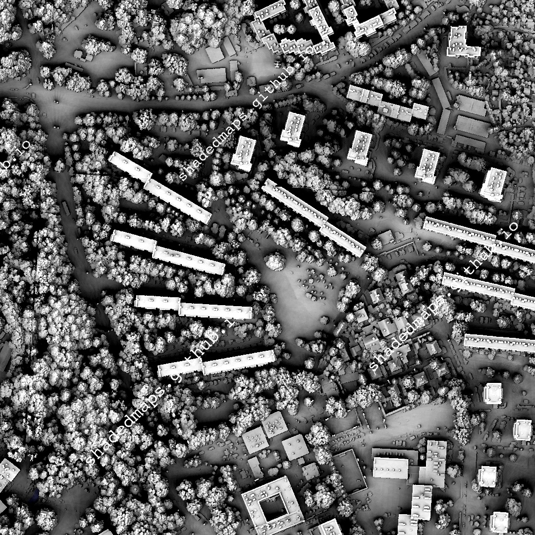
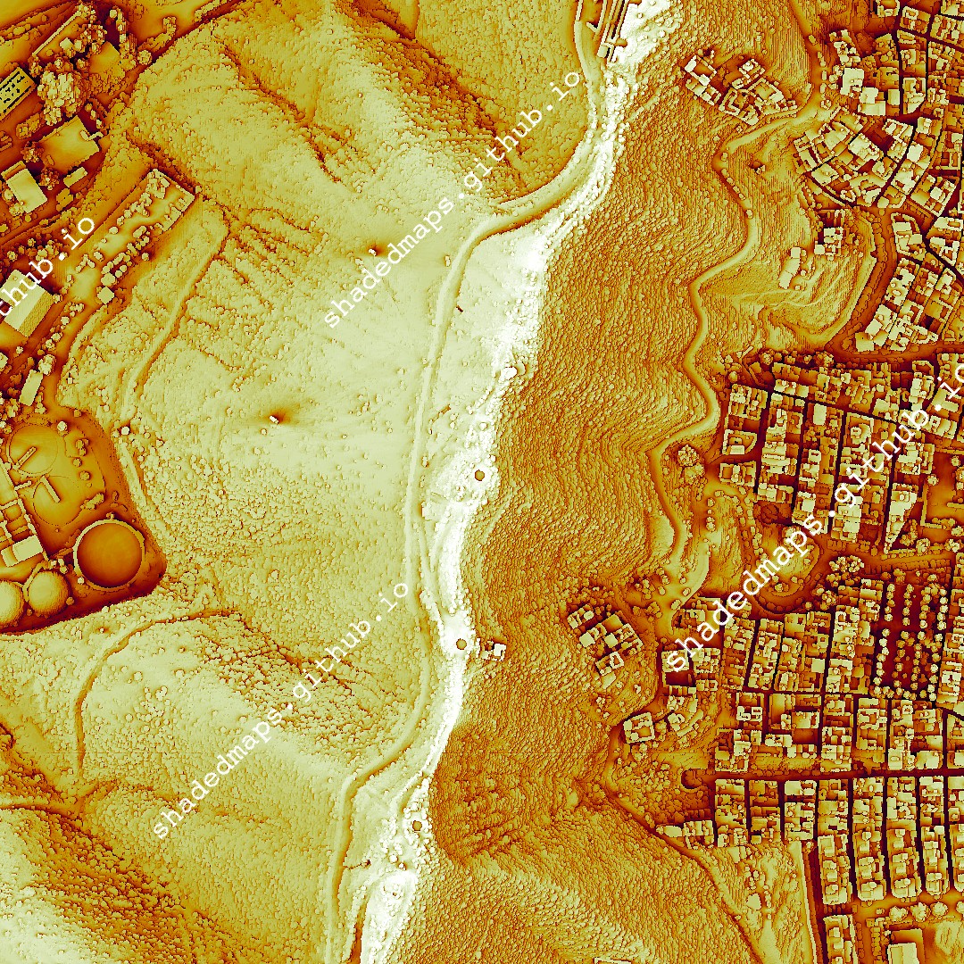
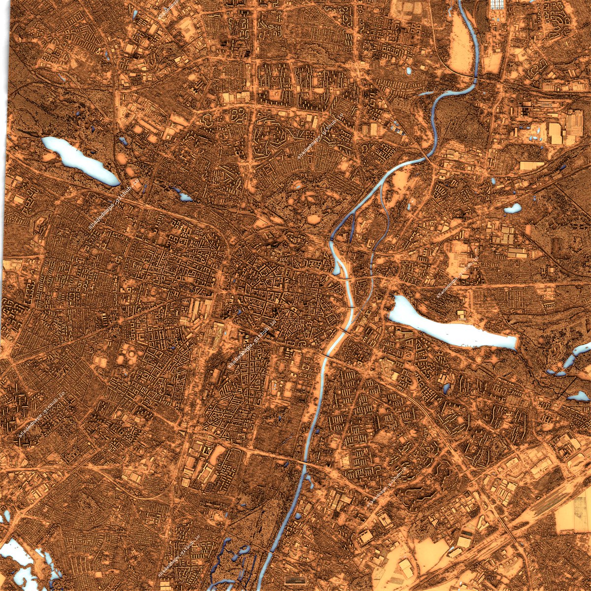
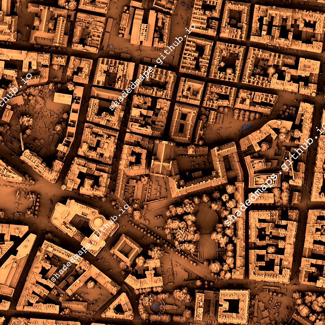
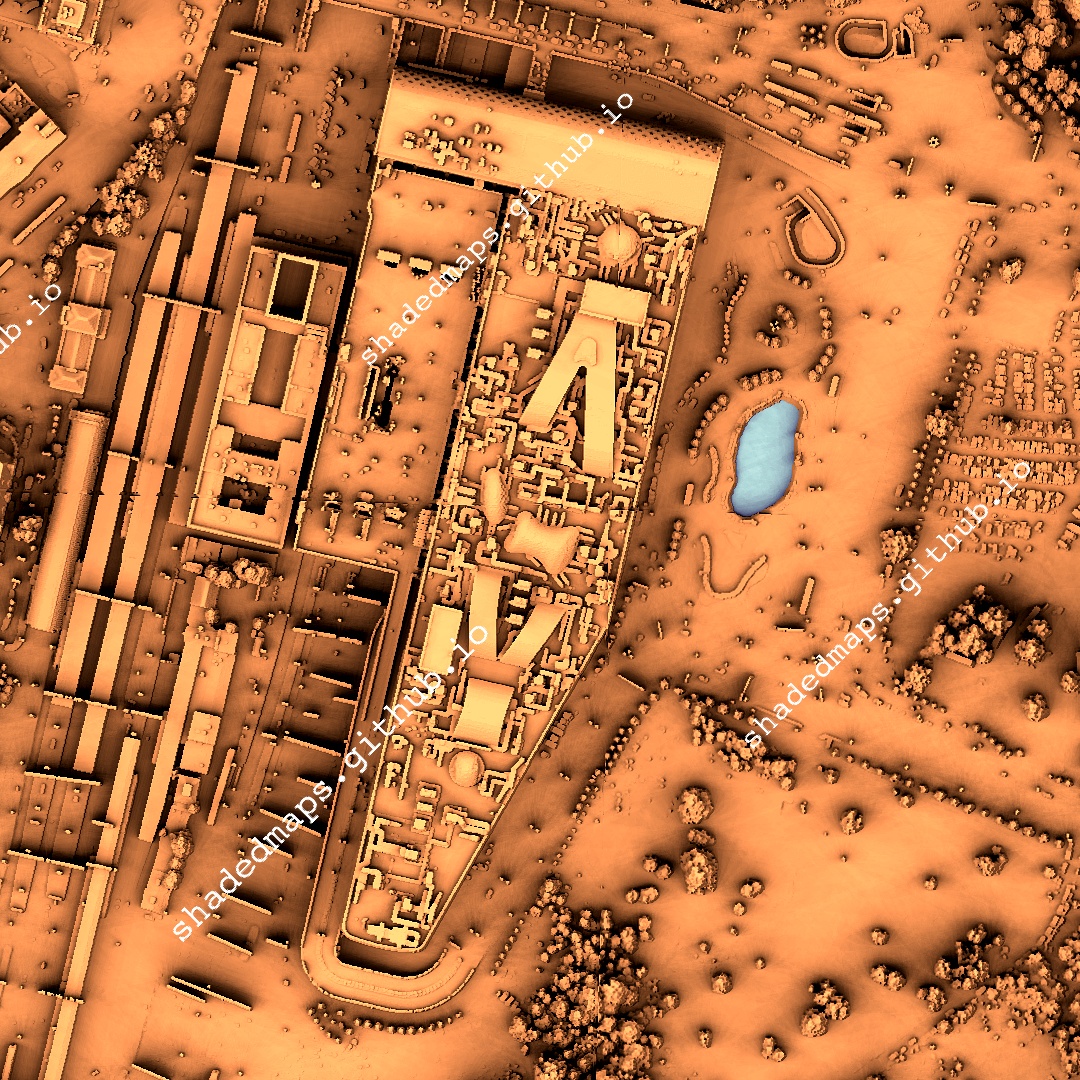
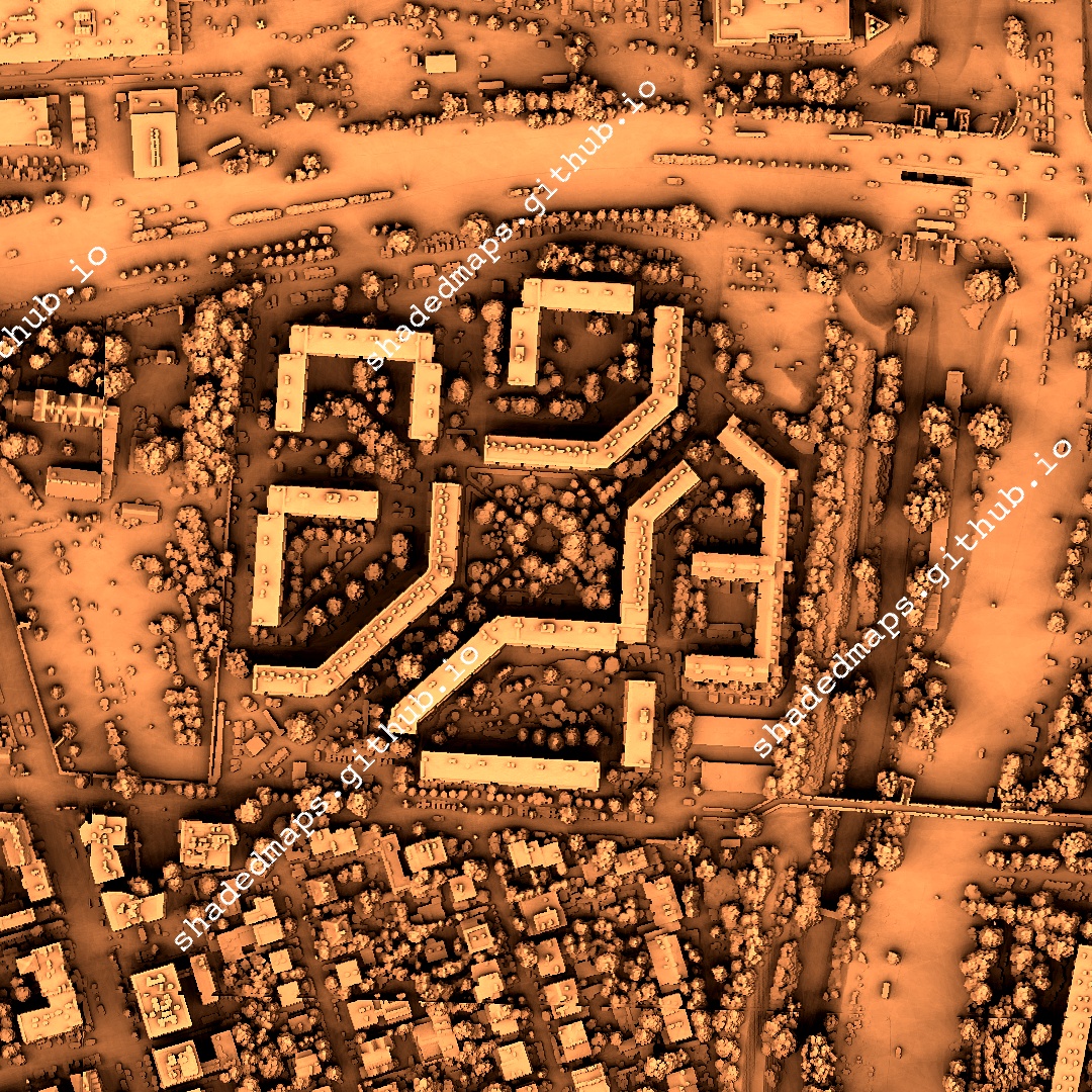
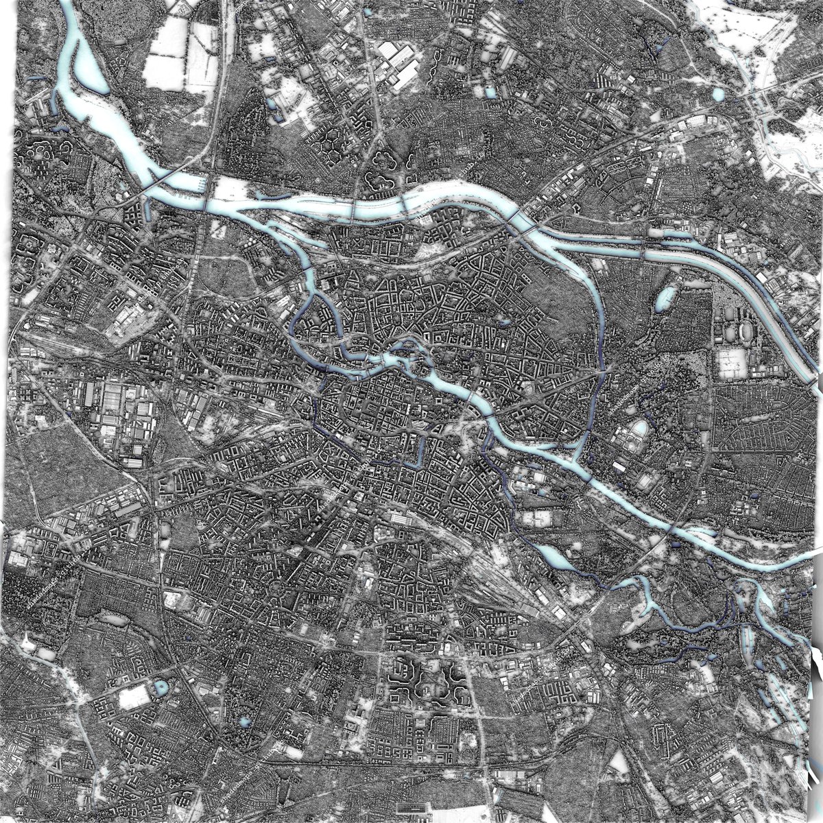
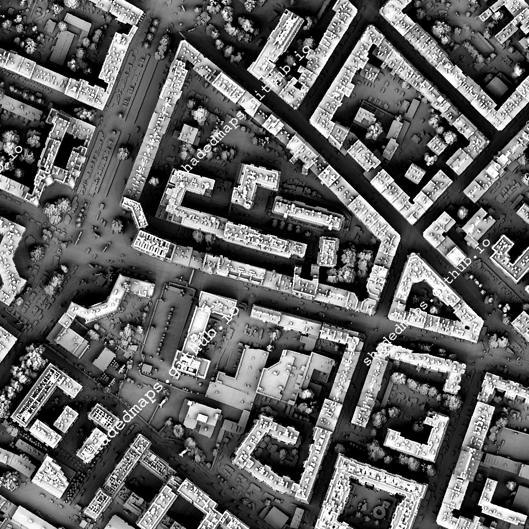
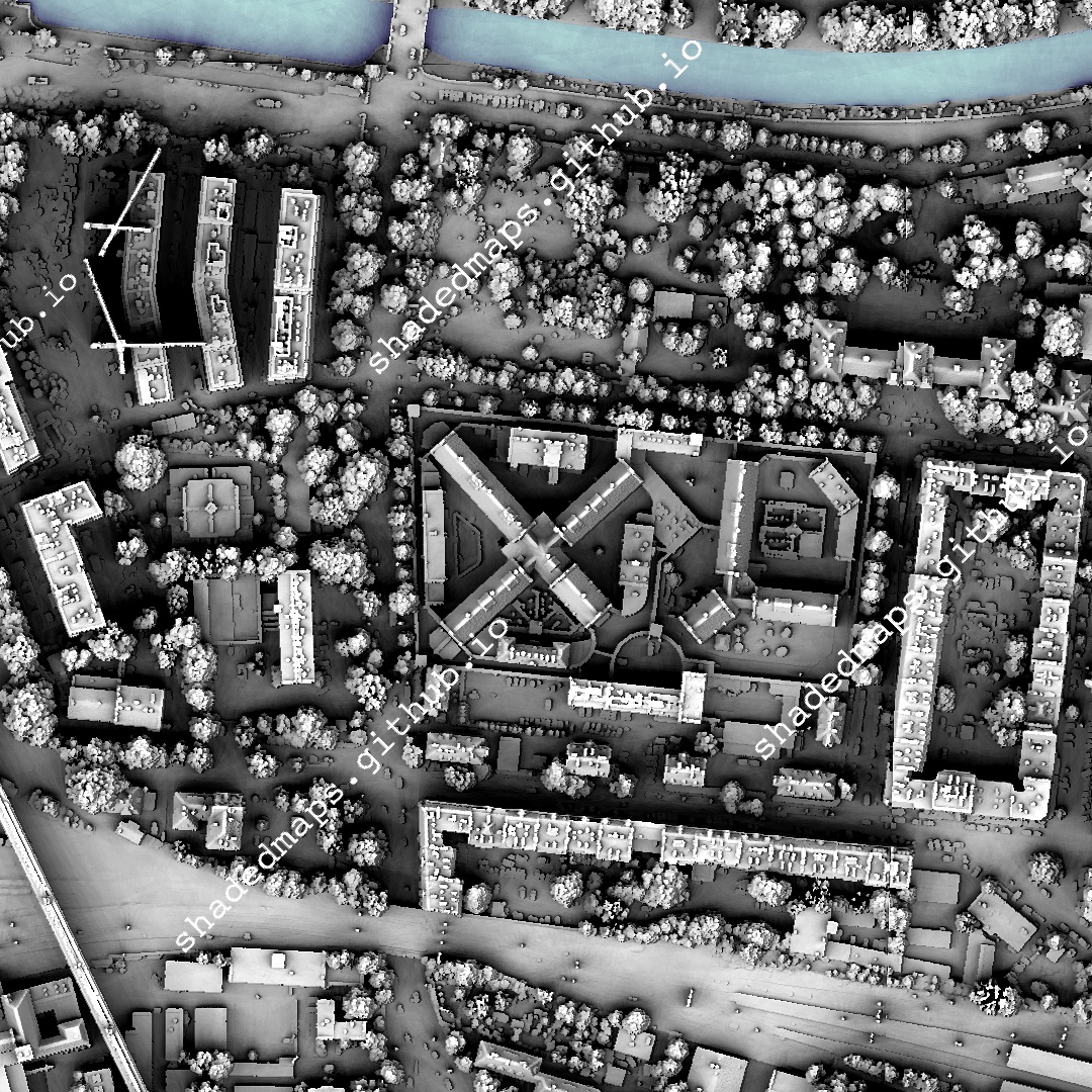
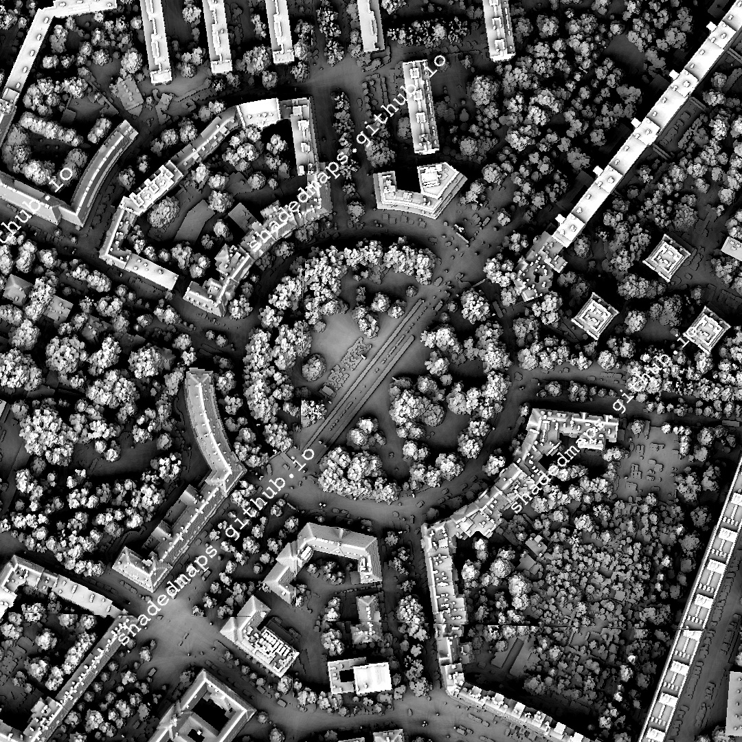
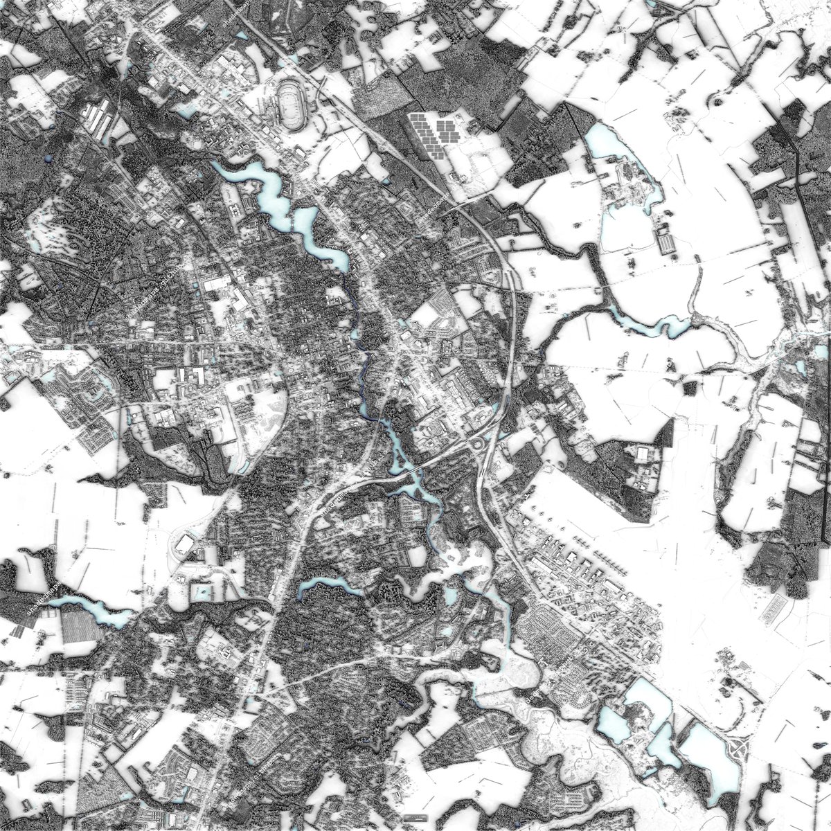
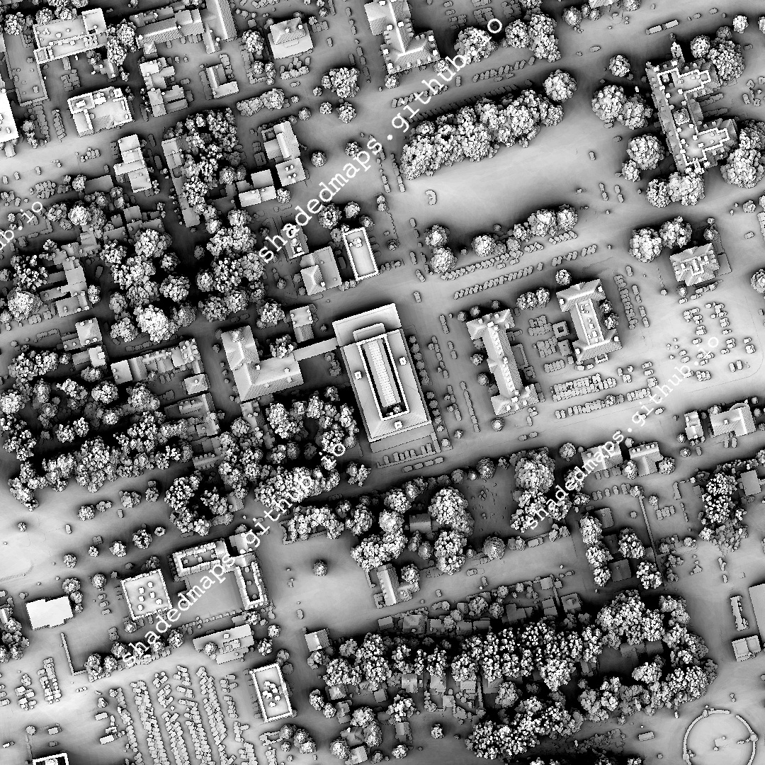
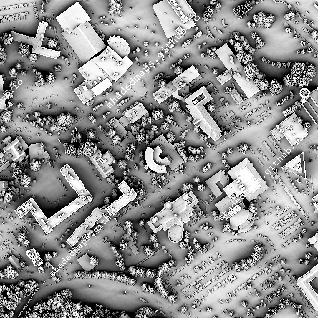
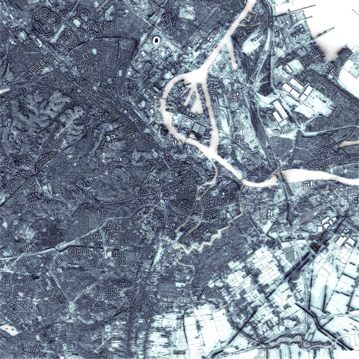
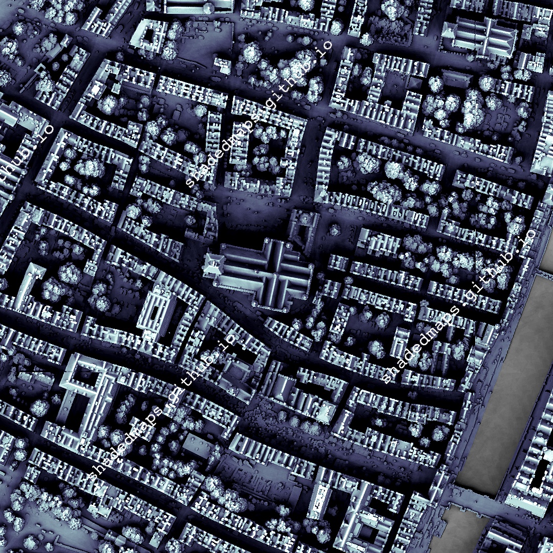
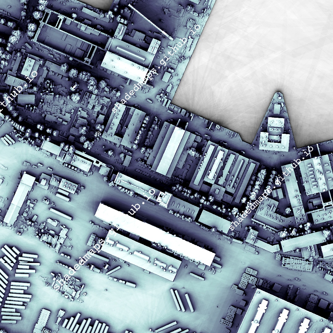
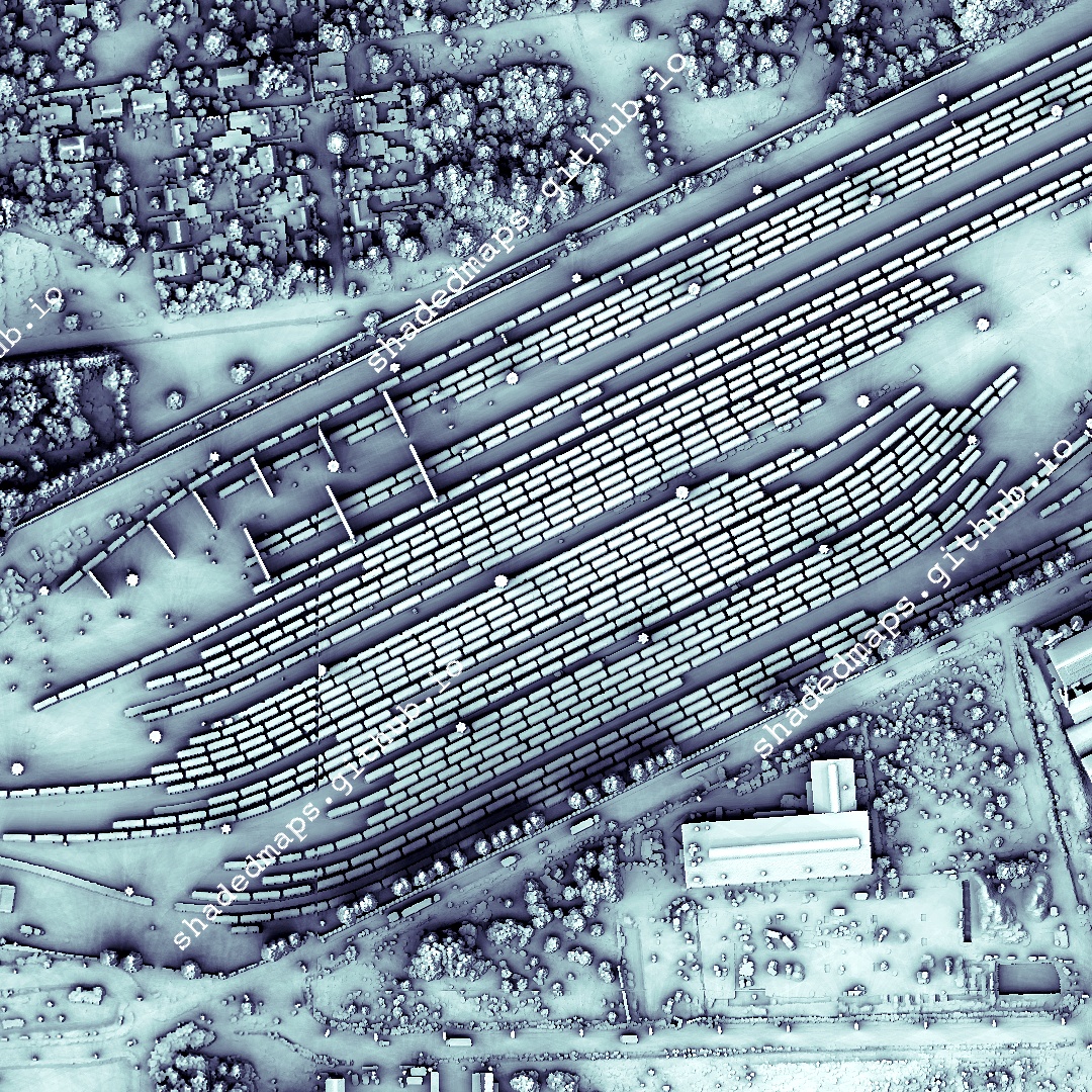
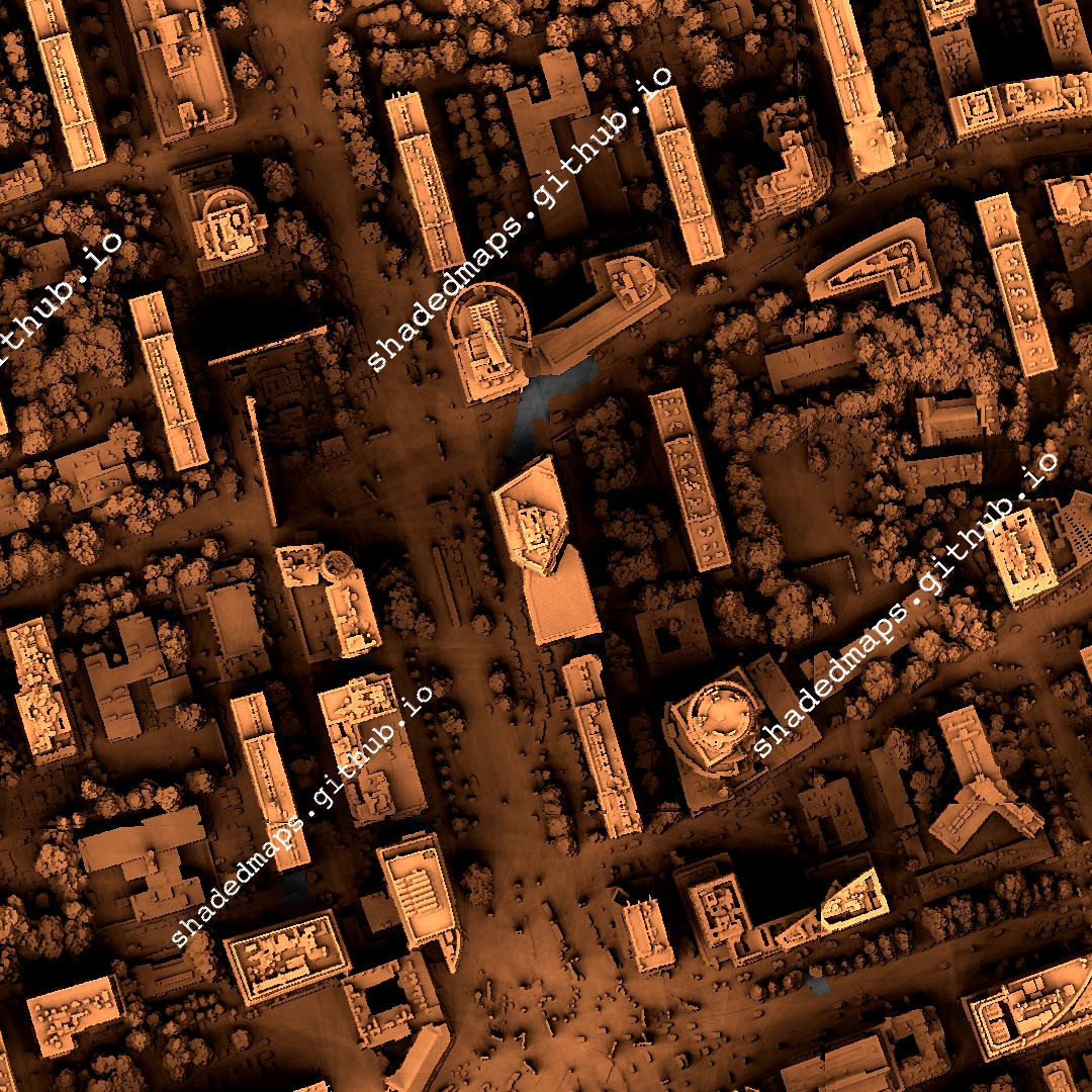
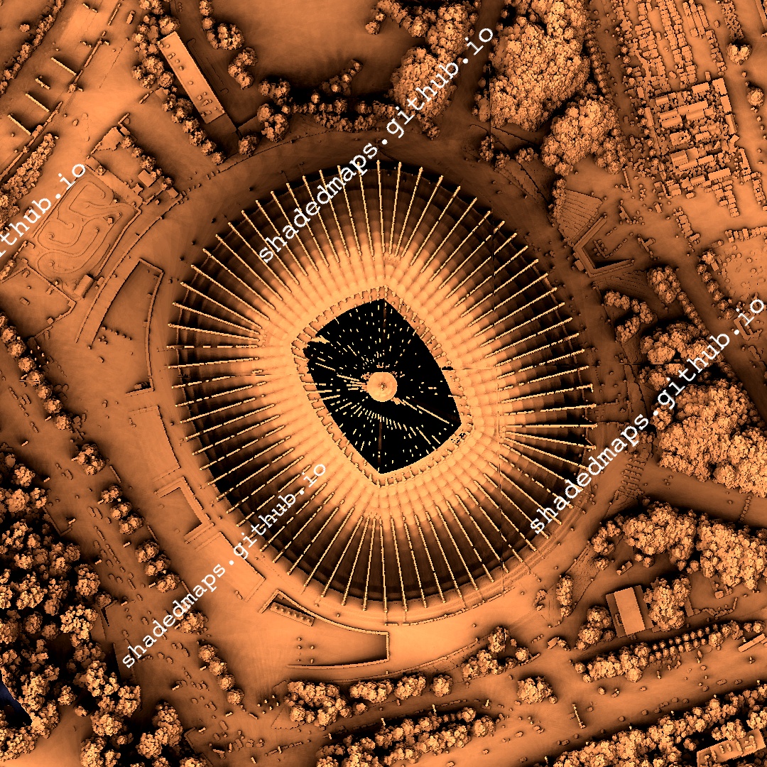
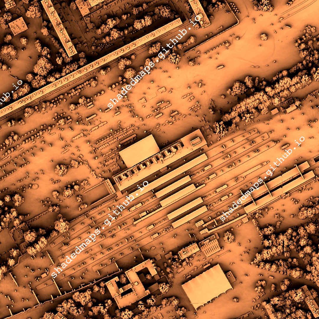
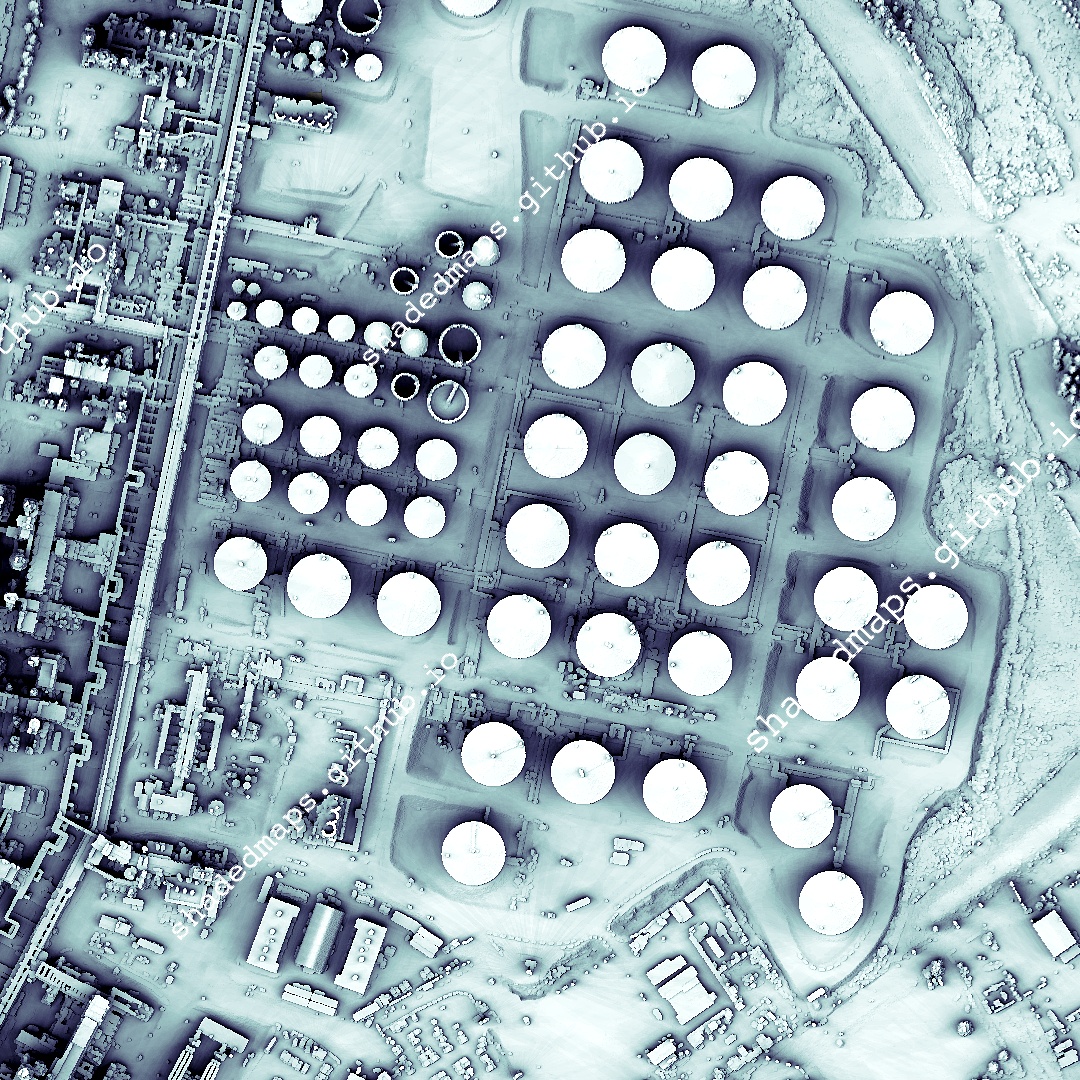
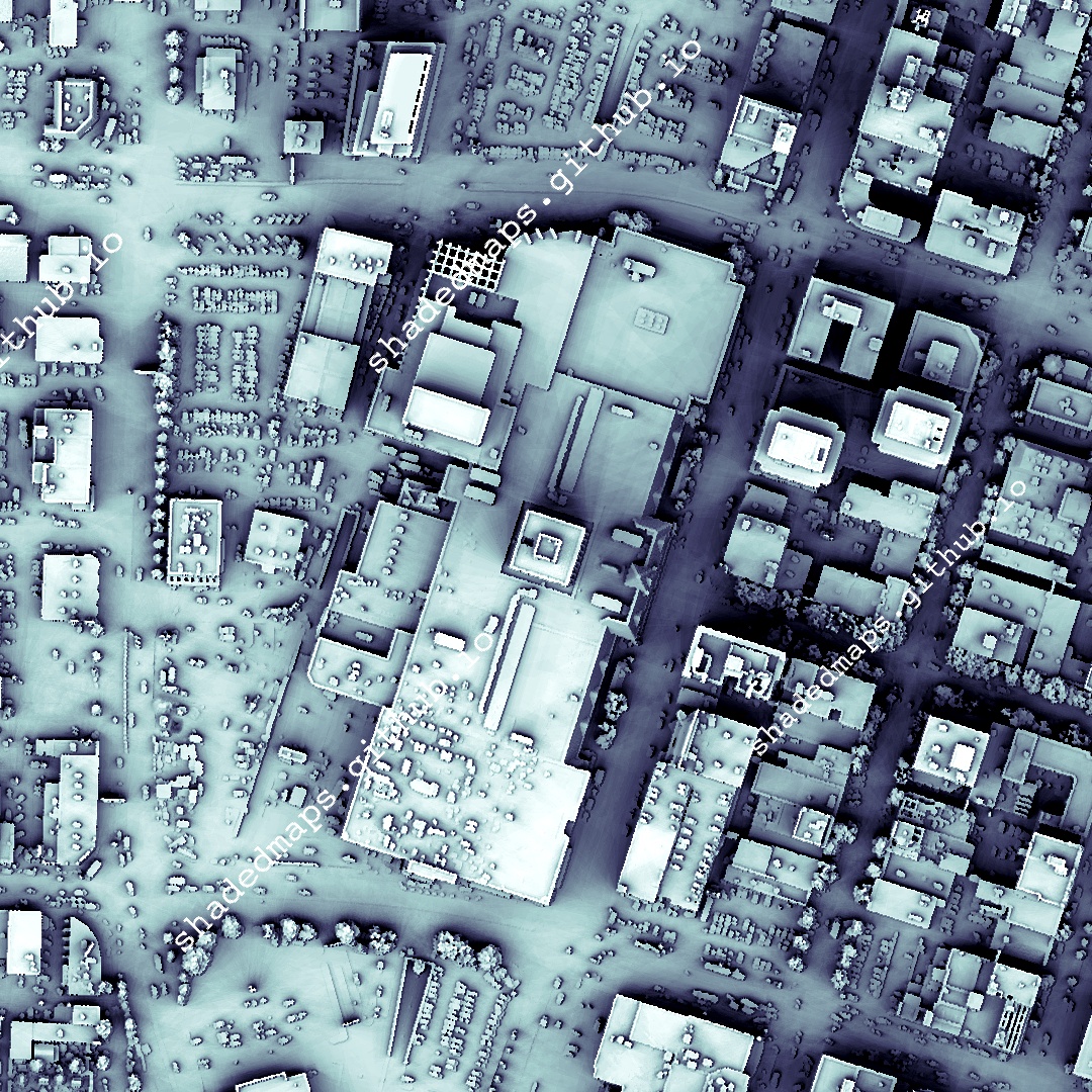
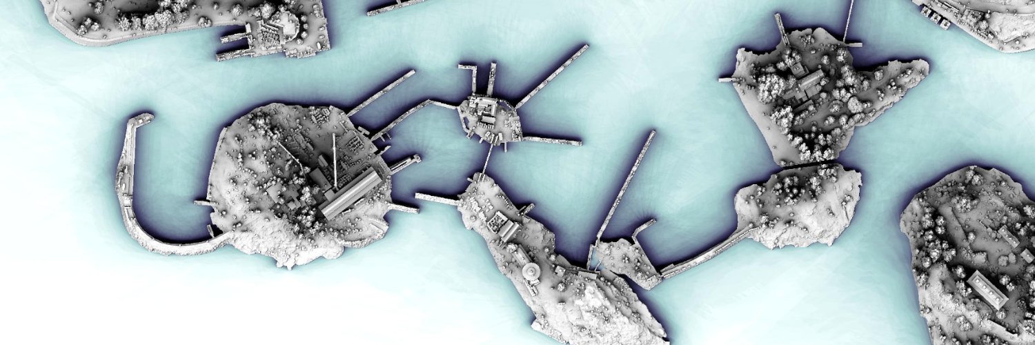
Diagonal panning video from a very detailed shaded map of Duluth, Minnesota, US. The full map is 25000 x 25000 pixels with 0.5 m resolution and is available at shadedmaps.github.io Data source: apps.nationalmap.gov [U.S. Geological Survey, National Geospatial Program]. #GIS
English
0
0
1
60
Shaded Maps
Shaded Maps@ShadedMaps·
Diagonal panning video from a very detailed shaded map of Las Palmas, Spain. The full map is 19549 x 27992 pixels with 0.5 m resolution and is available at shadedmaps.github.io Data source: centrodedescargas.cnig.es [Organismo Autónomo Centro Nacional de Información Geográfic...
Español
0
1
1
72
Shaded Maps
Shaded Maps@ShadedMaps·
Diagonal panning video from a very detailed shaded map of Poznań, Poland. The full map is 20000 x 20000 pixels with 0.5 m resolution and is available at shadedmaps.github.io Data source: geoportal.gov.pl [Head Office of Geodesy and Cartography]. #GIS #geography
English
0
1
1
69
Shaded Maps
Shaded Maps@ShadedMaps·
Diagonal panning video from a very detailed shaded map of Dover, Delaware, US. The full map is 24000 x 23996 pixels with 0.5 m resolution and is available at shadedmaps.github.io Data source: apps.nationalmap.gov [U.S. Geological Survey, National Geospatial Program].
English
0
2
2
117