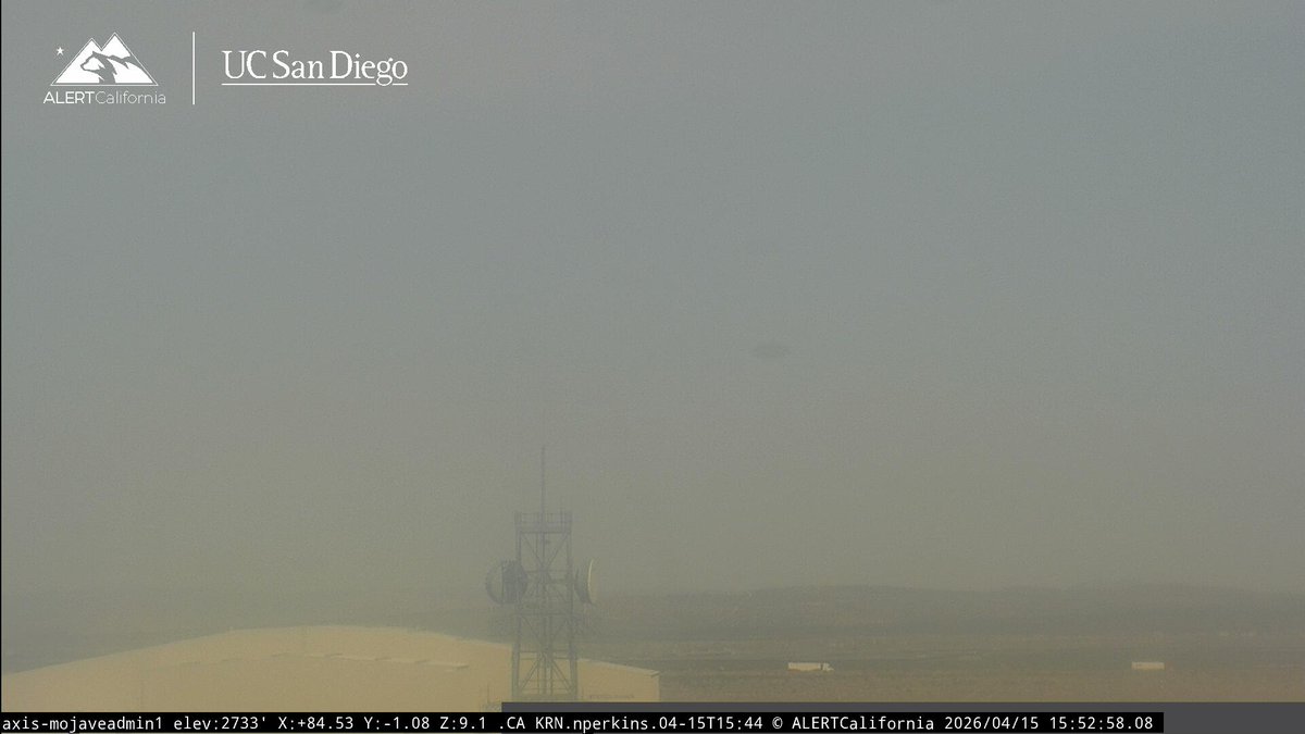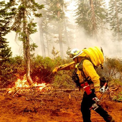
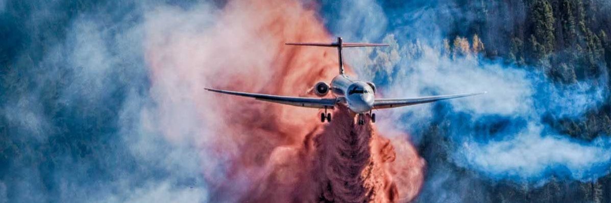
#ButteFire Desert Butte off Rosewood Blvd, West of California City Blvd, California City, Kern County.
3:54PM The fire is approximately 10 acres with a moderate wind out of the west with no structures threatened.
English
Wildfire Incidents
108.8K posts
@CodeRed001Blue
I report on wildfires, evacuations, shelter, weather, scanner, earthquakes, & road closures in California. 🛰🛩🔥🚒👩🚒🚁