Mapping Ottoman Epirus retuiteado
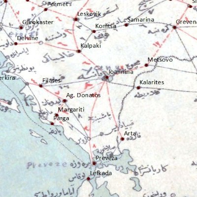
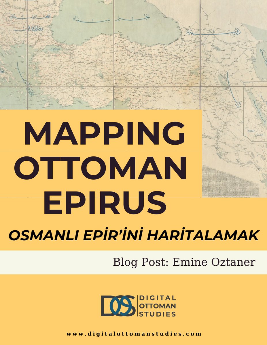
“Mapping Ottoman Epirus"
Our Editor @EmineOztaner introduces the project as a substantial step in introducing the perspective of digital humanities to Ottoman studies! @MapOttoman @ayayciog @fatmaoncely @pdblessing @PetersonGIS @underdarkGIS
digitalottomanstudies.com/post/epirus
English