Tweet fijado

✨🅐🅦🅔🅢🅐🅜 🅛🅐🅦🅨🅔🅡
1.8K posts

@lexamicuscuriae
🔜Atty. Cel 😍 #aweSAMLawyer! Law School & Trauma Dump | Aral Account | Rant Account | Manifesting Account | ♎️⚖️☕️🌸



#SciFeature 𝗝𝗨𝗦𝗧 𝗛𝗢𝗪 𝗛𝗢𝗧 𝗜𝗦 𝗠𝗘𝗧𝗥𝗢 𝗠𝗔𝗡𝗜𝗟𝗔? 🥵 Can you feel the urban heat? Here’s a snapshot of satellite-derived land surface temperatures across Metro Manila and nearby areas last April. What patterns stand out to you? The map reveals a striking thermal contrast. Deep red zones highlight densely built urban centers where land surface temperatures can exceed 40 °C and, in extreme hotspots, approach ~70 °C. In contrast, bluish-green areas indicate cooler surfaces, typically associated with vegetation, water bodies, or less-developed land. A few scattered patches appear cooler as well, but these are likely cloud cover rather than ground readings. The pattern is clear: Metro Manila’s urban core is significantly hotter than its surrounding suburbs and greener outskirts. This is a classic example of the urban heat island effect, where concrete, asphalt, and dense infrastructure absorb and re-radiate heat throughout the day and night, while limited tree cover reduces natural cooling through shade and evapotranspiration. As cities continue to expand, additional heat from vehicles, buildings, and industrial activity further intensifies local temperatures. These elevated surface temperatures can increase energy demand, worsen heat stress, and raise health risks, especially for elderly and low-income communities. #TagInit2026 #urbanheatisland #MetroManila



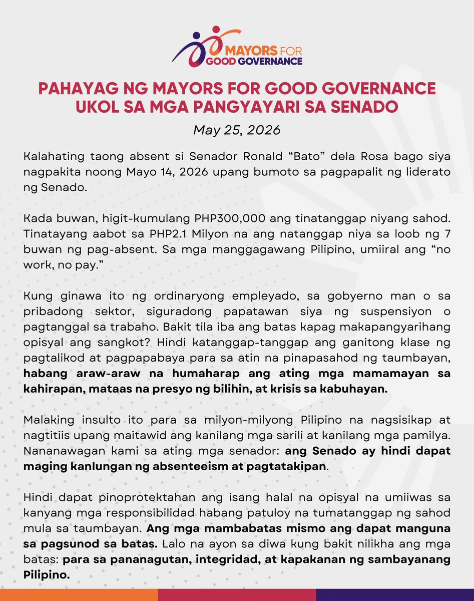
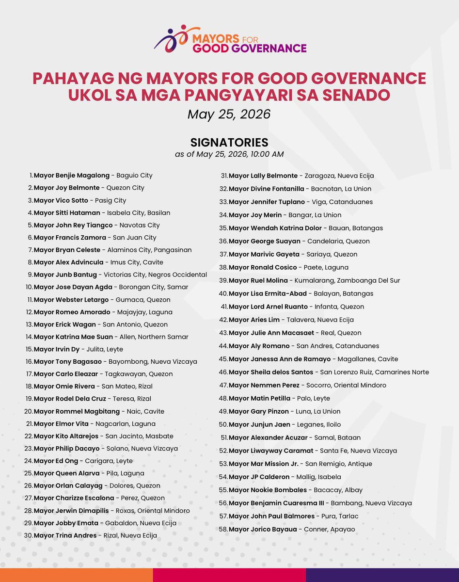


Rows of trees continue to be cut along Roxas Boulevard as clearing operations proceed for the Southern Access Link Expressway (SALEX) project. Photos show several trees already felled, with more marked for cutting or earth-balling. | via @eon_sanchez (Courtesy: Elmer Valenzuela)






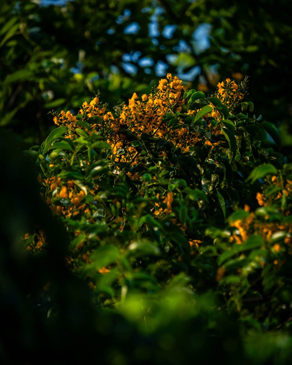


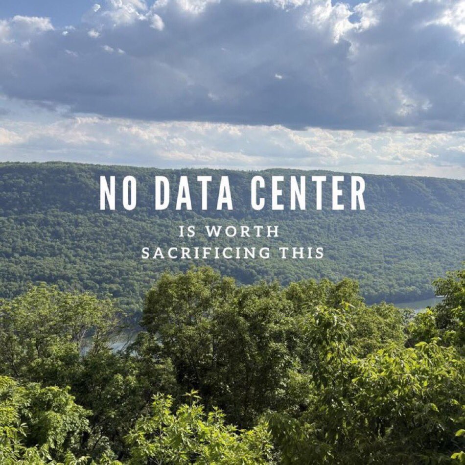
don’t you love it when it’s green