Vasilis Kalogirou

567 posts

Vasilis Kalogirou banner
Vasilis Kalogirou

Vasilis Kalogirou

@DrGeoInt

Downstream #EUSPACE Research & Innovation @EU4Space

In orbit Inscrit le Şubat 2021
725 Abonnements262 Abonnés
Vasilis Kalogirou
Vasilis Kalogirou@DrGeoInt·
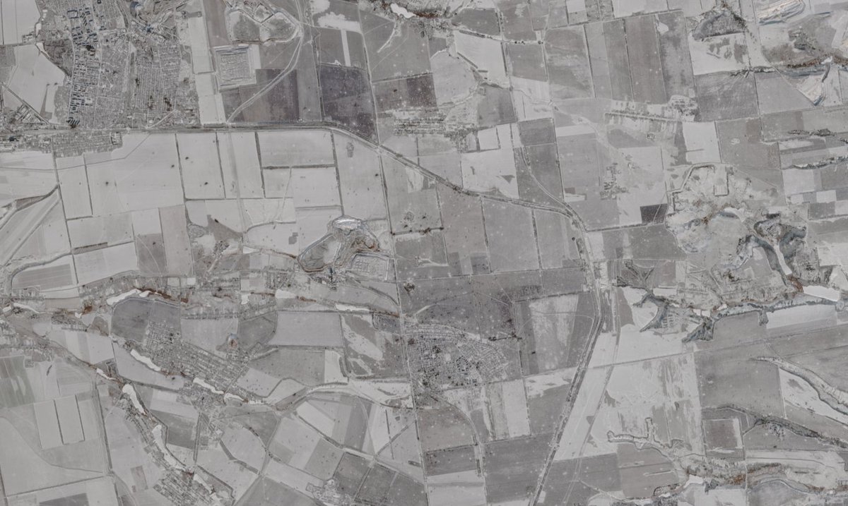
@clement_molin Interesting, thanks for sharing. Though, Sentinel-2 is not "commercial" data sources. Did you only use Sentinel or some other source?
English
0
0
0
246
Clément Molin
Clément Molin@clement_molin·
The latest commercial satellite images (Sentinel-2) showed most of eastern Ukraine covered with snow, which is very useful. Indeed, we can see every artillery and airstrike impacts, something we cannot see otherwise. I mapped 12 000 of them between Kostiantynivka and the Dnipro river, with two holes, the area around Novopavlivka/Ivanivka (some clouds) and the one north of Stepnohirsk and along the Dnipro, because there was no snow. Disclaimer, this map is obviously not showing all the impacts, I may have missed some, and the ones in urban areas are a bit more difficult to map. Moreover, some of those impacts are in fact airstrikes, but it is a minority. Let's start !
Clément Molin tweet media
English
6
14
368
39.7K
Clément Molin
Clément Molin@clement_molin·
On a 250 km long frontline, I managed to map 12 000 russian 🇷🇺 and ukrainian 🇺🇦 artillery strikes thanks to the snow cover With this map, I'll analyse with precision the current trends and next movements on the frontline as well as the location of the frontline 🧵THREAD🧵1/20⬇️
Clément Molin tweet media
English
45
475
2.9K
623.5K
Ricky Gervais
Ricky Gervais@rickygervais·
Off to Prague and I look really cool.
Ricky Gervais tweet media
English
1K
200
12.6K
372K
Vasilis Kalogirou retweeté
🛰 Eurisy
🛰 Eurisy@Eurisy1·
💡In just 1 week, experts, policymakers, and end-users will gather in Kranj, Slovenia to explore how satellites are transforming disaster risk management. Learn more and register⬇️ eurisy.eu/event/satellit…
🛰 Eurisy tweet media
English
0
2
5
461
Delian Alliance Industries
Delian Alliance Industries@delian_ai·
Deter. Detect. Defend. Soon unveiling our attritable one-way effectors designed for cost-effective anti-access/area denial capabilities and concealed deployment. More details on 5.5.25.
English
38
109
514
51.6K
Todd Master
Todd Master@MasterActual·
sometimes you just gotta post dank SAR volcano images
Todd Master tweet media
English
2
0
12
279
Vasilis Kalogirou retweeté
Will Marshall
Will Marshall@Will4Planet·
Cool that @planet has won this @NGA_GEOINT partnership for its Luno B program on AI! We agree with @NGA_GEOINT that space + AI is the future: It's enabling cool new applications. We also think Planet's uniquely positioned with its daily scan of the entire landmass and archive over 3,000 layers deep on which to train the models - with huge security implications for finding new acts around the planet. The Holy Grail in intelligence is finding unknown unknowns, not just looking in more detail at known knowns. Details here: go.planet.com/lunob
English
5
9
72
8.1K
Vasilis Kalogirou
Vasilis Kalogirou@DrGeoInt·
@LionnetPierre These are images of burnt areas, so not quite useful for the response phase, but rather for the recovery phase. I also wonder the same every single time there is a disaster event & companies rush to bring out images, which most of the times come after the core event took place
English
0
0
1
45
Pierre Lionnet
Pierre Lionnet@LionnetPierre·
Been often wondering about this: what is the added value of this kind of image for ’emergency response’? And if it is given for free, at the moment it is would be most needed, doesn’t it defeat the whole busines case of commercial imagery? Genuinely curious here.
Airbus Space@AirbusSpace

As part of our commitment to supporting emergency response efforts, we are making the latest #Airbus satellite imagery over Los Angeles available on our website. Our multi-sensor satellites are providing critical insights to monitor and assess the disaster’s impact. These newly captured before-and-after images show the severity of the situation. Access to our latest full resolution imagery here: space-solutions.airbus.com/newsroom/satel… Our thoughts are with all those affected and we salute the incredible resilience of the communities and first responders facing the crisis.
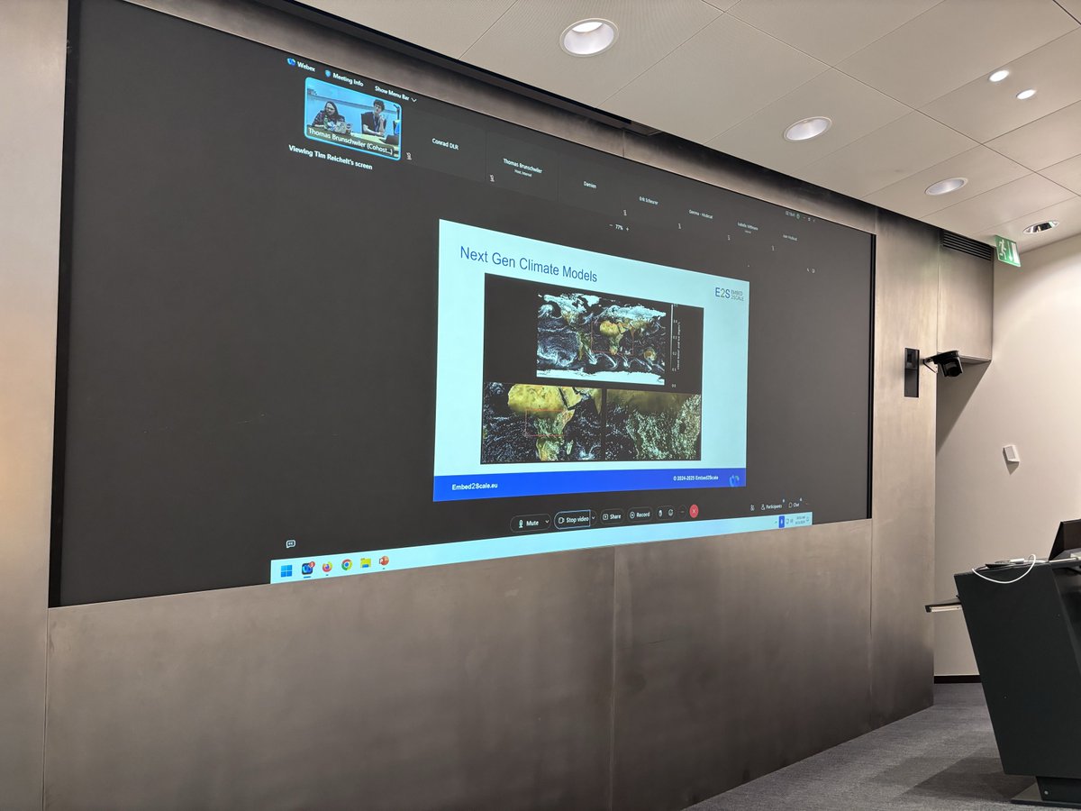
English
10
0
11
2.5K
Vasilis Kalogirou retweeté
PEFC International
PEFC International@PEFC·
Last month, we collaborated with @EU4Space to host an online workshop to showcase how EU Space data, particularly Copernicus, can support sustainable forestry practices. Find out more: treee.es/euspa
PEFC International tweet media
English
0
4
4
493
Jimmy McGill
Jimmy McGill@JimmyMcGill666·
Ως γονέας, κύριε @NikosDendias με παιδί υψηλής λειτουργικότητας στο φάσμα του αυτισμού έχω να πω ότι λέτε μαλακίες. Τα παιδιά αυτά θέλουν θεραπείες και όχι εκπαίδευση για να γίνουν στρατιώτες! Ας το επιλέξουν μόνα τους τι θα γίνουν και όχι εσείς!
Ελληνικά
30
163
651
31.6K
Thomas Mavrofides 🇵🇸
Thomas Mavrofides 🇵🇸@blacktom1961·
Ρε μλκ, τι λέει; ΤΙ ΛΕΕΙ ΤΟ ΚΑΘΑΡΜΑ Ο ΔΕΝΔΙΑΣ; Η κυβέρνηση προτείνει παιδιά με αυτισμό να επιλέγουν φωτογραφίες με υποψήφιους στόχους για drones! eksegersi.gr/politiki/i-kyv…
Ελληνικά
73
207
565
49K
Maciej Popowski
Maciej Popowski@MPopowskiEU·
Great visit to Instituto Departamental La Independencia in Honduras, where we saw the early warning system in action with our partners @trocaire & @UNDP and local authorities  Early warning is central to @eu_echo’s work to protect people from disasters worldwide.
Maciej Popowski tweet mediaMaciej Popowski tweet media
English
1
4
19
2.6K
Vasilis Kalogirou
Vasilis Kalogirou@DrGeoInt·
@aravindEO This comparison makes sense at stand-level, rather than tree level because the density dynamics change as the stand progresses and grows. I'm not sure about the consensus though!
English
0
0
1
26
Aravind 🌍 🛰
Aravind 🌍 🛰@aravindEO·
Question: Do we have a consensus on whether younger trees are equally good at capturing/storing carbon as older trees that were cut down? And what other factors might we be missing in this like-for-like comparison?
English
1
0
0
328
Aravind 🌍 🛰
Aravind 🌍 🛰@aravindEO·
Analysis of Sentinel-2 satellite images by @Kayrros showed that 329 hectares (813 acres) of forest were cut down. However, as the article describes, this might be a trade-off considering the number of fossil-fuel-powered cars Tesla replaces. theguardian.com/technology/art…
English
1
0
5
630
Vasilis Kalogirou
Vasilis Kalogirou@DrGeoInt·
@i_ameztoy Okavango Delta was in one my first remote sensing exercises with MODIS data, 20 years ago. Special place indeed
English
1
0
1
36
-- -- ---------
-- -- ---------@i_ameztoy·
Same as previous but zoomed-in version to the Okavango - #Copernicus #Sentinel2 🛰️ 2024. In case you want to download the full size image, you can find the link in the previous post (Open thread).
-- -- --------- tweet media
English
1
0
4
563
-- -- ---------
-- -- ---------@i_ameztoy·
Colors of Africa - Wide Series | The Okavango Delta & surroundings 🦁🐮🐘🦒🦏🦓 A fantastic 1100x420 km cloud-free image acquired between May/June 2024 by #Copernicus #Sentinel2 🛰️displayed as a false color composite using the SW, IR & R bands Full Size: flic.kr/p/2q1ehHy
-- -- --------- tweet media
English
1
4
27
6.9K
Embed2Scale
Embed2Scale@Embed2Scale·
A wrap up on our 𝟮 𝗗𝗮𝘆𝘀 𝗼𝗳 𝗜𝗻𝗻𝗼𝘃𝗮𝘁𝗶𝗼𝗻 & 𝗖𝗼𝗹𝗹𝗮𝗯𝗼𝗿𝗮𝘁𝗶𝗼𝗻 𝗶𝗻 𝗭𝘂𝗿𝗶𝗰𝗵 🙌 Big thanks to all partners for their dedication and insights. Together, we’re pushing the boundaries of embedding technologies and AI scaling!🤝 @EU4Space
Embed2Scale tweet mediaEmbed2Scale tweet mediaEmbed2Scale tweet mediaEmbed2Scale tweet media
English
1
0
5
36