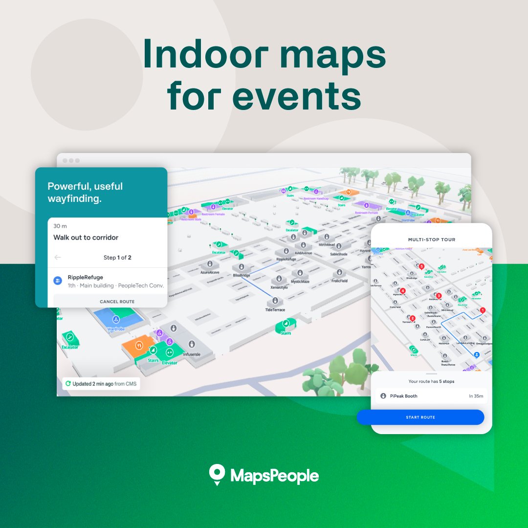
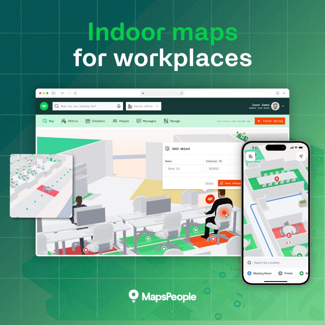
Companies spend big on workplace tech – booking, desks, sensors.
Still, people can’t find quiet rooms or IT.
The tools aren’t broken. The map is.
Design for how people move, not how buildings are organized.
7 fixes → hubs.la/Q048cR4_0
English
MapsPeople
157 posts
@MapsPeople
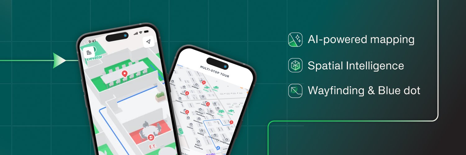
MapsPeople builds the AI spatial intelligence layer for intelligent indoor maps and connected environments.