固定されたツイート
#ReadyWichitaFalls | Know the difference between a Watch vs. a Warning. We hope you TACO-about it at work and home today.
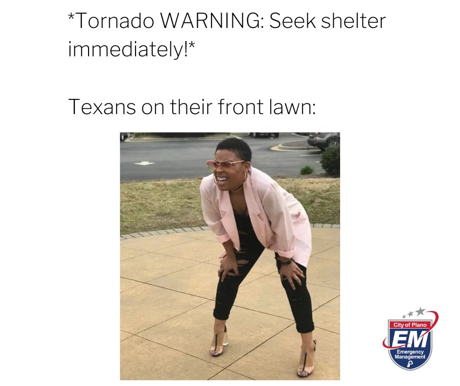
👀 Tornado Watch = Be aware.
🌪 Tornado Warning+ Take Action!
Visit, wichitafallstx.gov/2279/Wichita-F…

English
Wichita Falls Office of Emergency Preparedness
3.5K posts
@WFOEP
The official page of the City of Wichita Falls, TX Office of Emergency Preparedness.


A tornado watch has been issued for parts of Oklahoma and Texas until 3 AM CDT


Satellite and model guidance continues to indicate the best chance of severe thunderstorm develop will occur across parts of western north TX and southern Oklahoma over the next 1 to 2 hours. Be ready to seek shelter if warnings are issued. #okwx #texomawx

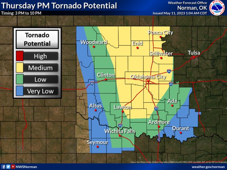

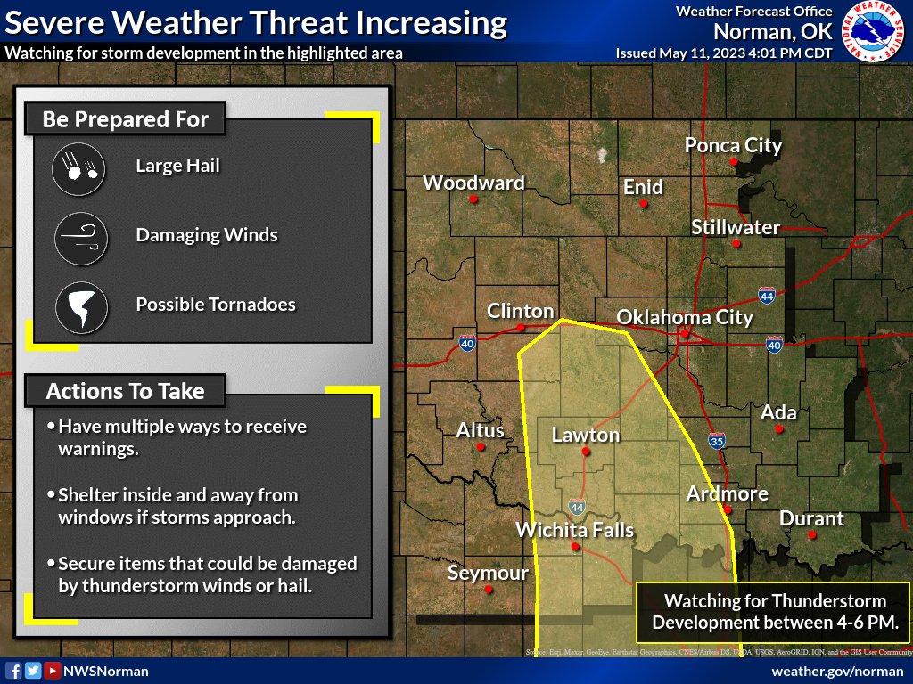
Today: Expect another round of severe storms late this afternoon and into the evening. Thunderstorms will be capable of producing baseball-size hail and damaging wind gusts up to 80 mph, primarily within the Slight Risk area (see below, area in yellow). #okwx #texomawx
Severe storms are expected to fire ahead of a dryline over western north Texas & south-central OK (4-6 PM)... Very strong instability will result in very large hail (baseballs), & high cloud bases (deep sub-cloud dry air) will result in wind gusts up to 80 mph. #okwx #texomawx