LOCMaps

5.8K posts

LOCMaps banner
LOCMaps

LOCMaps

@LOCMaps

Official account of the @LibraryCongress Geography & Map Division, the largest map library in the world. All Library accounts: https://t.co/T907knoXYf

Washington, DC 가입일 Haziran 2011
86 팔로잉33.8K 팔로워
LOCMaps
LOCMaps@LOCMaps·
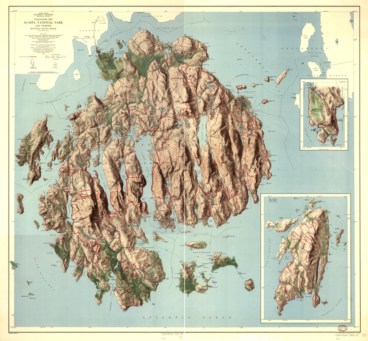
This 1960 topographic map vividly captures the rugged terrain of Acadia National Park in Maine! Take a closer look here: loc.gov/item/98687187/…
LOCMaps tweet media
English
0
0
11
829
LOCMaps
LOCMaps@LOCMaps·
This 1874 map of the Chicago, Milwaukee, and St. Paul Railway features illustrations of natural landmarks along the route! Take a closer look here: loc.gov/item/200662604…
LOCMaps tweet media
English
0
2
20
824
LOCMaps
LOCMaps@LOCMaps·
This vibrant panoramic map covers the expansive grounds of the 1893 World's Columbian Exposition in Chicago! Take a closer look here: loc.gov/item/98687181/…
LOCMaps tweet media
English
1
5
28
1.3K
LOCMaps
LOCMaps@LOCMaps·
Learn all about the challenges that Sanborn Map Company surveyors faced when surveying buildings in our recent blog post "Sanborn to Run: Overcoming Workplace Obstacles for Fire Insurance Surveyors." The full post is available online here: blogs.loc.gov/maps/2026/01/s…
LOCMaps tweet media
English
0
11
21
1.4K
LOCMaps
LOCMaps@LOCMaps·
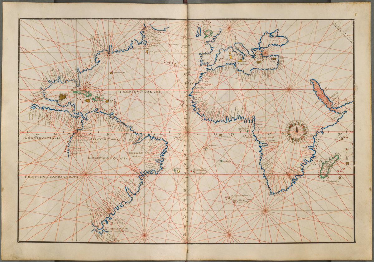
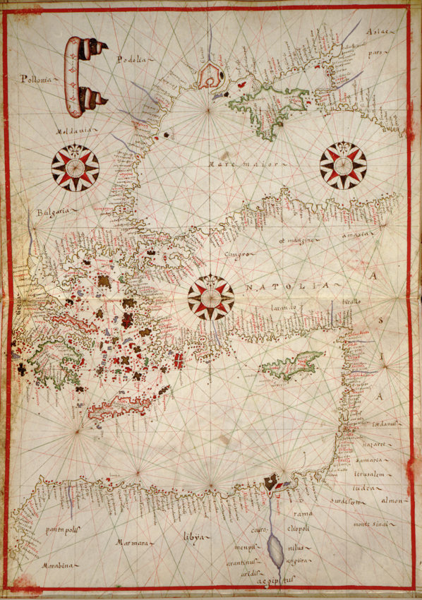
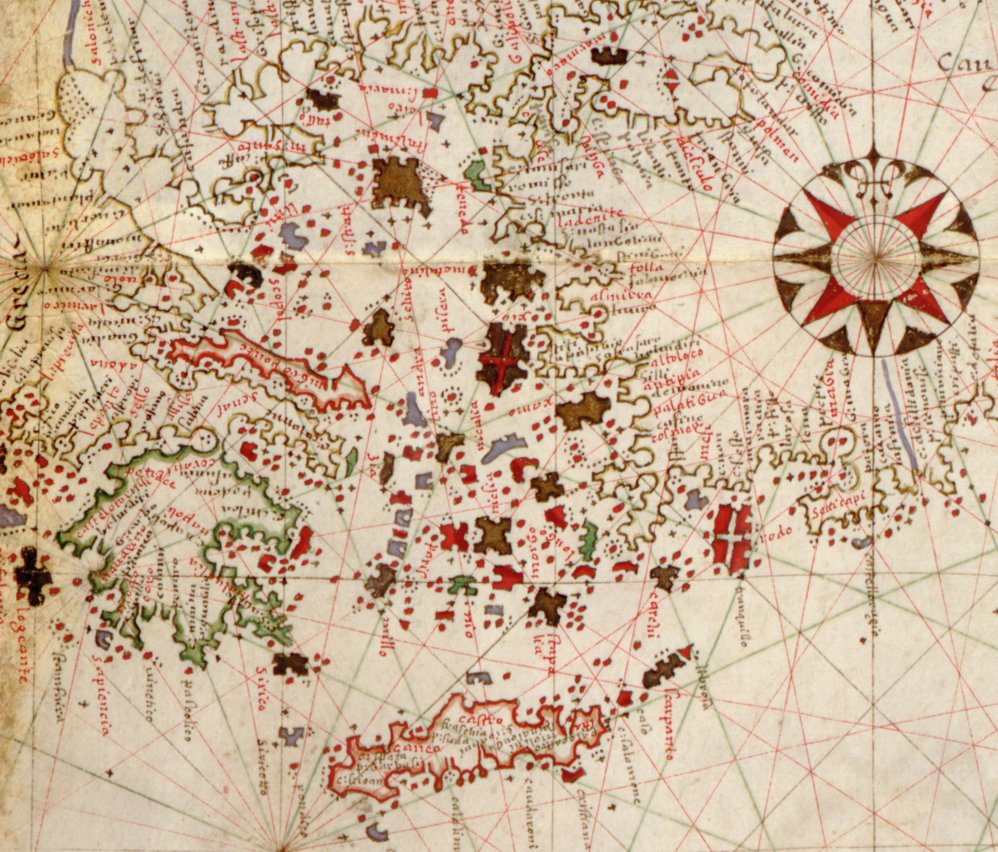
Curious about our nautical chart collections? Please join G&M staff on Feb 10th for a virtual orientation to our nautical charts and resources! Date: Tuesday, February 10, 2026 Time: 3:00-4:00 pm (Eastern) Register for this session here: loc.zoomgov.com/webinar/regist…
LOCMaps tweet media
English
1
5
19
2.3K
LOCMaps
LOCMaps@LOCMaps·
Join us on Feb 26 between 5-8pm for "Adventures in Topographic Mapping" featuring games and crafts, a display of topographic collection items, and a talk by cartographer Tom Patterson on techniques of terrain mapping. Full details and links to register: blogs.loc.gov/maps/2026/01/c…
LOCMaps tweet media
English
0
1
7
597
LOCMaps
LOCMaps@LOCMaps·
This fascinating 1912 panoramic map of Black Mountain, North Carolina comes with glowing descriptions of the town's mountain setting and photographs showcasing local life! Take a closer look here: loc.gov/item/75694897/…
LOCMaps tweet mediaLOCMaps tweet mediaLOCMaps tweet mediaLOCMaps tweet media
English
0
0
2
532
LOCMaps
LOCMaps@LOCMaps·
Learn all about an early American subscription service for road maps in our latest blog post, "An 18th Century Survey of the Roads of the United States of America." The full blog post is available online here: blogs.loc.gov/maps/2026/01/a…
LOCMaps tweet media
English
0
4
10
807
LOCMaps
LOCMaps@LOCMaps·
Santo Domingo is the topic of our latest blog post, "Colonial Contestations for the “First City of America”: The History of Santo Domingo in Maps." Read the post online here: blogs.loc.gov/maps/2025/12/c…
LOCMaps tweet media
English
0
3
8
709
LOCMaps
LOCMaps@LOCMaps·
This 1906 map, featuring a wild array of colorful labels, showcases Philadelphia as the "manuft'g and industrial capital" of the U.S., with railroad connections to coalfields, the seashore, and beyond. Take a closer look here: loc.gov/item/79695309/…
LOCMaps tweet mediaLOCMaps tweet media
English
0
1
6
593
LOCMaps
LOCMaps@LOCMaps·
The Geography & Map Division holds 19 of the 21 variations of John Mitchell's infamous map of North America, published between 1755 and 1791. Read all about it in our latest blog post, "John Mitchell's Map of North America." Read the full post here: blogs.loc.gov/maps/2025/12/j…
LOCMaps tweet media
English
2
11
15
836
LOCMaps
LOCMaps@LOCMaps·
Interested in mapping and GIS? Join the Geography & Map Division this summer for a paid, 10-week Junior Fellowship. It's a rare opportunity to create a spatial search app for historical Austro-Hungarian Empire maps. Application deadline is January 2! usajobs.gov/job/851223700/…
LOCMaps tweet media
English
0
3
6
644
LOCMaps
LOCMaps@LOCMaps·
This incredible late-16th century map, featuring colorful illustrations of the coasts of modern-day Greece and Turkey, is from a portolan atlas by Joan Oliva. See the full atlas here: loc.gov/item/200563403…
LOCMaps tweet mediaLOCMaps tweet media
English
0
3
7
623
LOCMaps
LOCMaps@LOCMaps·
This beautiful 19th century pictorial map of Ningbo, China includes stunning ship illustrations and depictions of the built environment! Take a closer look here: loc.gov/item/gm7100246…
LOCMaps tweet mediaLOCMaps tweet mediaLOCMaps tweet media
English
1
4
6
866
LOCMaps
LOCMaps@LOCMaps·
Pierre L’Enfant helped design the layout of Washington, DC - but what other cities may have influenced him? Read all about it in our latest blog post "Diagonals, Vistas, and Canals: Tracing L’Enfant’s Influences Beyond D.C." The post is available online: blogs.loc.gov/maps/2025/09/d…
LOCMaps tweet media
English
1
0
8
775
LOCMaps
LOCMaps@LOCMaps·
This bird's eye view of Lansing, Michigan was published in 1866 by Chicago Lithographing Co. and features the Michigan State Capitol, Michigan Female College, Lansing Academy, and more. See the map image in full here: loc.gov/item/73693436/…
LOCMaps tweet media
English
0
0
8
556
LOCMaps
LOCMaps@LOCMaps·
This sweeping 1878 panoramic map captures the natural beauty and stately homes of Newport, Rhode Island. Take a closer look here: loc.gov/item/75696563/…
LOCMaps tweet mediaLOCMaps tweet media
English
0
4
12
973
LOCMaps
LOCMaps@LOCMaps·
This colorful 1890 railroad map of the Shenandoah Valley Route and its connections advertises regional Virginia tourist attractions, including Luray Caverns and Natural Bridge! See the full map here: loc.gov/item/98688803/…
LOCMaps tweet mediaLOCMaps tweet media
English
0
5
13
1.2K
LOCMaps
LOCMaps@LOCMaps·
Learn more about textile cartography with our recent blog post "Maps on Fabric: A Selection of Textile Cartography," which gives an overview of the cloth maps held by the Geography & Map Division. The full post is available online here: blogs.loc.gov/maps/2025/08/m…
LOCMaps tweet media
English
1
5
11
1.2K