고정된 트윗

I'm so incredibly proud and excited to see the announcement of the Exyn Nexys to the world. This has been the most challenging, complex, and rewarding project that I've had an opportunity to lead. In less than 12 months we've gone from concept to launch!
Exyn@ExynTech
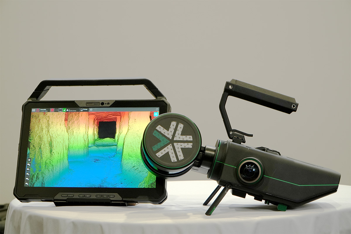
Introducing Nexys. A modular mapping & surveying ecosystem that allows users to quickly capture highly accurate, colorized, real-time 3D point clouds in complex, GPS-denied environments. Autonomous when you need to explore, modular when you can capture by hand. #geoweek ... 0/8
English