Shout out to a (we think) lesser known piece of #GIS and #remotesensing software out there in our corner of the country
@datemsystems has built a neat app that specializes in stereo image photogrammetry and feature detection. Check them out over at: datem.com/summit-evoluti…
Has your Department of Transportation announced an upgrade to Bentley MicroStation CONNECT or ORD? No problem, DAT/EM is ready to help you upgrade, too. Capture and MapEditor for CONNECT/ORD is available for users who have active support. Contact DAT/EM Support today for details.
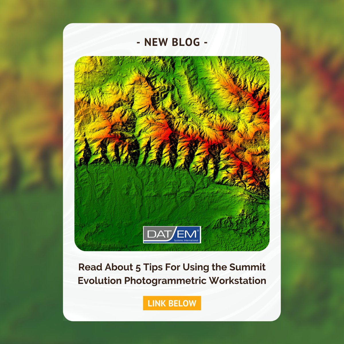
The Summit Evolution photogrammetric workstation from DAT/EM System International offers a suite of photogrammetric tools at an affordable cost. Because it has such a wide range of capabilities, it's suited for any project, big or small!
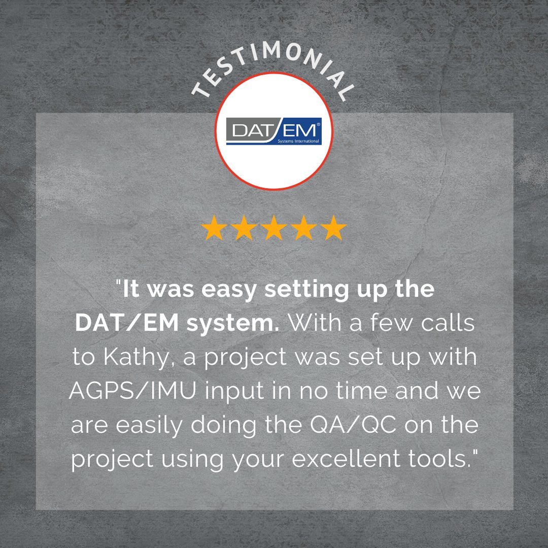
At DAT/EM Systems International, we aim to help our clients maximize efficiency through our quality software and communication. Our team is highly knowledgeable and ready to support your needs and get you set up with ease!
If you’re new to using Summit Evolution as your personal photogrammetric workstation or are considering trying it out, there are several key tips you need to get started successfully. Check out our most recent blog post to learn more: loom.ly/0qY_VVY
Summit Evolution offers many useful tools, such as automatic orientation capabilities, visualization and feedback features, unlimited zoom levels, and much more.
creates three-dimensional ground coordinates within relatively oriented stereo pairs.
📹Exterior Orientation: creates three-dimensional ground coordinates without the need to perform relative and absolute orientations.
Learn more about our software here: datem.com/summit-evoluti…
Summit Evolution's orientation tools consist of...
📹Interior Orientation: transforms scanned pixel coordinates into photo coordinates.
📹Relative Orientation: aligns the two images of a stereo pair so that they can be viewed in stereo.
📹Absolute Orientation:
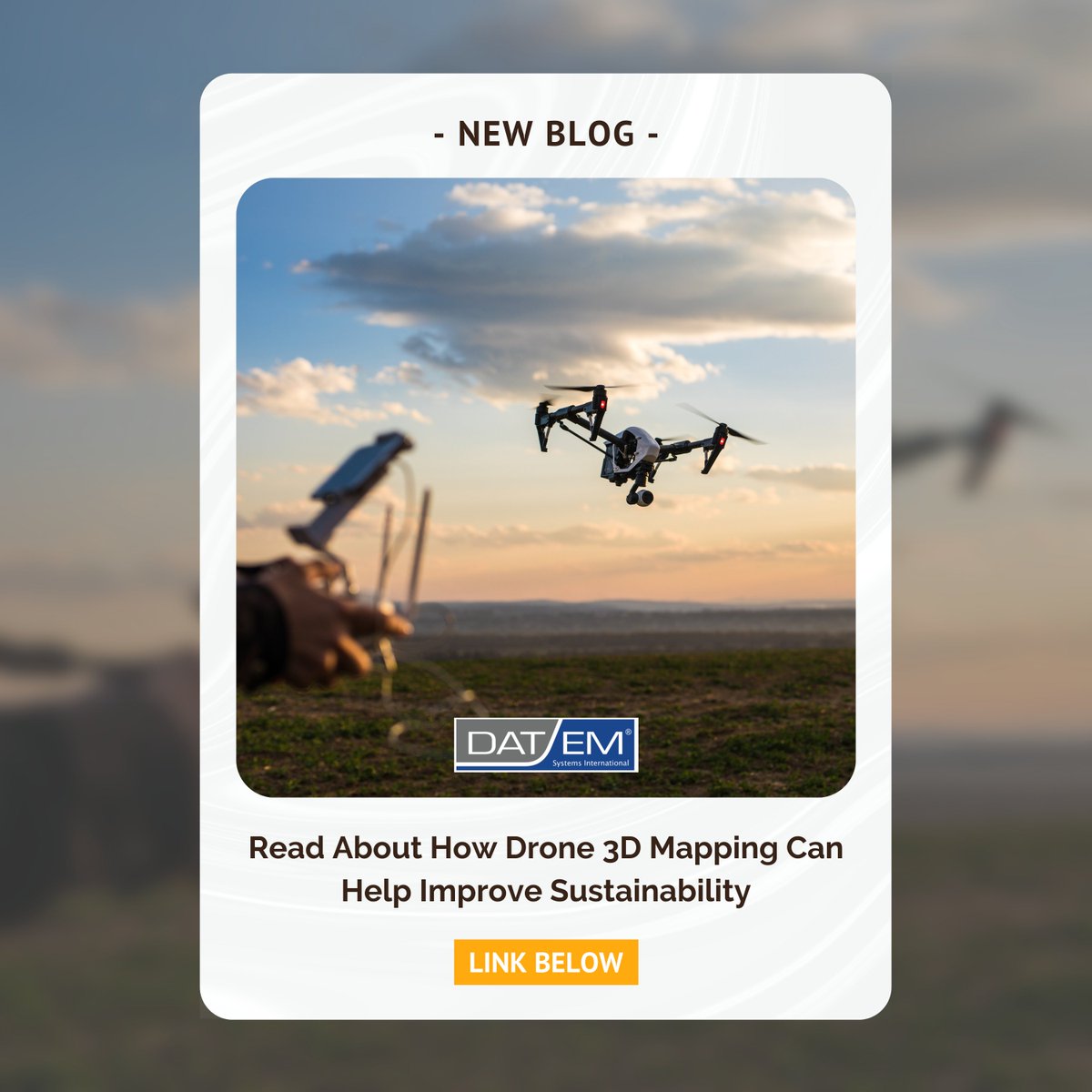
and survey the land without physically stepping foot on it.
Check out our blog to read more on how you can utilize drone 3D maps to gain valuable insights into how they can make their processes more efficient and, therefore, more sustainable: loom.ly/2RvRkU4
For many industries, drone 3D mapping can be a huge help in improving sustainability. Paired with photogrammetric software, images captured by UAVs can be used to take more precise measurements, consistently monitor landscapes,
tools to manage large bundle-adjusted projects as well as smaller projects consisting of single stereo pairs. Users can roam seamlessly throughout an entire bundle-adjusted project as well as a single stereo model. Learn more here: datem.com/summit-evoluti…
Summit Evolution's project-based information management employs Microsoft-compliant windows and dialogue boxes that provide easy access to any location on any model!
Summit Evolution provides the user with—
DAT/EM systems are created with intention. We aim to provide the best user experience possible by considering each and every updating suggestion. This way, we can be sure that our software meets, and even exceeds the expectations of our client base.
Direct sunlight provides uneven lighting around an object and casts hard shadows, which will need to be removed if you aim to extract PBR textures and relight your scanned object.
One of the most common problems with scanning outdoor objects is the variable of the sun. The key to getting the most consistent results with any 3D scan is avoiding sunny days.