Geo-Information Communication (GIC) Ltd
729 posts

Geo-Information Communication (GIC) Ltd
@GIC_Ug
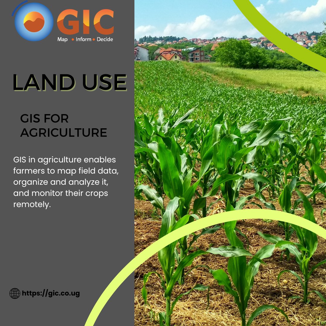
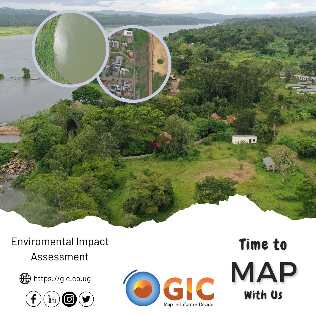
Technology based company with focus on providing solutions and services in Aerial Surveying🛩 & Mapping🛣, GIS, Remote Sensing, Trimble Hardware & Software.🇺🇬
Kampala, Uganda Katılım Nisan 2016
337 Takip Edilen516 Takipçiler

Still about #Uganda@61, We celebrate with the rest the freedom gained and honour the sacrifices made right from the start. Let our independence remind us of the spirit of resilience to keep moving on.
#giccelebrates #ugat61 #gis #dronemapping #surveying #trimble #optron

English

From our team to you, may you have a fruitful and blessed month. Feel free to contact us for all your trimble needs and drone requirements.
#mapping #geospatial #drones #aerialmapping #surveying

English

A powerful instrument for surveyors, the Trimble S7 Total station comes as a feature-rich robotic total station with an included radio to meet all your field expectations. Contact to find the best combination of Trimble products to suit your needs.
#trimble #surveying #mapping

English

Do more with the Trimble R2 GNSS system, Collect highly-accurate data in a wide range of #geospatial applications with submeter to centimeter positioning accuracy. Find out more with this flexible and easy to use GNSS receiver for GIS and survey professionals
#surveying #mapping

English

Wishing you a blessed week ahead with the Trimble R12i GNSS system that delivers unmatched GNSS performance and accuracy to boost the productivity of land surveyors like never before.
#trimble #trimblegeospatial #mapping #surveyequipment #surveying #Optron

English

The Trimble X12 3D Laser scanner provides high-end laser scanning with exceptional scanning speed and range combined with laser-focused accuracy and imagery, discover more with us.
#mapping #surveying #surveyequipment #trimble

English

Aim, measure and mark effortlessly with a vivid green laser pointer with the smallest point size in the industry, just 3 mm at 50 m, that's still eye safe.
#trimble #trimblegeospatial #surveying #gis #mapping #optron

English

Call on us to find out how GIS can be used to develop disaster risk reduction strategies, such as early warning systems and emergency response plans. For any climate emergency worries, be updated and pick some lessons with us..
#mapping #surveying #dronemapping #climatechange

English

When you fly your drone, always have a mission in mind. Planning can help you achieve the mission objectives and prevent you from getting into trouble like avoiding restricted air spaces, keep track of flying height restrictions and battery life. Follow us and learn more
#drone

English

Carry out precise field data collection with the Trimble TSC5; an Android-based survey controller featuring a five-inch screen and full keyboard—ensuring fast and efficient operation. Learn more here gic.co.ug
#mapping #trimble #surveying #surveyequipment

English

Join us as we embark on the journey to save the environment; with GIS you can monitor water quality and identify areas prone to pollution having impact on human health and ecosystems.
#GIS #Mapping #surveying #aerialmapping #climatechange

English

Start your week with the new Site Vision Outdoor Augmented Reality System and reimagine your future with the power of information while doing what you love.
#surveying #surveyequipment #mapping #trimble

English


