
NV5 Geospatial Software
7.2K posts
NV5 Geospatial Software
@GeoByENVI
NV5 Geospatial Software is part of @NV5Geospatial. We help professionals access, analyze and share geospatial data and imagery to solve critical problems.
Colorado Katılım Temmuz 2009
513 Takip Edilen7.7K Takipçiler

Read how ENVI® helped deliver actionable intelligence from complex multispectral and hyperspectral datasets for SaraniaSat's demonstration of cloud-native computing onboard the International Space Station (ISS). 🚀.
hubs.ly/Q03YXRKh0

English
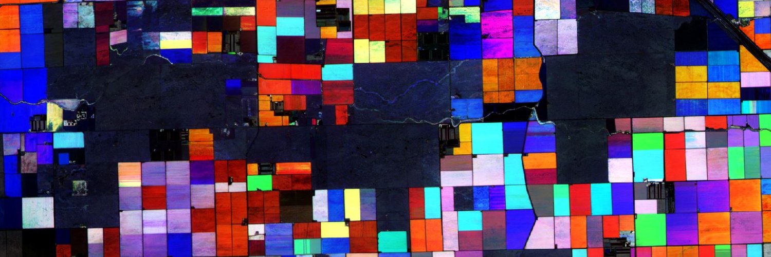
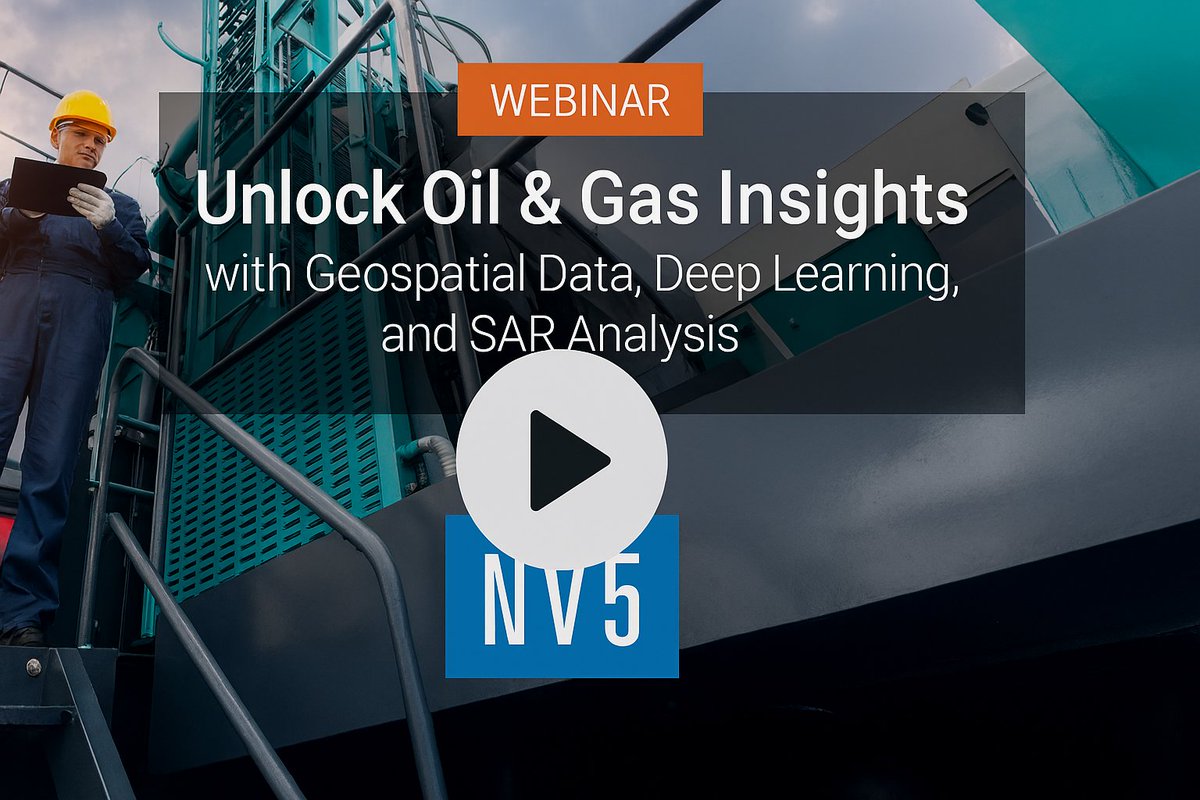
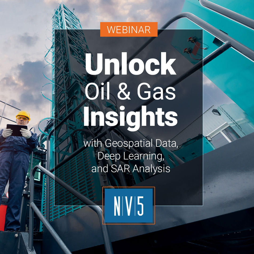
#Oil&Gas companies collect vast amounts of satellite, aerial, and drone imagery, yet they often lack the tools needed to efficiently process and extract meaningful insights from it. Watch this webinar:
▶️hubs.ly/Q03YtY3D0
#Geospatial #RemoteSensing #DeepLearning #SAR
English
Understanding how the ground moves during #earthquakes is essential for disaster preparedness, public safety, and building community resilience. See how #ENVIEcosystem is used to analyze earthquakes and surface deformation in Taiwan. hubs.ly/Q03YdLNp0
English
Explore how NV5 is helping organizations deliver safer, more resilient infrastructure in our December Developments Newsletter. Read now: hubs.ly/Q03Y333w0
#NV5 #GeospatialNews #GeospatialInnovation

English
Stop by the NV5 booth at #AGU25 to see how #ENVI and #IDL are being used to solve complex problems in the Earth and space sciences. We’ll also demonstrate our agentic platform that’s built to interpret user prompts, invoke #geospatial tools, and execute end-to-end workflows.

English
Don't miss out! Join us tomorrow, Dec. 10, for a live webinar, Unlock Oil & Gas Insights with Geospatial Data, Deep Learning, and SAR Analysis. Register today: hubs.ly/Q03XtyMR0
#NV5 #Geospatial #RemoteSensing #GeospatialTechnology #OilandGas

English
Catch Chancee Vincent from NV5 at Geo Week News’ webinar, Ahead of the Curve: Emerging Ideas Redefining Geospatial. On Dec 10, 1–2 PM ET.
Save your seat: hubs.ly/Q03XhfBM0
#Geospatial #GIS #RemoteSensing #AI #DigitalTwins #DataInteroperability #NV5 #GeoWeek #Webinar

English
Discover how you can monitor ground deformation and infrastructure stability with #ICEYE data and #ENVI #SARscape. This blog explores Amplitude and Coherence Time Series—and how these analytics provide #geospatial insights. bit.ly/4iwgv3C
English
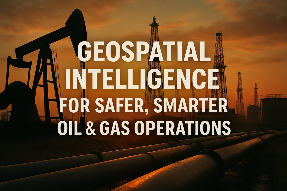
By leveraging NV5's advanced #GeospatialAnalytics, #OilandGas organizations can automatically detect infrastructures, monitor ground deformation, identify environmental damage, and much more. Curious how geospatial intelligence could impact your projects? bit.ly/444Mimx
English
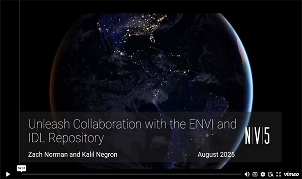
Discover how the new #AnalyticsRepository empowers teams to tackle remote sensing challenges together—boosting collaboration, innovation, and productivity for data scientists and technical users. Watch our webinar: hubs.ly/Q03SND1w0
#GeospatialInnovation #TeamCollaboration
English
Think you know your maps and spatial data? Put your knowledge to the test!
👉 Take our quick GIS Day quiz: hubs.ly/Q03V0W7w0
Happy #GISDay2025!!!
#Geospatial #GIS #SpatialAnalysis #RemoteSensing #EarthObservation #Esri #NV5
English
By leveraging advanced #GeospatialAnalytics, #OilandGas organizations can detect and classify critical infrastructure, monitor subsurface changes, and assess risk with precision. You're invited to our upcoming webinar. ➡️Register here: hubs.ly/Q03Sw9Df0
English
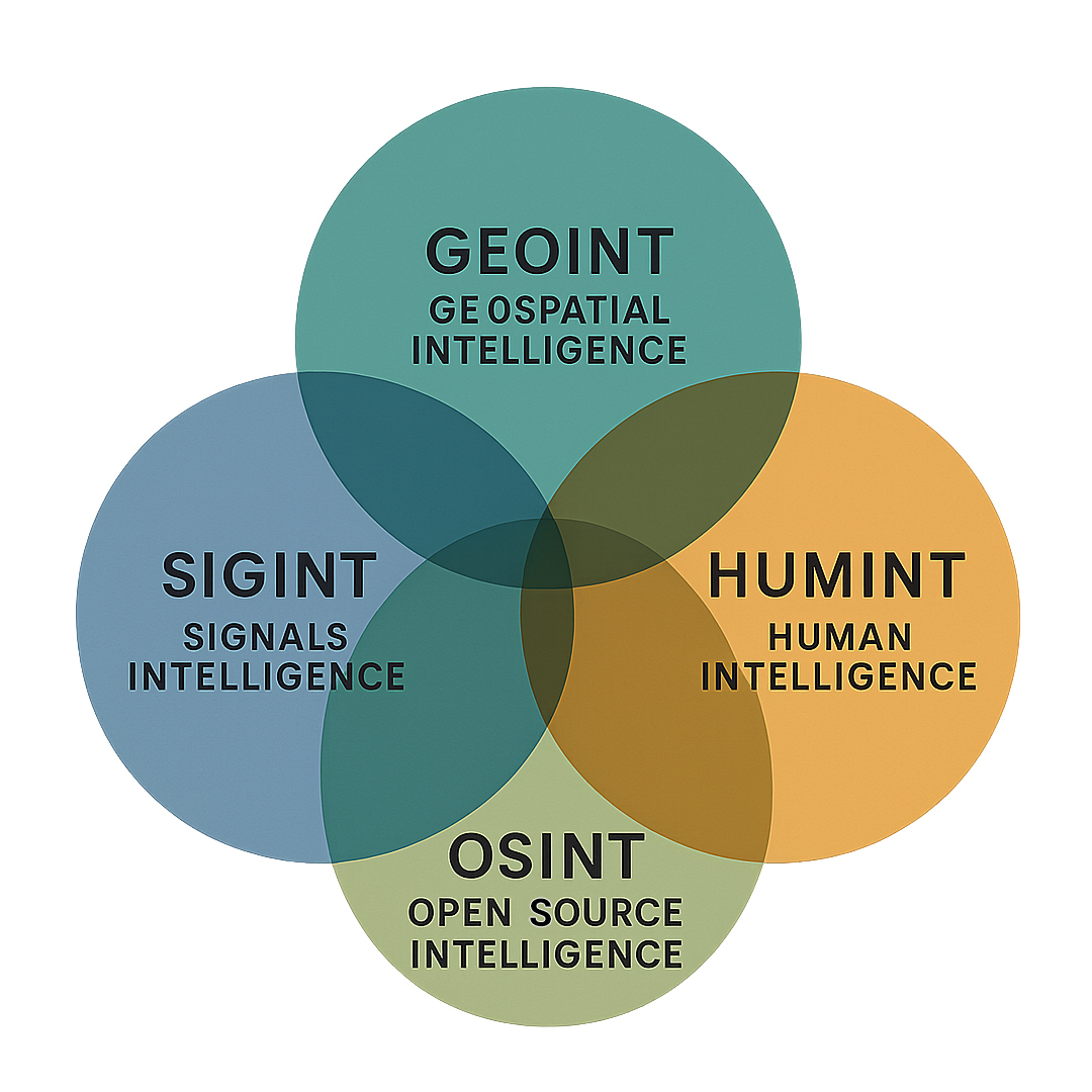
In Defense & Intelligence, each discipline (e.g., GEOINT, SIGINT, HUMINT, OSINT) has traditionally operated in isolation. See how agentic AI workflows are orchestrating intelligence across domains: hubs.ly/Q03Sxsv10
#NV5geospatial #IntelligenceIntegration #agenticAI
English
What does it really take to move from a system of record to a system of intelligence?
Join NV5 + Trimble experts Nov 19 to learn how connected data powers AI-ready asset management.
hubs.ly/Q03STkbd0
#AssetManagement #AIReady #TrimbleUnity #SmartInfrastructure #GIS

English
🌳 By leveraging remote sensing and deep learning, South Korea is moving beyond assumptions to actionable, observation-based data for national forest classification and better carbon management.
hubs.ly/Q03SCl5t0
#Geospatial #SustainableForests #GHGReporting #ENVI

English
The road to AI-ready asset management starts here.
See how NV5 + Trimble help organizations modernize, connect data, and prepare for AI transformation.
Read the blog + learn more about our upcoming webinar: hubs.ly/Q03S9_SX0
#AssetManagement #AIReady #TrimbleUnity #NV5

English
From innovative projects to industry insights, our latest Developments newsletter is packed with updates you won’t want to miss.
➡️Read it now: bit.ly/49DYsWR
#NV5 #GeospatialNews #GeospatialInnovation

English
Tualatin Valley Water District is advancing resilience.
With Esri + NV5, they used ArcGIS Utility Network tracing to reveal outage risks and guide smarter investments.
Read the story: bit.ly/4oT5Y4E
#WaterUtilities #GIS #AssetManagement #Infrastructure #NV5
English
Today's risks demand smart, rapid response. NV5’s AI, ML, and LLM-powered geospatial tools for defense and intelligence organizations deliver near real-time threat detection, streamlining repetitive tasks so your analysts focus on critical work. hubs.ly/Q03QjCMX0
English