Tweet fixado
mari ⋆⁺₊❅
1.8K posts


mari ⋆⁺₊❅
@mariiful
╰┈➤ mari ₒᵣ marissa !! 𓂃⊹ coolest yearbook advisor | i like taking photos and stuffs
minor ⭑ 16 Entrou em Ocak 2025
463 Seguindo265 Seguidores

mari ⋆⁺₊❅ retweetou
i genuinely love this sm
cappuccino@TheCappuccino04
shoutout to my ex that complained I didn't make enough vocaloid covers of "actual songs"
English
mari ⋆⁺₊❅ retweetou

#TXWX How much rain??? This is the European rainfall accumulation model for Texas through next Thursday night.
GIF
English
mari ⋆⁺₊❅ retweetou

mari ⋆⁺₊❅ retweetou


mari ⋆⁺₊❅ retweetou

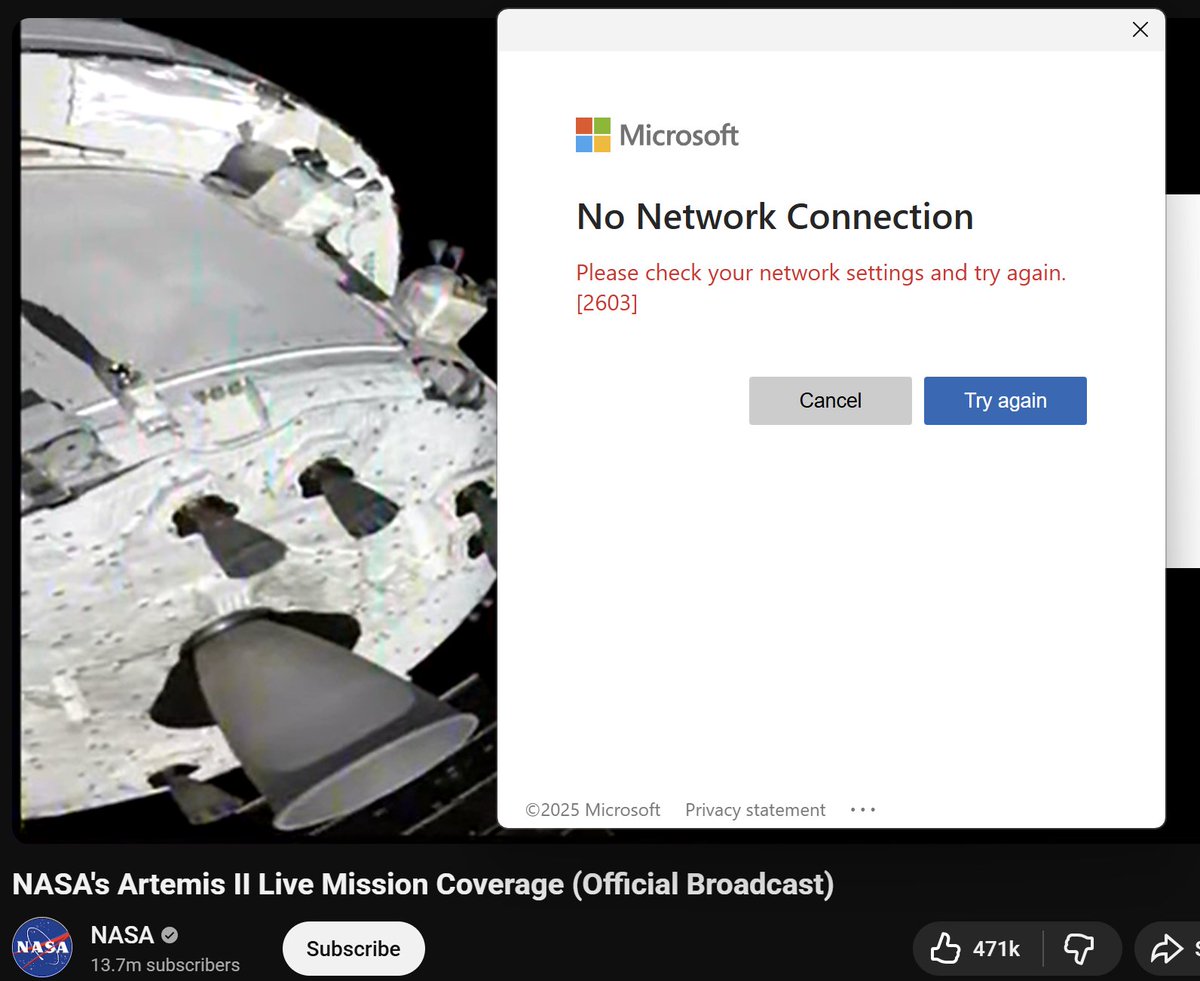
some pride flags colour picked from image of the moon captured by artemis ii 🫶🫶 (check in replies)


English
mari ⋆⁺₊❅ retweetou


mari ⋆⁺₊❅ retweetou

Buckle up – the upcoming April 12-22 weather pattern looks to favor a prolonged, long-duration and, at times, potent severe weather threat for much of the central U.S..
This may be one of the more active stretches of severe weather in recent memory. Above-average to hyperactive storminess is likely, with at least a handful of severe weather events expected during this period.
This will translate to an above-average risk of tornadoes, damaging winds and/or hail – coinciding with what's already the beginning of peak tornado season in the United States.
A persistent "trough," or jet stream dip, will become established in the western U.S. That will allow cool air to spill south over the Rockies while warmth builds across the eastern U.S. That clash in between will brew storms.
The jet stream will blow out of the southwest, leading to frequent "lee cyclogenesis," or the formation of surface lows (storm systems) in the lee of the Rockies... usually over Colorado or Kansas. This will help sharpen the dryline in western Texas – the boundary between dry desert air west and moisture-rich air to the east. That further induces a clash of the air masses that helps spawn severe thunderstorms.
As thunderstorms grow tall, meanwhile, they'll feel the jet stream – and changing winds with height. Some may rotate, leading to a tornado risk.
At this time range, we can offer a PROBABILISTIC approach – comparing relative likelihoods of storminess. That leads to moderate confidence in a busy or exceptionally busy period.
We cannot YET offer DETERMINISTIC forecasts – or predictions of specific day-to-day details. Those will become possible mid to late this week. Stay tuned as we iron out details.
For now, it looks like the central U.S., including the Plains and parts of the Midwest/Mid-South, are likely to see increased severe weather and heavy rain chances. Texas looks to be a focal point in particular.
Now is the time to begin reviewing your severe weather plan – how will you be notified of warnings? How much time do your loved ones need to seek shelter? Do you have a shelter identified? Clean the spiders out of the cellar, and talk through your plan with Meemaw and Pop-Pops. (You should be doing this every spring anyway).

English
mari ⋆⁺₊❅ retweetou


mari ⋆⁺₊❅ retweetou

breaking news!
if you're in the DFW area and within 40-minutes of Arlington you can play for the Texas Rangers starting tomorrow! all you need:
- the ability to swing and miss at every pitch you see
- the ability to hit .168 or lower
- absolutely zero chance to hit the ball
English
site is down for a lil cuz i forgot to pay for the domain #KILLINGMYSELF
English
mari ⋆⁺₊❅ retweetou


looked at this for the longest time thinking "oh ya the joke is cuz 14:00 actually means 2am" but then i realized thats the exact Opposite of the truth
codfish🧶@codfish246
how does a bus clock even get this inaccurate bro it's 2am 😭
English
mari ⋆⁺₊❅ retweetou

mari ⋆⁺₊❅ retweetou

mari ⋆⁺₊❅ retweetou

mari ⋆⁺₊❅ retweetou


mari ⋆⁺₊❅ retweetou