Закреплённый твит

If you are in GIS and haven’t tried Equator yet, you’re missing out.
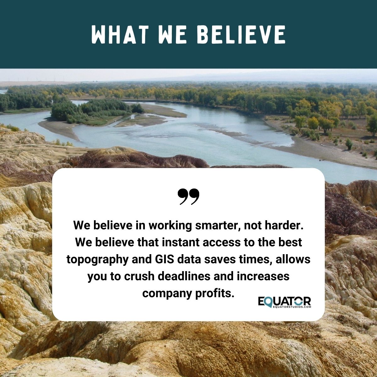
Thousands of people use Equator every day to get the data they need for their projects. It’s the one-stop-shop for sourcing high-quality data.
In this thread you’ll learn what you can do in Equator🧵

English