Coming in August: A NEW Hall of Excellence - a display in the 100 Level RF Concourse.
The newest inductee to the Hall: The one and only Buck Martinez 💙
"I'm not taking the chance... I'm only starting him if I'm not trading him."
@DavidPSamson shares his thoughts on the #BlueJays' decision to start Yusei Kikuchi tonight despite trade rumours with @SNJeffBlair & Kevin Barker. #TOTHECORE
LIVE ⤵️
📺 watch.sportsnet.ca
Time to keep on moving forward. A reminder of what’s at stake. 👇 //
Il est temps de continuer à avancer. Un rappel de ce qui est en jeu. 👇
#CANMNT#NoFearAllFight#SansPeurAvecCourage
Munenori Kawasaki recently visited the Canadian embassy and implied he may want to work in TV at some point in Canada 👀
Imagine this guy calling #BlueJays games 😂
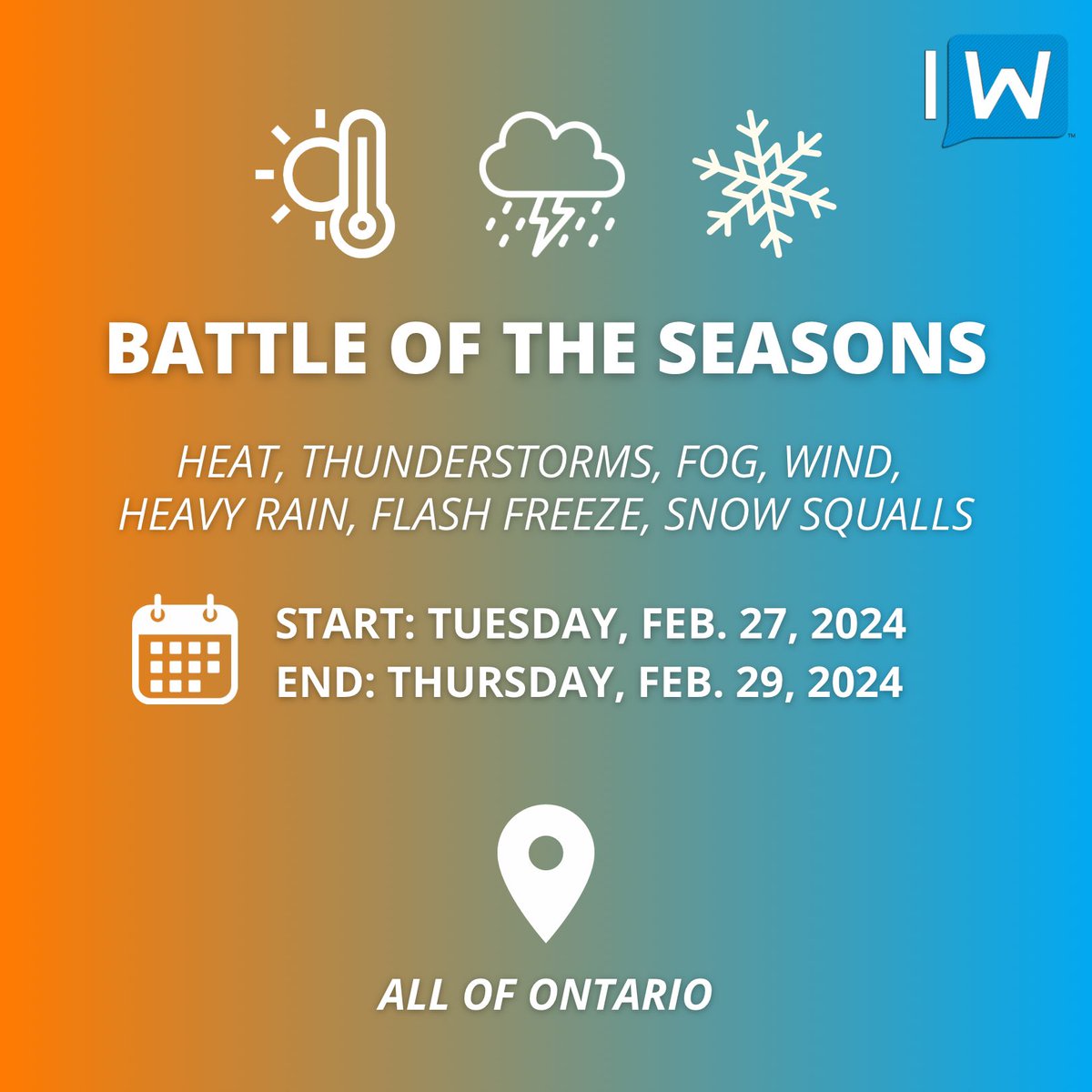
#ONStorm#ONwx Get ready for a wild weather ride, Ontario! The old saying will hold true this week: "If you don't like the weather in Ontario, just wait five minutes—it'll change!" And change it will, with a full spectrum of seasons unfurling over the next 48 hours.
As we previously hinted, a ‘heatwave’ is set to roll in for Tuesday and Wednesday, with temperatures climbing into the teens. Parts of Deep Southwestern Ontario are even teasing the 20°C mark, according to some models!
Thunderstorms are on the agenda for Tuesday, starting with morning storms and a potential severe risk by the afternoon and evening.
Fog, a recurring theme this season, is slated to make a comeback in certain areas on Tuesday and Wednesday. This will be accompanied by heavy rain, dumping 15-30mm by Wednesday morning. For parts of Northern Ontario, we could be looking at significant snowfall totals as the cold air hangs on there. This includes Kenora, Dryden, Kapuskasing, Cochrane and Timmins.
But don't pack away your winter gear just yet!
Remember, it's still February, despite what the balmy temperatures might suggest. Winter is gearing up for a comeback by Wednesday morning and afternoon. A sharp cold front will sweep through the province, one of the steepest we've seen in quite some time, with temperatures plummeting from the teens to below freezing in just a few hours.
Given the expected rain and mixed precipitation during this cooldown, we're likely to see road conditions turn treacherous with ice on Wednesday. A tricky commute is on the cards for Wednesday afternoon, and we can't dismiss the potential for school bus cancellations if the flash freeze risk materializes as the models predict.
From late Wednesday into Thursday, snow squalls are expected to revisit the usual snowbelt regions, with wind chills plunging to near -20°C—a stark contrast to Tuesday's near-record warmth.
And the temperature roller coaster doesn't stop there. As we look towards the weekend and into early next week, another significant warm-up is on the horizon. Because these rapid temperature fluctuations are definitely healthy for our ecosystem! 🫠
We're putting together a detailed forecast, complete with several maps to navigate this complex weather pattern. It's a bit of a task, so bear with us as we compile all the necessary information. Stay tuned!
- Brennen