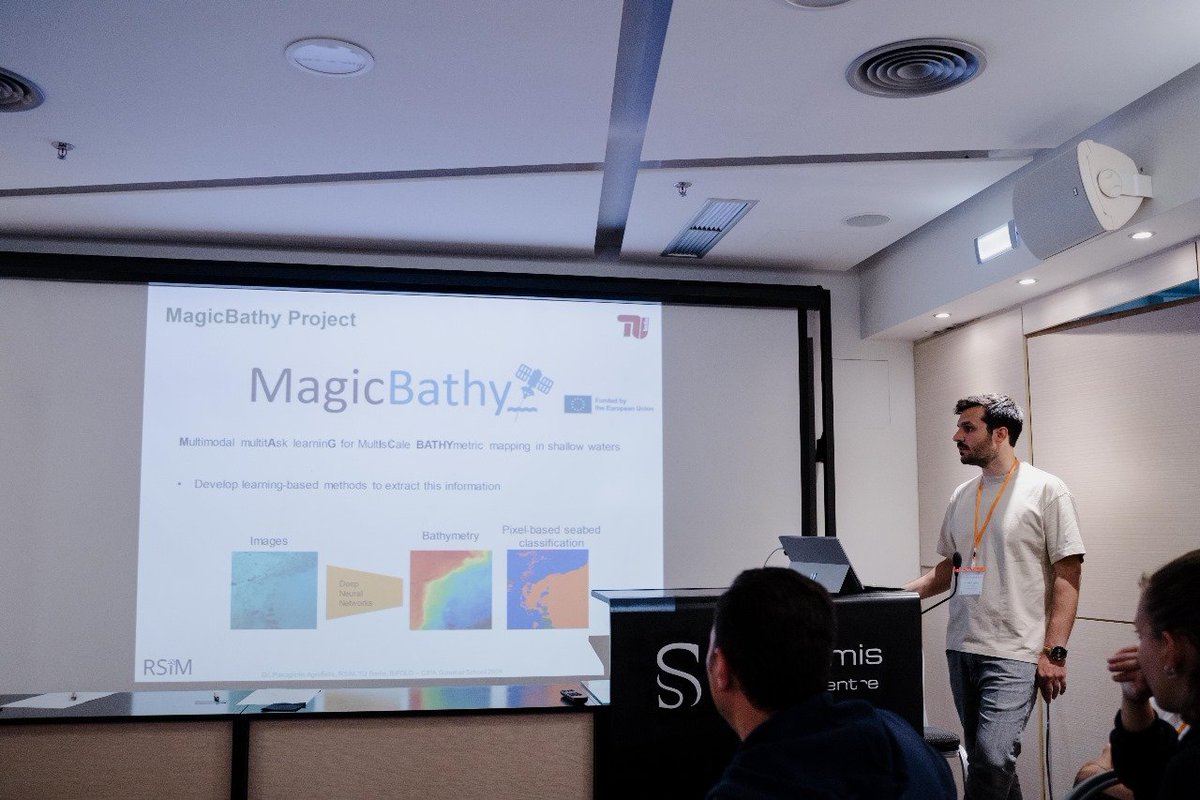
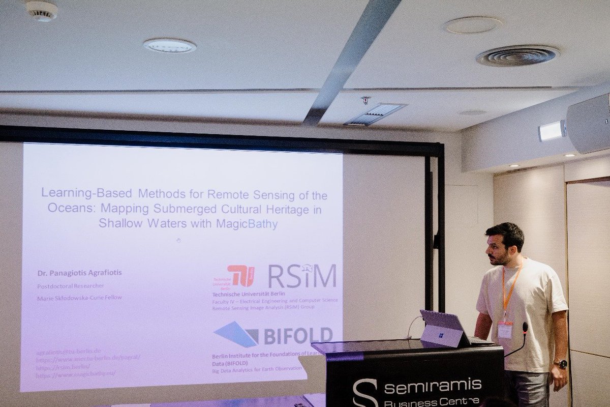
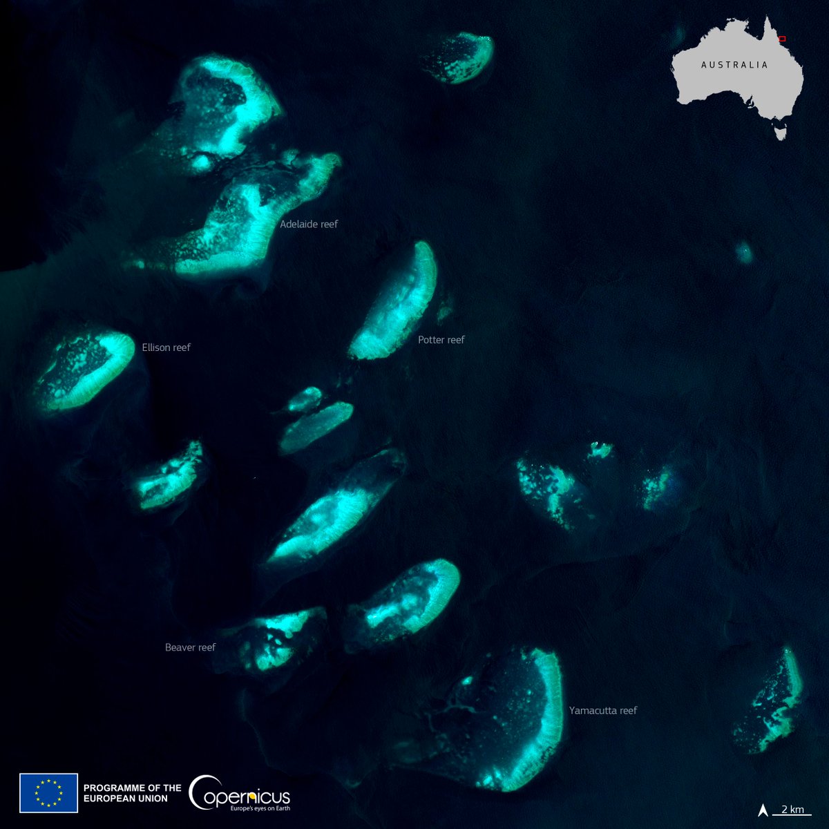
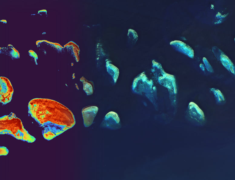
MagicBathy EU Project 🛰🌍🌊✨
32 posts

MagicBathy EU Project 🛰🌍🌊✨
@MagicBathy
@MagicBathy is funded under @HorizonEU PFs @MSCActions GA101063294 for #AI based #ocean #mapping. Related tweets reflect only the views of the project owner.


🌊🌍🛰️✨ Super excited to share our latest paper “Seabed-Net: A multi-task network for joint bathymetry estimation and seabed classification from remote sensing imagery in shallow waters” published in ISPRS Journal of Photogrammetry & Remote Sensing! sciencedirect.com/science/articl…


🌊🌍🛰️✨Excited to share our new paper, “Deep learning-based #bathymetry retrieval without in-situ depths using remote sensing imagery and #SfM-#MVS DSMs with data gaps,” in ISPRS Journal of #Photogrammetry & #Remote #Sensing! 📄 Paper: lnkd.in/eAuw4c47


🌊 Introducing #MagicBathyNet — the first public dataset for bathymetric & semantic mapping using air/satellite images 🌍 Developed by Dr. Panagiotis Agrafiotis 🔹Cost-effective 🔹Frequent & consistent mapping Link: bifold.berlin/news-events/ne… #SeabedMapping #AIForGood #EO

On the northern coast of Poland lies the Hel Peninsula, a 35-kilometre-long sand bar extending into the Baltic Sea, which is visible in this Copernicus Sentinel-2 image acquired on 14 May 2024. Read more: copernicus.eu/en/media/image…


Join our Live Talk: “SMART SKY: TRANSFORMING EARTH OBSERVATION THROUGH AI”. March 19, 2024. Zeiss-Großplanetarium. Speakers: Anna Green (Stiftung Planetarium Berlin), Manil Maskey (NASA), Panagiotis Agrafiotis (TU Berlin/BIFOLD). planetarium.berlin/en/events/smar…


Join us for the "EMODnet for Horizon Europe and EU Mission: Restore our Ocean and Waters projects" webinar, where we will focus on streamlining data submission, guiding data collection, optimizing data flow to EMODnet! Email secretariat@emodnet.eu for registration details.