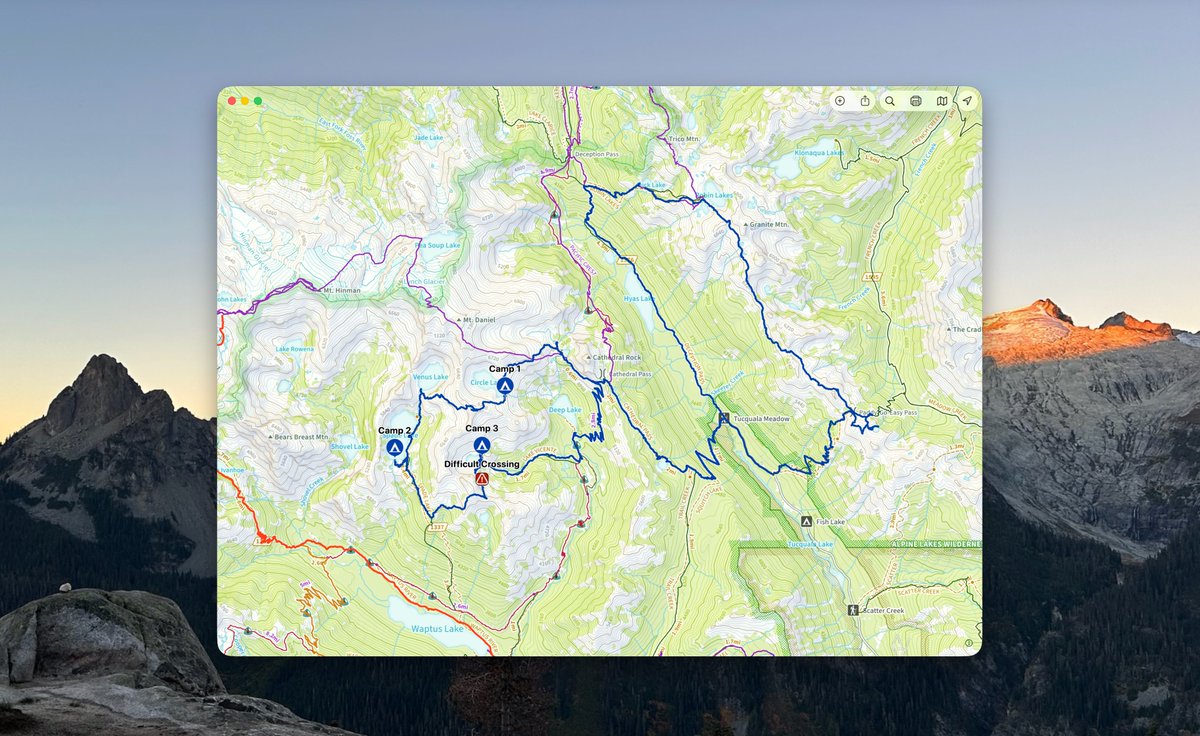
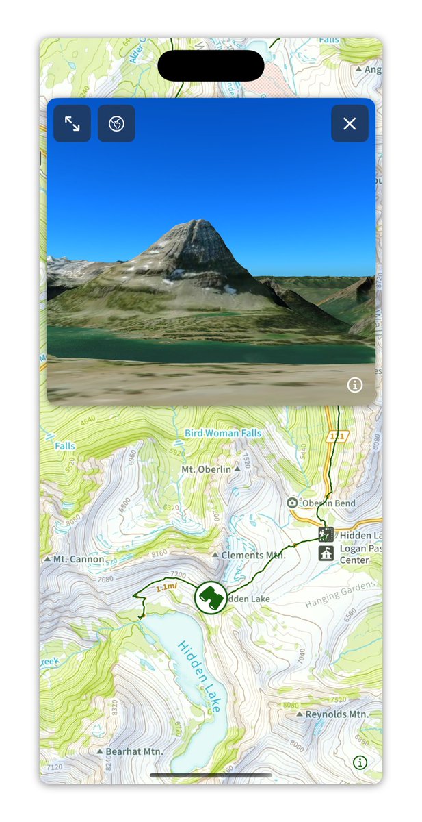
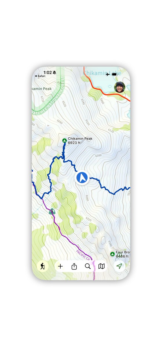
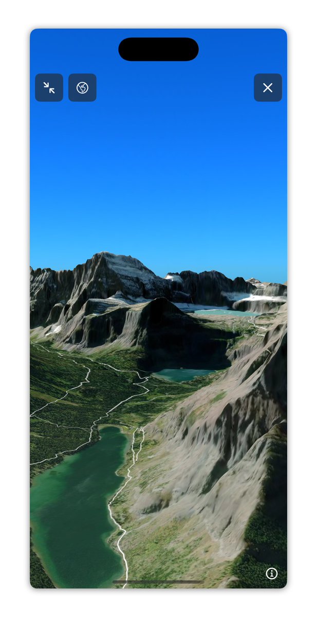
The 3D maps in @TopoMaps are different from most other 3D maps. The interaction is optimized for exploring possible routes in the mountains. You can see what you are looking at on the main map.
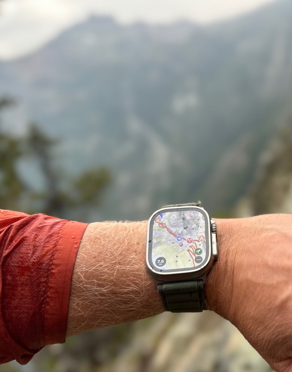
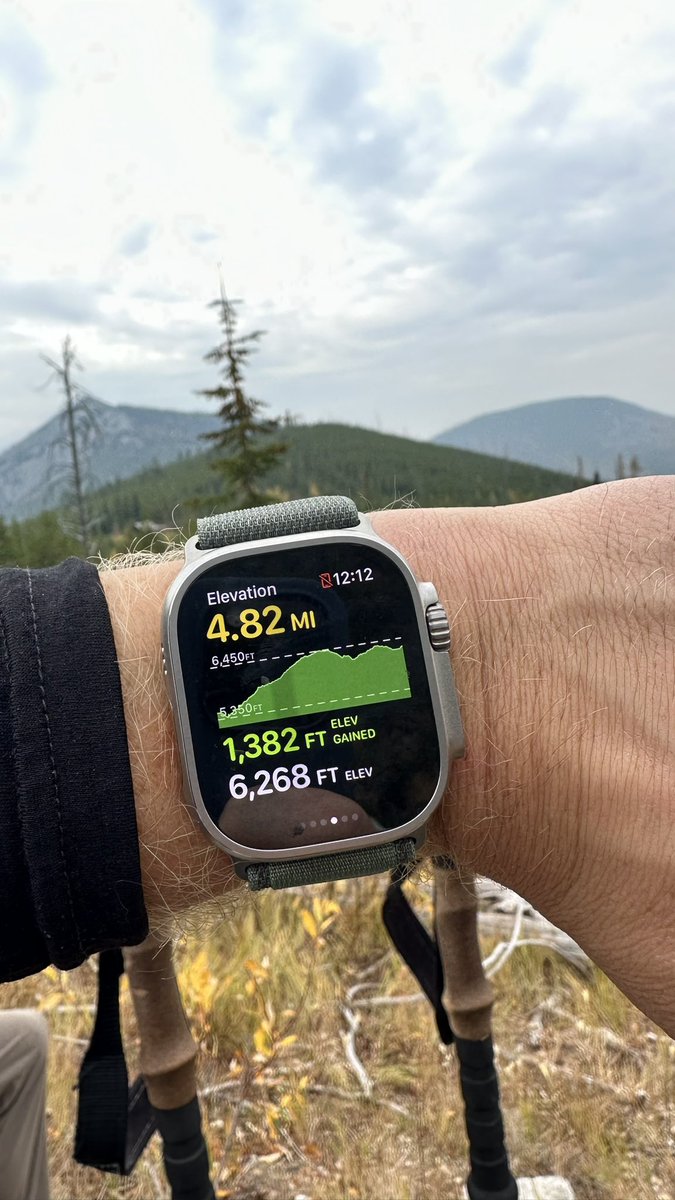
I can't believe how little I have used my iPhone for navigation this summer. I have almost exclusively used my Apple Watch. (I also haven't done any off trail or high alpine routes this summer).
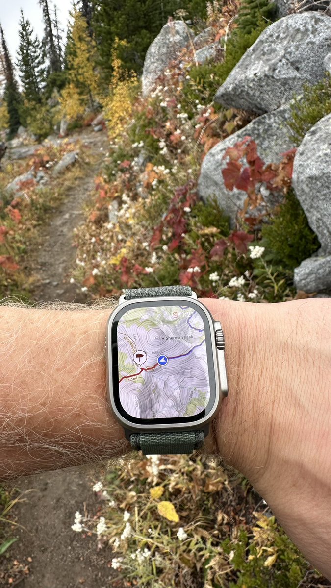
My goal is to create a @TopoMaps Apple Watch app that's so good I would want to use it instead of pulling out my phone. Step 1 is to recreate the Map view which I just finished today. (Pan, zoom, location, heading, data from iPhone). 🎉
I tested the new @TopoMaps Apple Watch app on an Ultra yesterday on the Kettle Crest. It was amazing to navigate with just my watch. Can’t wait to get the app finished and launched! I haven’t found anything like this for backcountry navigation on an Apple Watch.