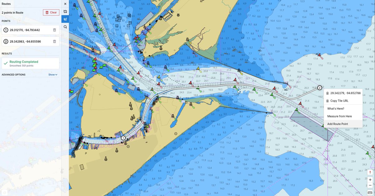
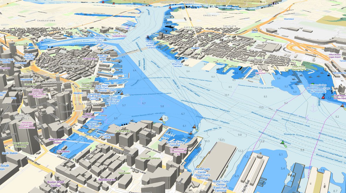
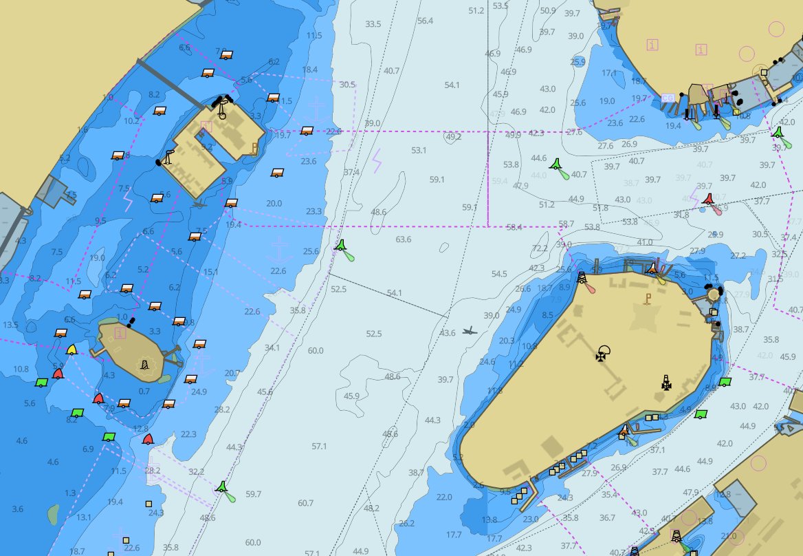
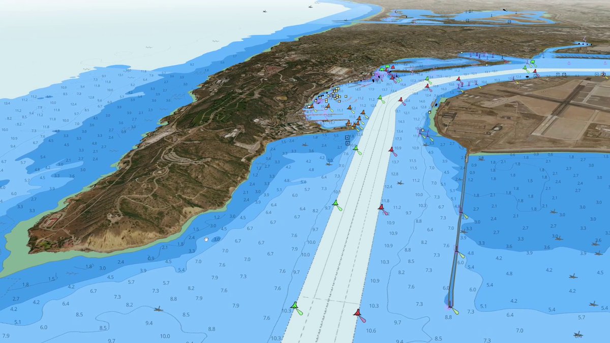
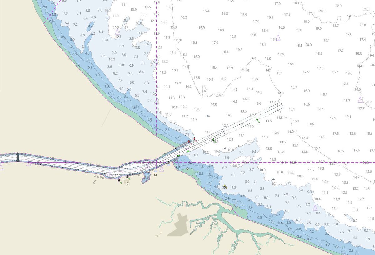
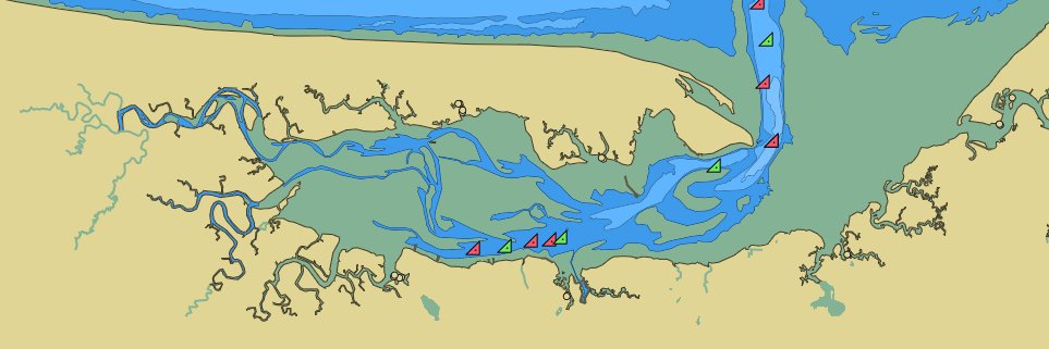
Vector Charts by Zydro
37 posts

Vector Charts by Zydro
@vectorcharts
the Nautical Chart API for web apps & maritime robotics. Add beautiful, informative vector nautical charts to your maritime product. Built by @zydromarine
Boston شامل ہوئے Nisan 2025
11 فالونگ254 فالوورز

We had a busy 2025 releasing the Vector Charts API, helping leading USV & AUV companies integrate our product, and hanging out on boats.
What's next? More data, better chart-informed path planning, and integration into @zydromarine's larger ecosystem for C2 & autonomy.


English

Who builds Vector Charts? @zydromarine!
Zydro builds foundational building blocks for trusted autonomy at sea, from maritime geospatial data to autonomy & mission planning.
More news coming soon from Zydro...

English

We just dropped a new API for our business customers: the Shoreline API provides a dead-simple method for obtaining a land/water shoreline mask based on ENC data.
Read more at docs.vectorcharts.com/api-reference/…
English

Vector Charts isn’t just for integration into new products. You can also drop it directly into tools you already use!
For example, here’s how you can add our charts as a background layer in #QGroundControl, for use mission planning with #ardupilot USVs:
youtu.be/g7G6jCj2R4I?si…

YouTube
English

Next on our list of compatible libraries: MapLibre GL JS. Born as a fork of Mapbox, MapLibre has the same capability to render Vector Tiles with WebGL!
youtu.be/3rvfKZ6n14E

YouTube
English

First on our list of tutorials; here's how to add nautical charts into Mapbox GL JS.
youtu.be/EY5CaVYNB2c

YouTube
English

Our vector tiles are supported by many modern map libraries including Mapbox GL JS, MapLibre, and OpenLayers.
For older libraries that only support raster imagery, we also serve raster tiles.
We're publishing examples for many libraries here: github.com/vector-charts/…
English

(2/2)
To start, sign in to the dashboard at cloud.vectorcharts.com, visit the Charts page, and click Request New Region.
If you don't already have an account, getting started is easy! Get Nautical Charts in your web map in 5 minutes or less at cloud.vectorcharts.com/start-register.
English


