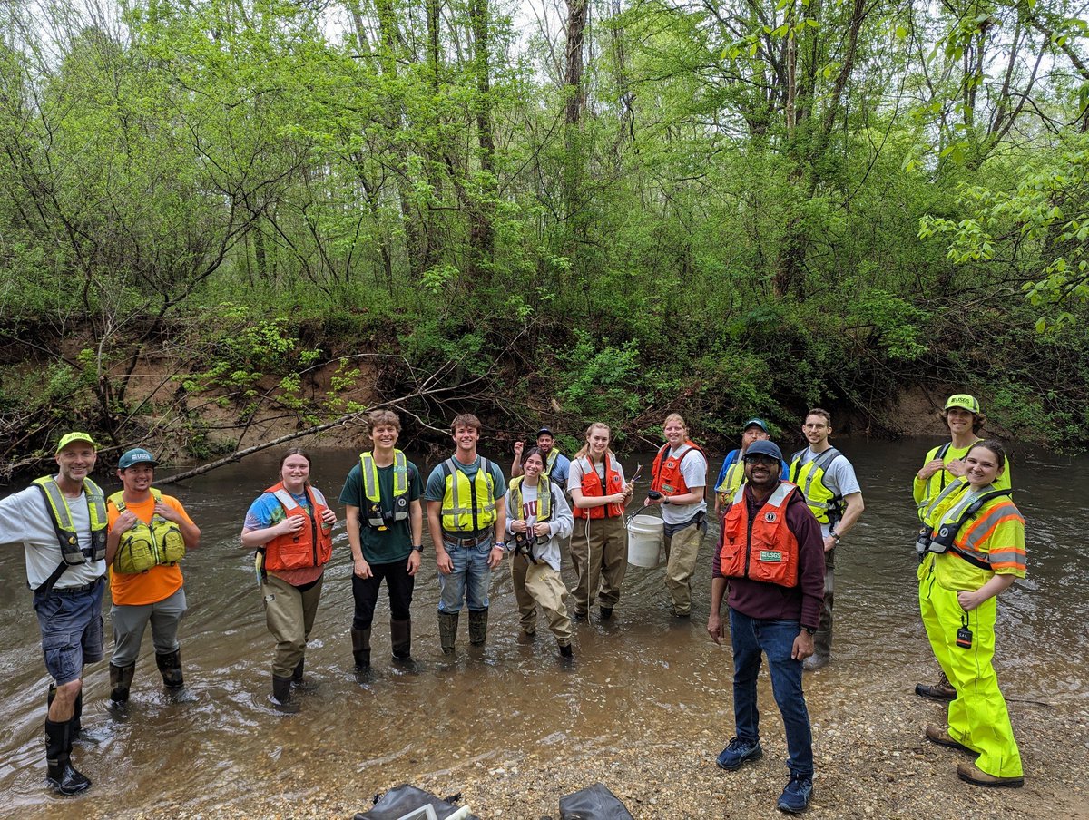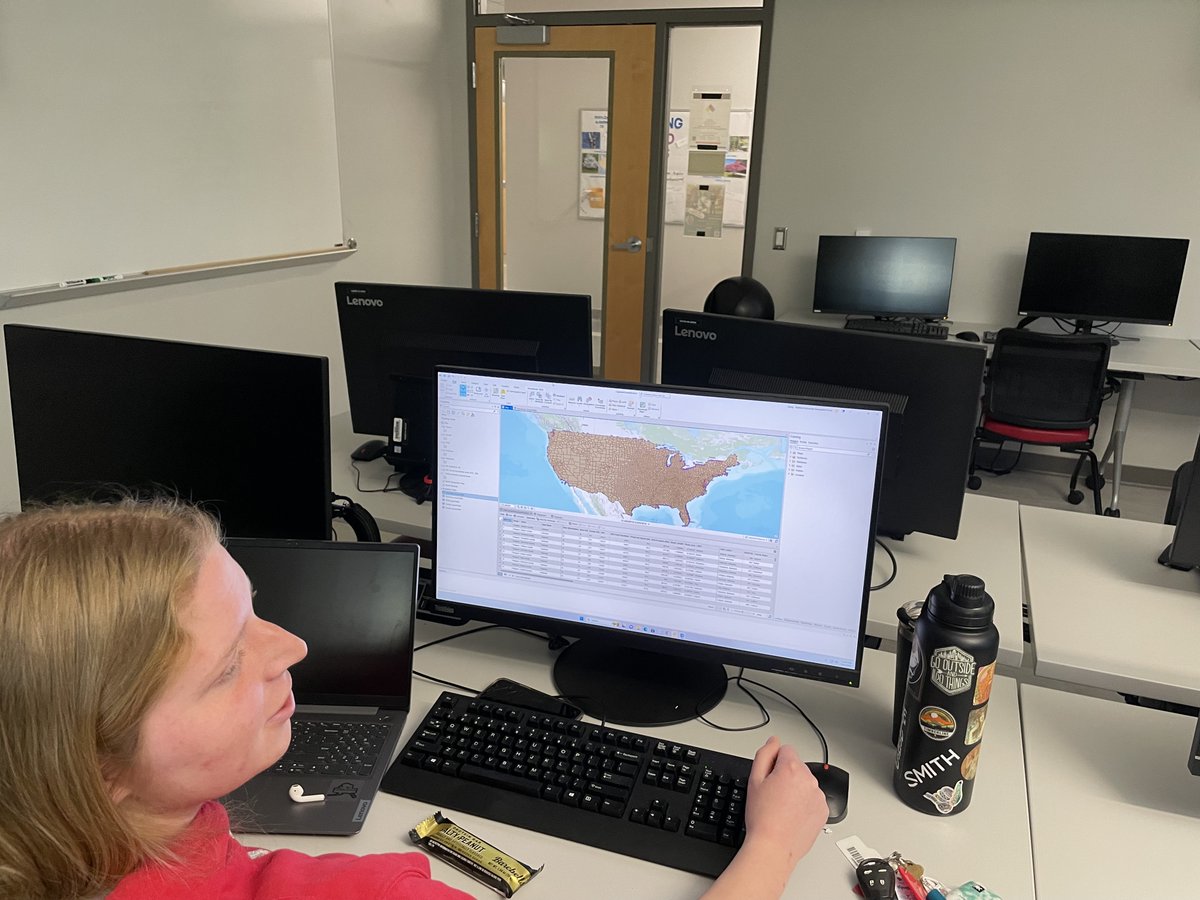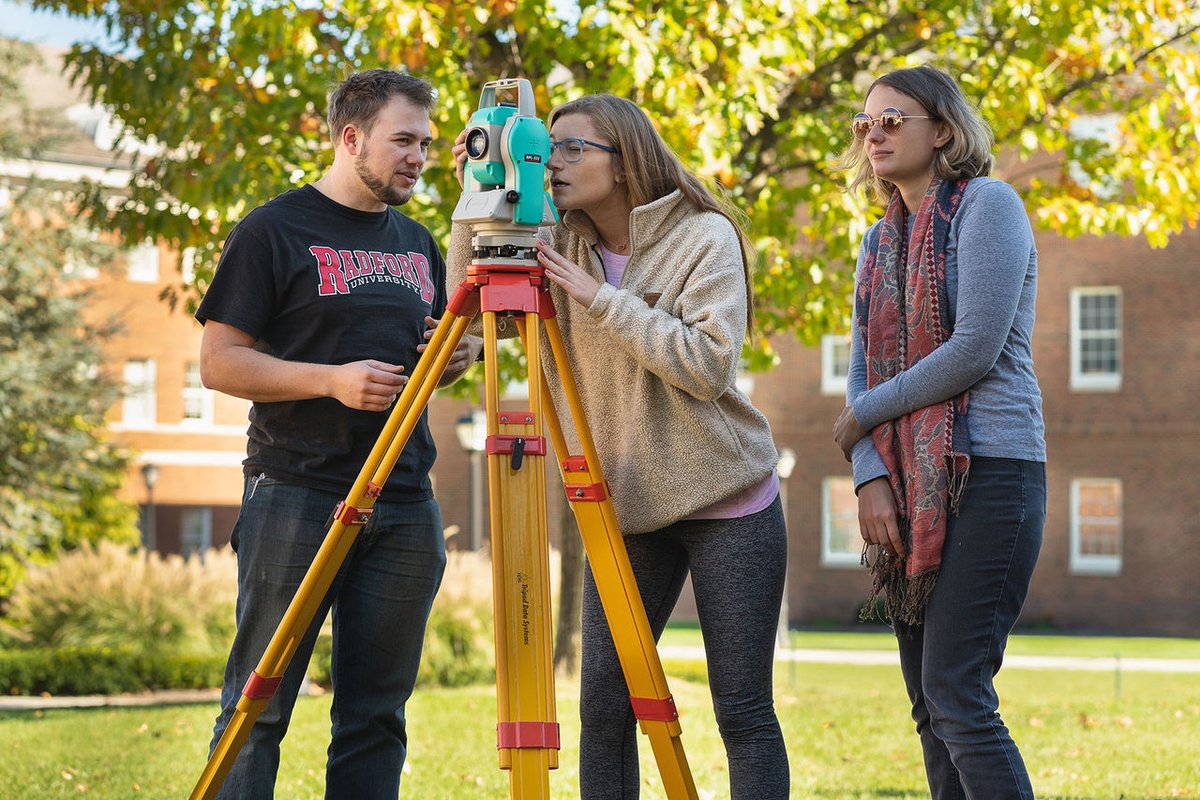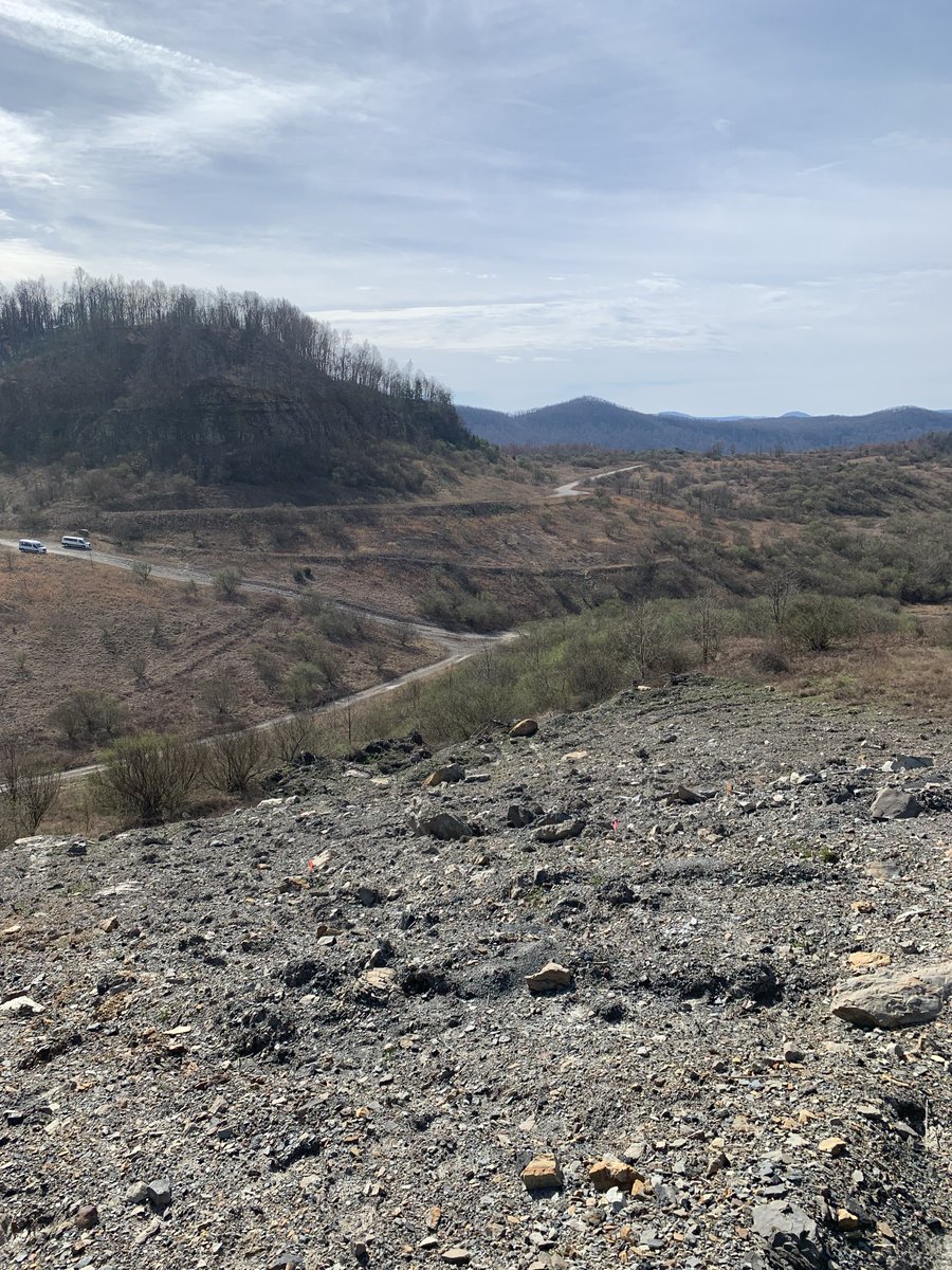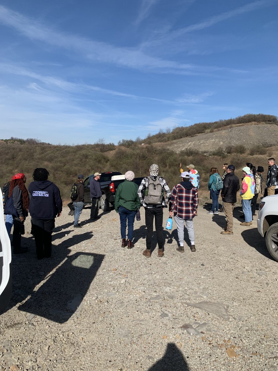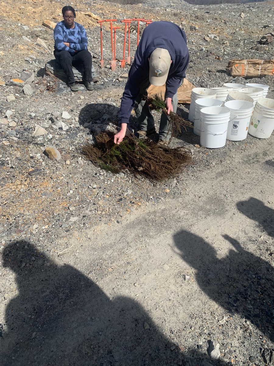
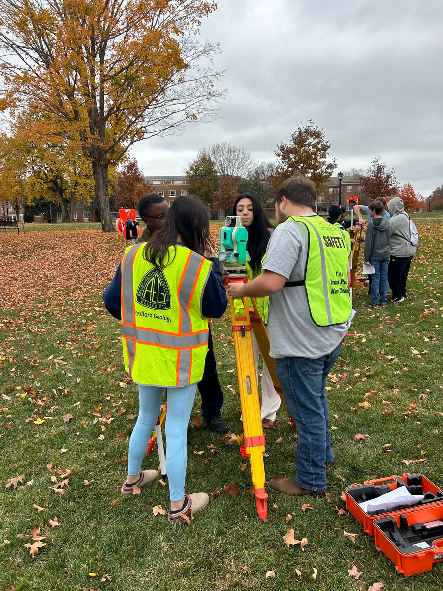
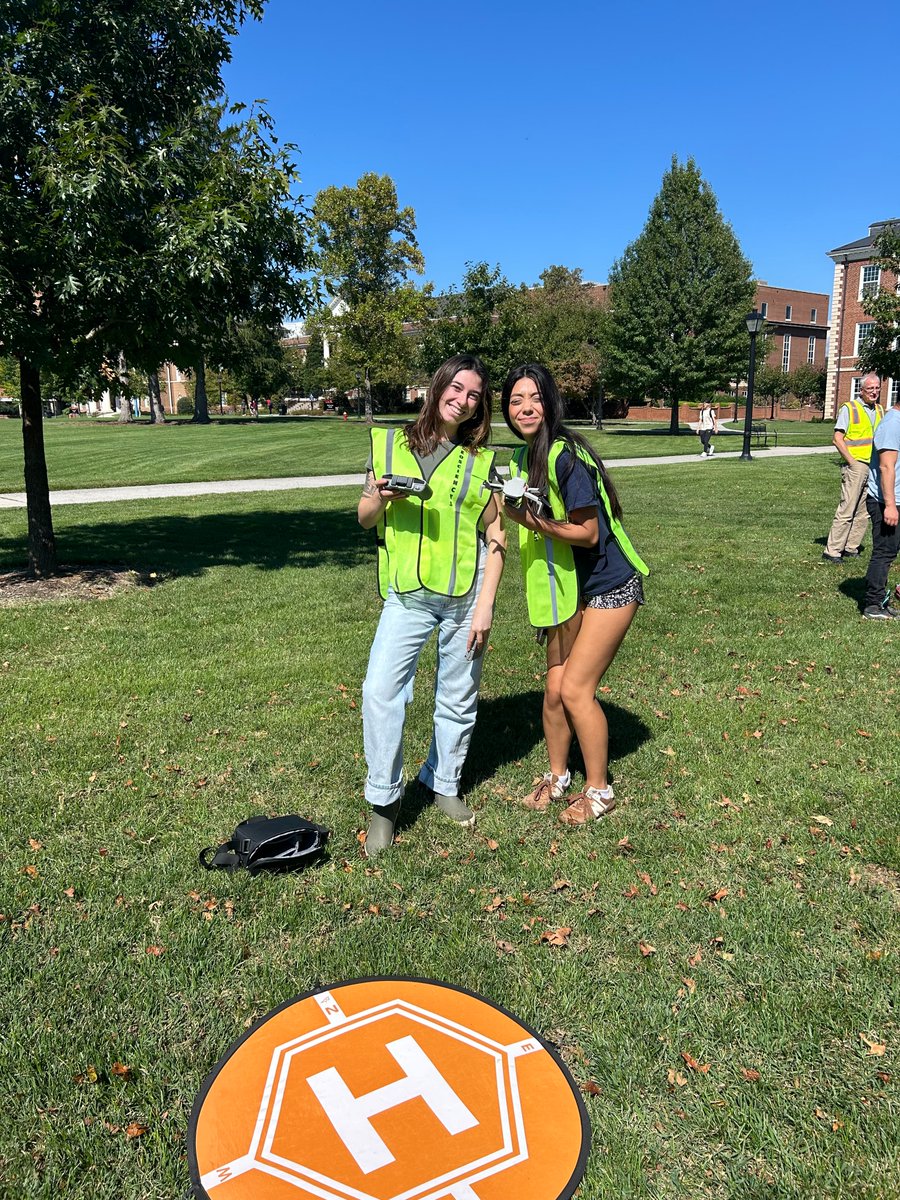
Throughout the semester, Field Research Methods (GEOS 490) has been using various data collection techniques such as drones and total stations!
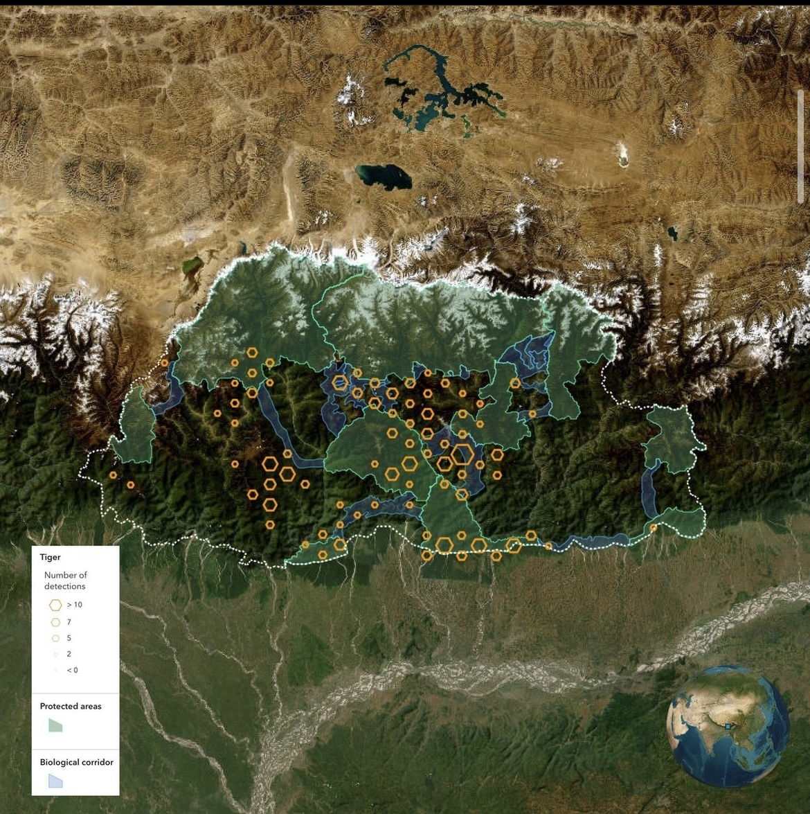
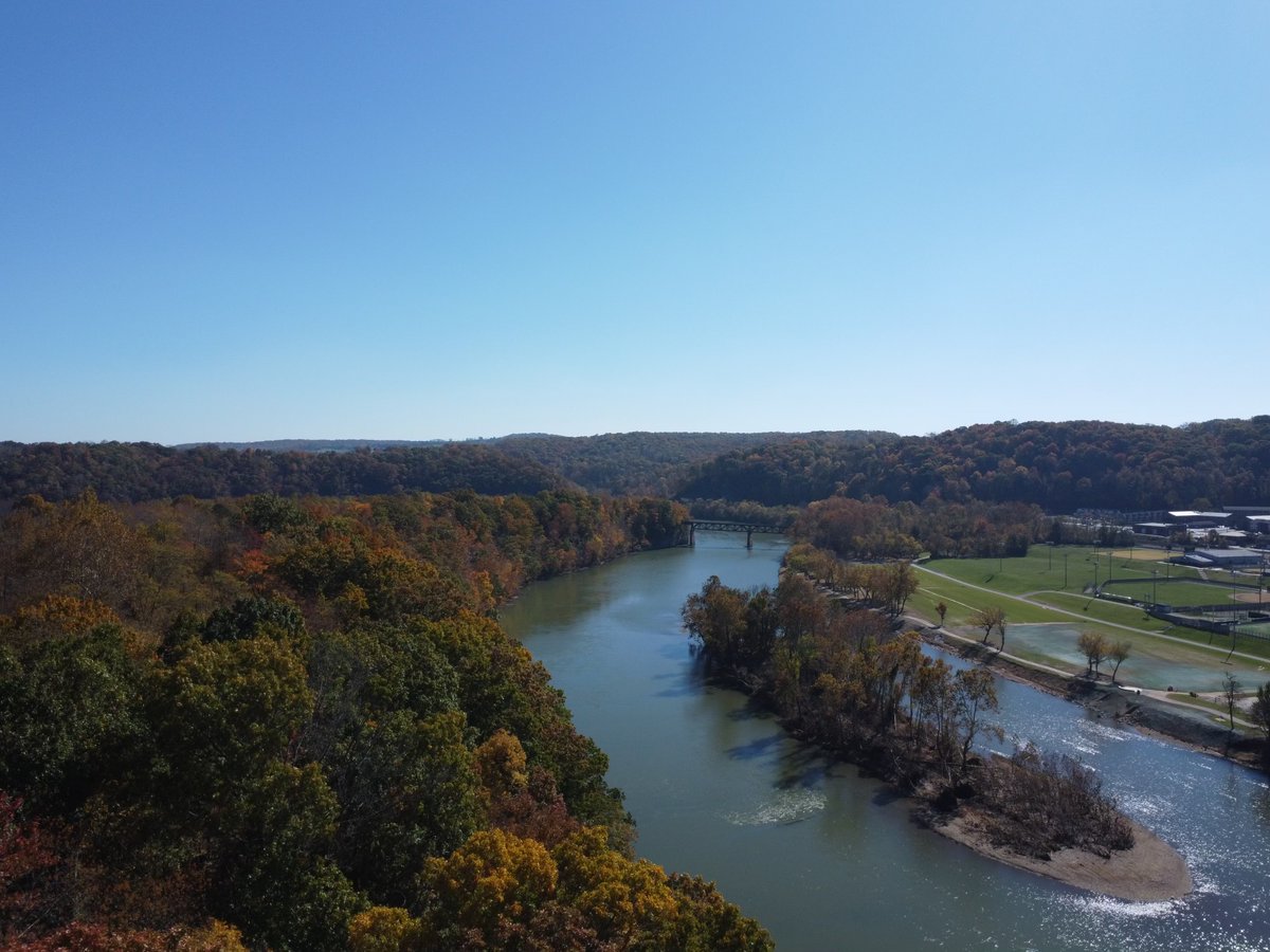
The last image was taken with a drone over the New River. 🌎
English
RUGeospatial
995 posts
@RUGeospatial
Dept of Geospatial Science at Radford University