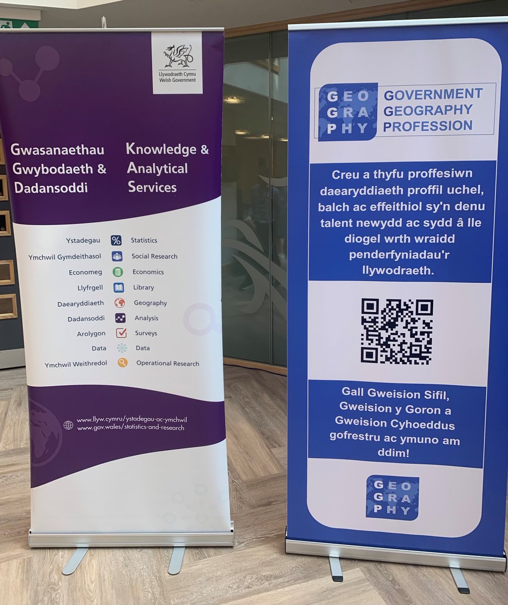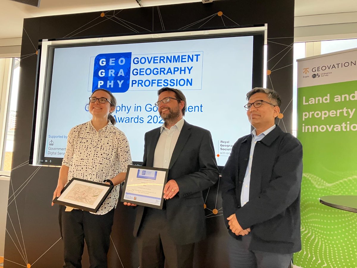
An inspiring day at the Knowledge and Analytical Services conference on Wednesday, bringing together our analytical community to spark ideas, share insights, and build partnerships. Collaboration is key to better outcomes!

English
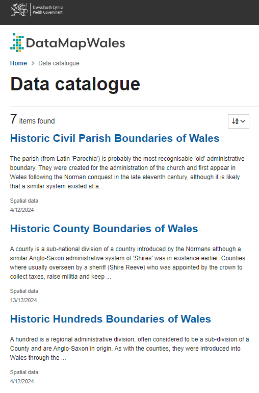
Map Data Cymru
142 posts

@MapDataCymru
Y ffynhonnell ddata geo-ofodol ar gyfer data'r sector cyhoeddus yng Nghymru / The geo-spatial data source for public sector data in Wales.