تغريدة مثبتة
We are always looking for new ways to narrate what we do at #MapAction. Our latest effort is this 145-second animation. #VIDEO: tinyurl.com/y46zm4st
English
MapAction
5K posts
@mapaction
International disaster mapping charity working to ensure humanitarian responders have access to the maps & data they need to save lives & relieve suffering.
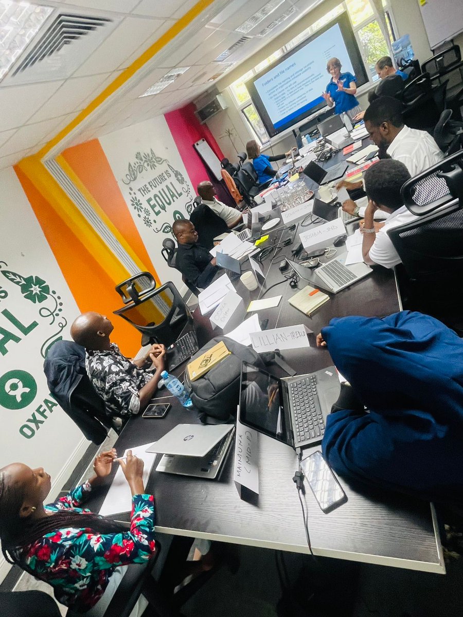
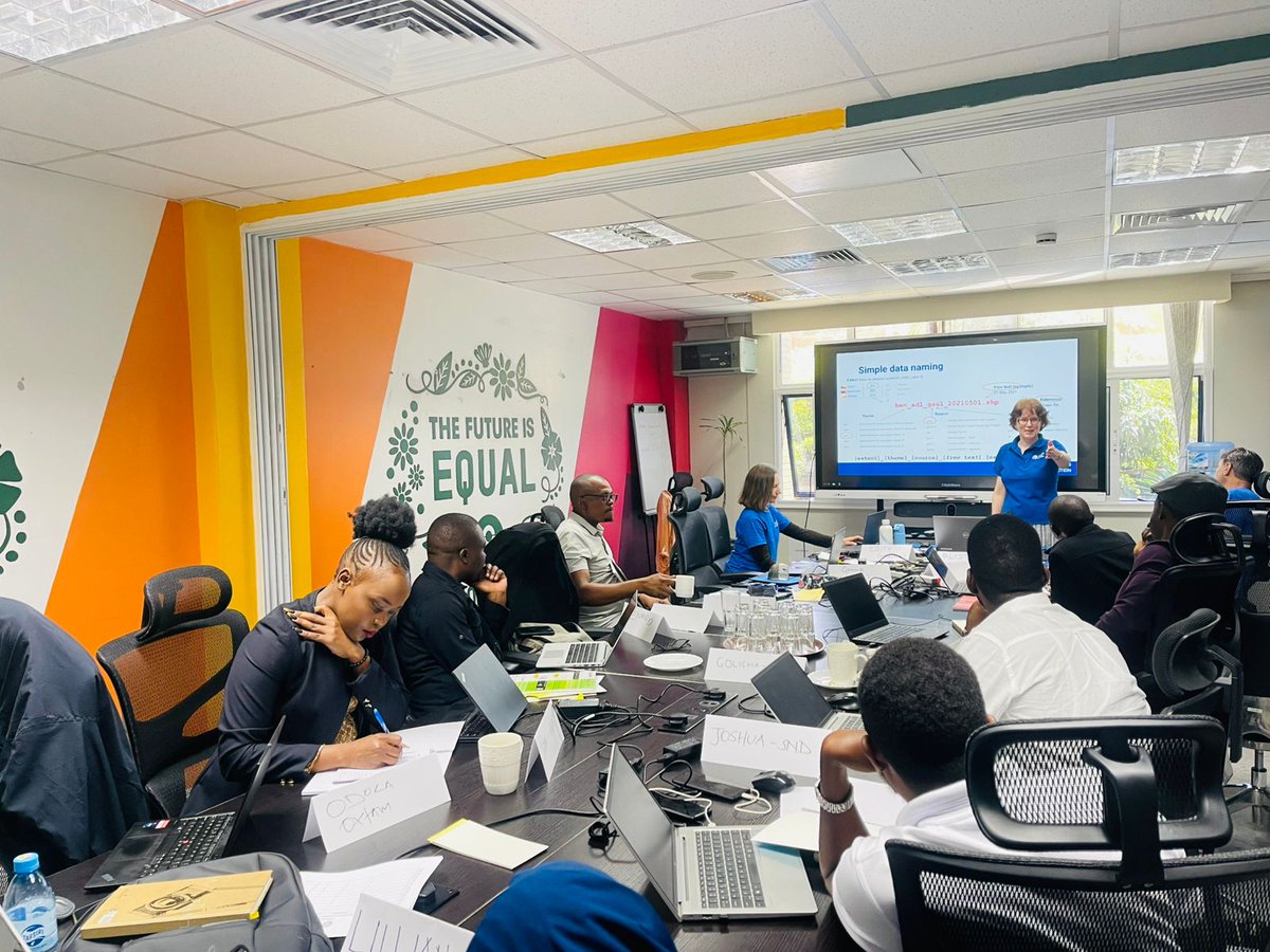
@KenyaAsal & @oxfamkenya has kicked off data and GIS training supported by @mapaction with the hope to strengthen data collection, analysis and mapping, with a goal of improving coordination, evidence-based decision-making, and timely humanitarian response across ASAL regions.


Glad to join the #INFORM SADC Rollout Workshop in Johannesburg 🇿🇦! With @SADC_News, @giz_gmbh Resilience Initiative Africa & @mapaction, we’re co-creating a regional risk model to transform how disaster data informs resilience, development & peacebuilding decisions.