Seasonal weight and speed restrictions will be lifted Monday, March 30 at 6 a.m. by KCRC and other road agencies: bit.ly/4spsHaM

English
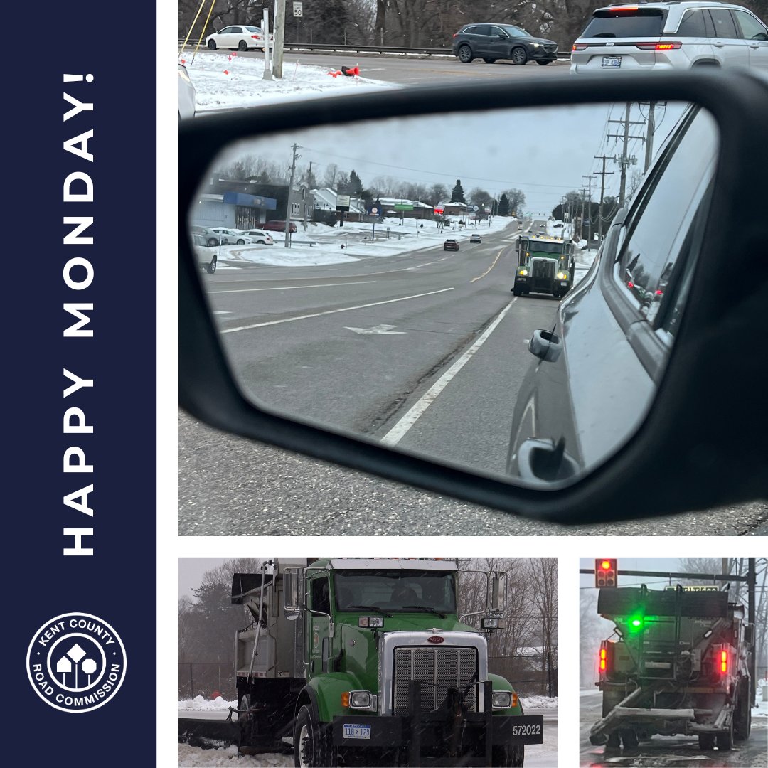
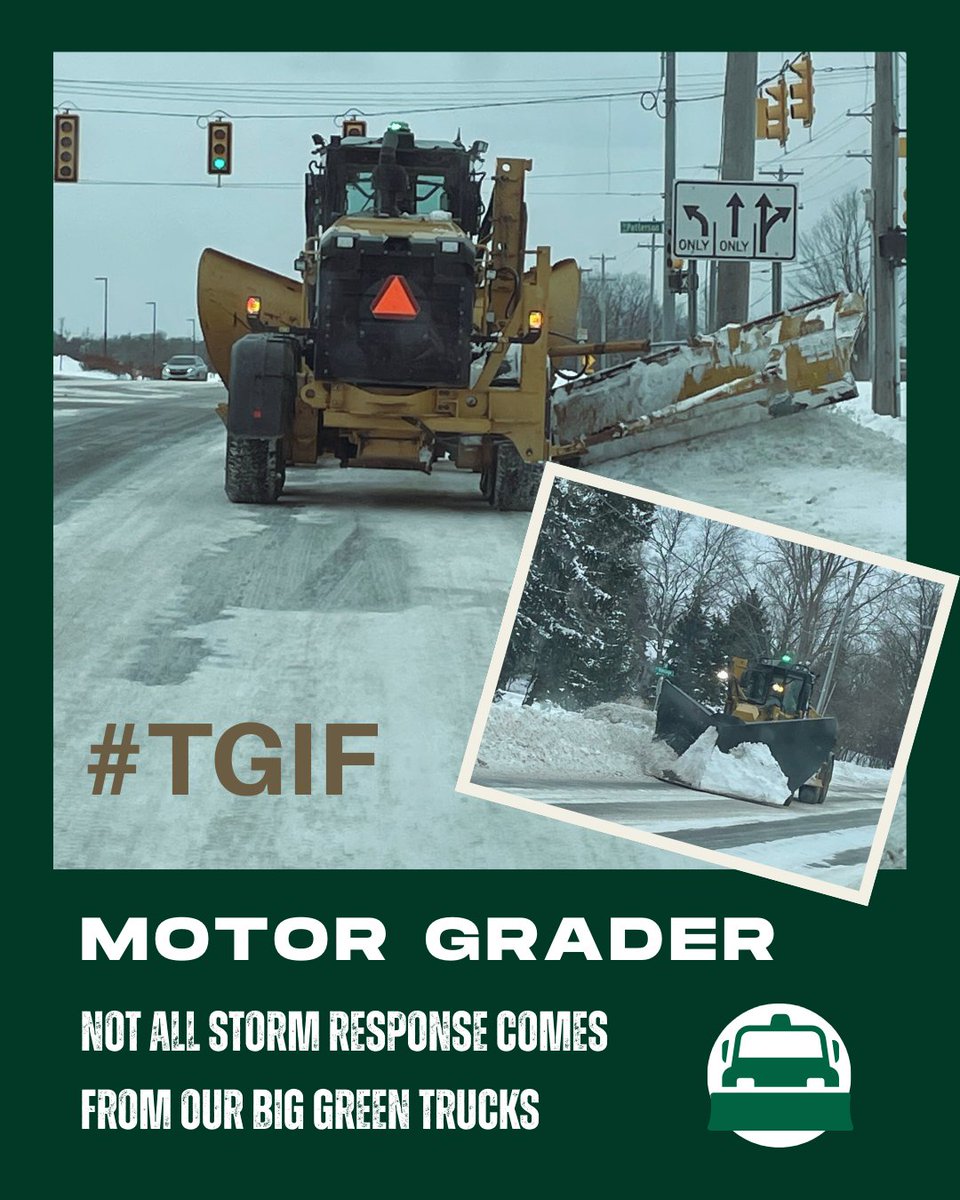
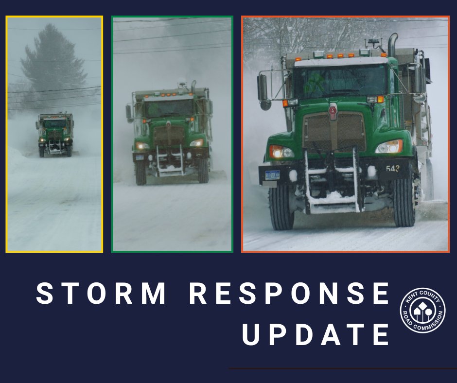
Kent County Road Commission
2.6K posts
@MIKCRC
Keeping Kent County Moving Since 1911
Patchy freezing rain is possible overnight through Thursday morning. Temperatures will be marginal but if they drop to, or below, freezing then there is the potential for icing. The best chances for icing will be on bridges and overpasses. Roads may be slick so use caution
Wind gusts of 50-60 mph are likely from Thursday Night through Friday Evening. Scattered power outages are likely as tree limbs are downed, and unsecured objects may be blown around. Secure outdoor items and use caution when driving.
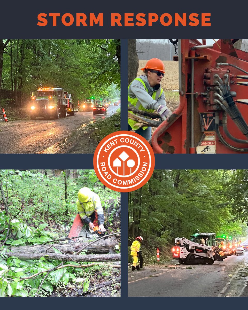
There is a risk for severe storms tonight. Damaging winds, large hail, tornadoes & minor flooding will all be possible. The highest risk for tornadoes is along & south of I-94. Make sure you have a way to receive warnings that can wake you up along with a shelter plan. #miwx
Several rounds of storms expected tomorrow into early Saturday. Some of those storms could be strong to severe. One round Friday afternoon and evening, another overnight into Saturday. Damaging winds, and hail are the main threats though a few brief, weak tornadoes are possible.
UPDATE... Caledonia- Daily (9am-3pm) lane closures for tree work & utility relocation 9am this Monday through March 23 on M-37 (Broadmoor Ave) between 84th St & Kraft Ave. Daily lane closures also in effect on 84th St & Cherry Valley Ave. MiDrive- mdotjboss.state.mi.us/MiDrive/map?co…


@MIKCRC Thank you so much for the sunshine. That’s the dance we ALL wanted

The morning commute is significantly impacted by snow and blowing snow, especially for Kent, Allegan, and Barry counties. Make sure to give yourself extra time to drive to your destination if you have to drive. #wmiwx