Angehefteter Tweet

10,9,8... And we are LIVE‼️
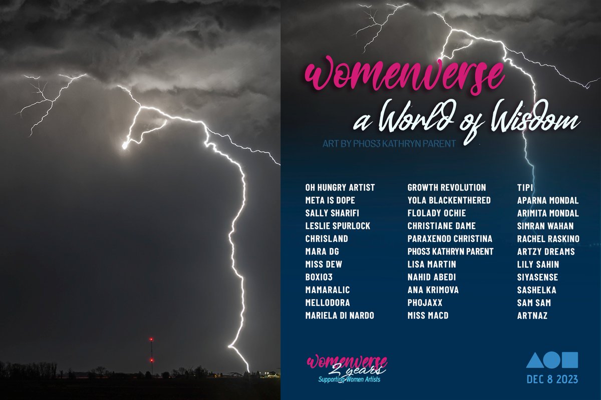
Title piece - You Do You
Proverb - March To The Beat Of One's Own Drum
- Henry David Thoreau.
World of Women
by
@WOMENverse101
on
@foundation
beautifully curated World by
@CoinSeer
and
@marieladinardo
@Phos3_Images/phos3lve/2" target="_blank" rel="nofollow noopener">foundation.app/@Phos3_Images/…
🧵
English