Tweet fijado
In case you missed it last night check out this incredible reporting by @NewsHour @HolmesRyanC @TheStephSy and @devinpinckard about the environmental crisis taking place at The Great Salt Lake. pbs.org/newshour/show/…
English
EarthViews Conservation Society
1.2K posts
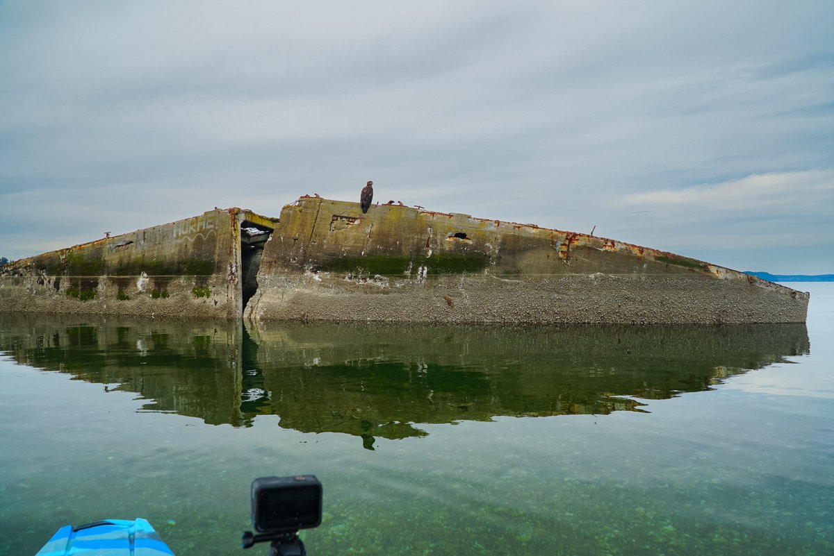
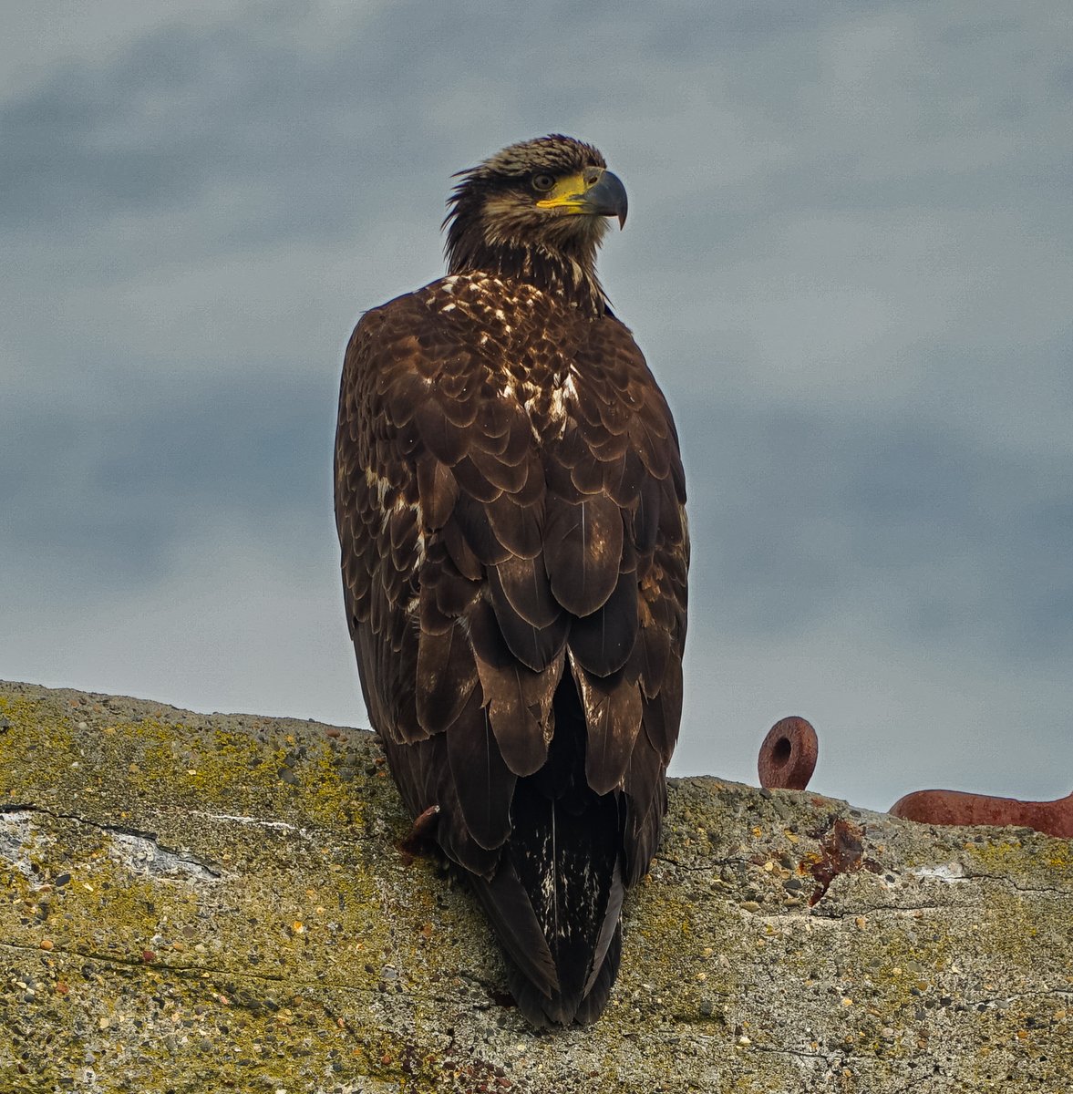
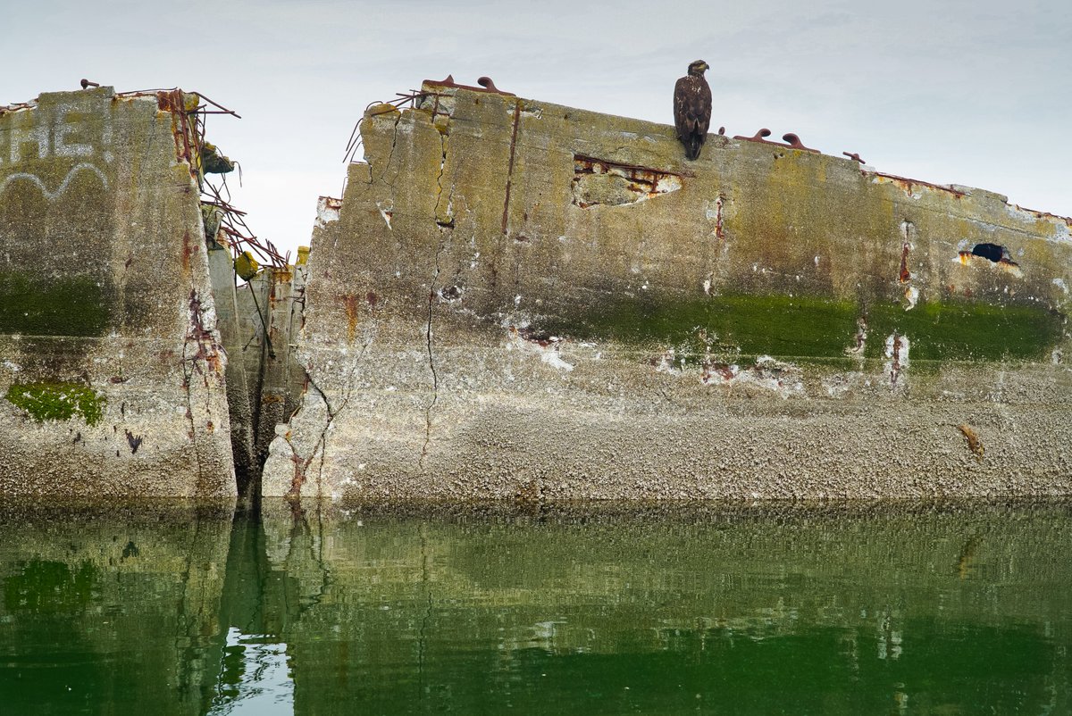
@EarthViews360
Documenting endangered waterways with imagery and data.


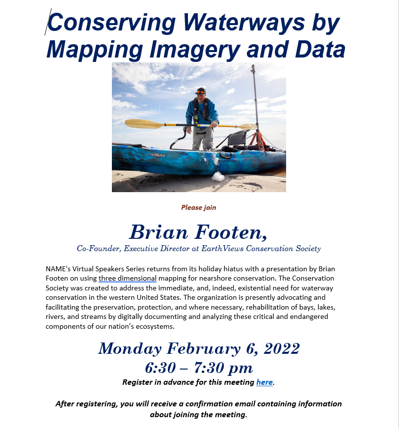
Don't miss our next NAME Virtual Speaker Series on Monday, May 1 at 6:30 pm PT: 3D Mapping of Puget Sound Shoreline with Brian Footen, Researcher with @EarthViews360 Register in advance at pacname.org/virtual-speake…
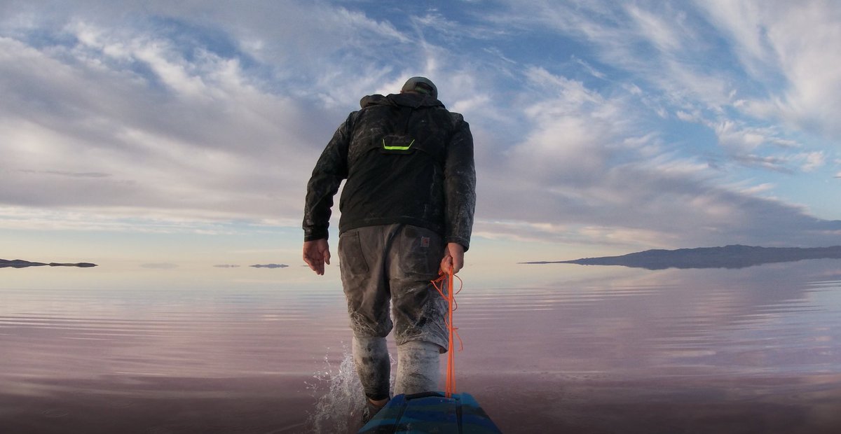
Last November, when Great Salt Lake reached her lowest point on record, the artist Fazal Sheikh and the writer Terry Tempest Williams set out to see what might be revealed. The dry lake bed, now exposed to the wind, is laden with toxic elements. nyti.ms/3lHt6YR

We are thrilled to share that Okavango Explore StoryMap won the 2022 @Esri StoryMap International Competition for the "Nature and Physical Science"! 🎉 Experience Okavango Explore for yourself at: storymaps.arcgis.com/stories/df4687… @BlueWaterGIS @wildbirdtrust #NGWOP

We're celebrating not only GIS day-but winning the Nature & Physical Science category of ESRI's ArcGIS StoryMaps competition! We're humbled and honored to have been entrusted by @EarthViews360, @WildBirdTrust, @intotheokavango & @NatGeo to tell the story of their critical work.