Maps Made Easy

686 posts

Maps Made Easy banner
Maps Made Easy

Maps Made Easy

@MapsMadeEasy

Cloud-based aerial imagery stitching and hosting service. Create up-to-date high resolution maps and 3D models from drone-taken images.

San Diego, CA Inscrit le Eylül 2014
3 Abonnements1.1K Abonnés
Maps Made Easy
Maps Made Easy@MapsMadeEasy·
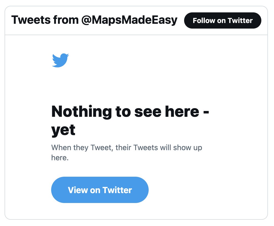
We will likely be leaving Twitter soon since the feed we had embedded in our site only displays the feed if you are logged into Twitter. Sad. Logged in vs not logged in screenshots. We can't have a blank spot on our main page.
Maps Made Easy tweet mediaMaps Made Easy tweet media
English
0
0
6
733
Maps Made Easy retweeté
Charlie Verdel
Charlie Verdel@CSVerdel·
Low-altitude drone survey along the Todd River north of Alice Springs. Made with a DJI Mavic Air 2 @MapsMadeEasy #rayshader #QGIS
Charlie Verdel tweet media
Alice Springs, Northern Territory 🇦🇺 English
1
3
25
2.5K
Maps Made Easy
Maps Made Easy@MapsMadeEasy·
Map Pilot Pro 5.5.0 has been released with new high resolution terrain data sources from Copernicus, ASTER, 3DEP and others. Worldwide coverage. 10 meter per pixel data is available throughout the US. Having multiple sources ensures data availability at your site.
Maps Made Easy tweet media
English
0
1
4
517
Maps Made Easy retweeté
Charlie Verdel
Charlie Verdel@CSVerdel·
Drone survey from central Australia. Data collected by @RockDrCait with a DJI Mavic Air 2. Photogrammetry by @MapsMadeEasy. GIS with #QGIS. Rendered with the #rayshader package in #rstats
Charlie Verdel tweet media
Alice Springs, Northern Territory 🇦🇺 English
2
6
31
4.2K
Maps Made Easy
Maps Made Easy@MapsMadeEasy·
@welshman001 @DroneDeploy We have released support for the N1 and RC Pro remotes to support the Mini 3 and the Mini 3 Pro. Look for version 1.4.1 on our site.
English
0
0
0
69
Jonathan H
Jonathan H@welshman001·
@MapsMadeEasy @DroneDeploy Thank you. Just 1 more question please. When your support is published do you anticipate it being functional with the RC controller?
English
2
0
0
37
Jonathan H
Jonathan H@welshman001·
@DroneDeploy @MapsMadeEasy Now that DJI have released the SDK to include Mavic 3 mini pro, what are the timelines for you to push out updates for Waypoints please?
Bluntisham, England 🇬🇧 English
1
0
0
188
Maps Made Easy
Maps Made Easy@MapsMadeEasy·
If you were to have any terrain data source available in Map Pilot Pro (aside from the standard SRTM) what would you like to see included?
English
0
1
3
482
Maps Made Easy
Maps Made Easy@MapsMadeEasy·
@lid5060 Can you please email this to mapping@dronesmadeeasy.com so we can try to address it? We will look into it but it needs to get into our system.
English
1
0
0
11
kyle
kyle@lid5060·
@MapsMadeEasy there is an issue with the android app where it crashes and seems to be caused when the drone looses power this is obviously an issue with mulitple battery mapping sessions and also the app will then keep crashing till you delete the data loosing your progress
English
1
0
0
30
Maps Made Easy
Maps Made Easy@MapsMadeEasy·
@dallalana91 You have to opt to create the .las file in Step 2 of the uploader process. Then it will be available for download after the job is done processing.
English
0
0
0
2
dallalana91@gmail.com
[email protected]@dallalana91·
@MapsMadeEasy using your free imagery process, do we able to download / share a Lidar format (.las)???
English
1
0
0
12
Maps Made Easy retweeté
Charlie Verdel
Charlie Verdel@CSVerdel·
Drone survey from central Australia consisting of 349 photos from a DJI Mavic Air 2. Digital elevation model and stitched image created with @MapsMadeEasy. Topographic contours made with QGIS. Flyover created with the rayshader package in Rstats
Alice Springs, Northern Territory 🇦🇺 English
6
23
154
18.7K