New blog post!
Why you need a data engineer: @datasf/why-you-need-a-data-engineer-3fe472d257da" target="_blank" rel="nofollow noopener">medium.com/@datasf/why-yo…
Did you know that you can view our calls for service, past incident reports, and much more?
By utilizing @DataSF, an open-source site for city departments you can do just that! ➡️ datasf.org
REMINDER! @sfmohcd and @sfoewd are collecting community input to help inform strategic investments in affordable housing and community services.
This is your opportunity to discuss how San Francisco can better serve its residents! Share your input at engagesanfrancisco.com
📧📨📬
Never miss a new dataset added to the SF Open Data Portal. Sign up for our "New Dataset" email list using the link below:
app.e2ma.net/app2/audience/…
🚨New Dataset🚨
SF Housing Production - 2005-present
"Completed or partially completed building permits resulting in the creation/loss of residential units. This dataset also includes the number of below market rate units by their affordability levels"
data.sfgov.org/Housing-and-Bu…
Top Datasets for October 🎃:
1. Police Dept. Incident Reports
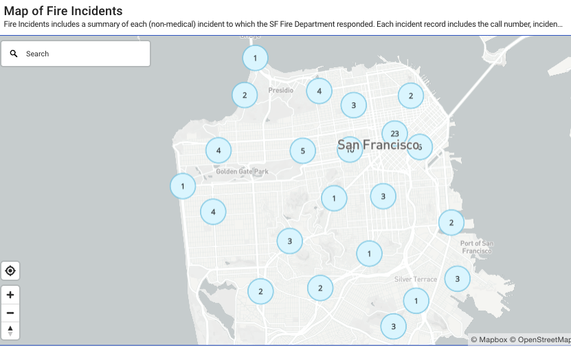
2. Fire Incidents
3. Registered Businesses
4. Street Sweeping Schedule
5. Film Locations
6. (honorable mention) Beach Water Quality
Find this data and more at sf.gov/data
In collaboration with City partners (including DataSF), @MySFPUC has created an interactive map so that anyone can find the closest drinking water or restroom anywhere in San Francisco.
Learn more: sfpuc.org/learning/how-y…
🚨New Dataset Published🚨
Police Department Stop Data, including elements of the stop, circumstances and the perceived identity characteristics of the individual(s) stopped. Data from July 1st, 2018 onward, updated quarterly.
Access the data on DataSF:
data.sfgov.org/Public-Safety/…
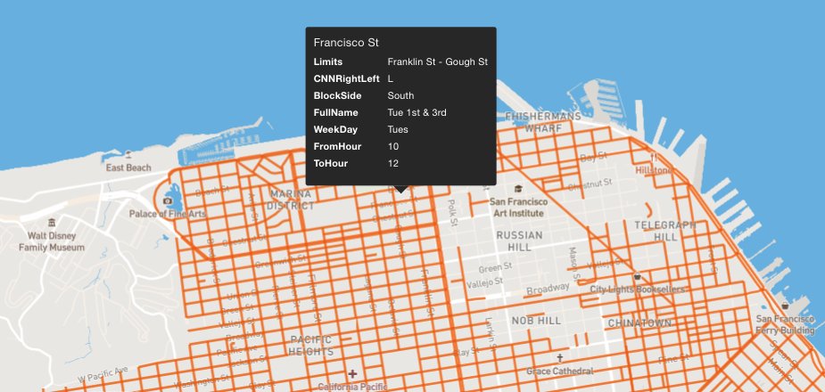
[NEW RESOURCE] To help people explore/visualize data related to San Francisco streets, I created a map using 25+ data sources, including street classifications, Slow Streets, Muni routes, street slope, and SFMTA’s “bike network” and recommended bike routes.felt.com/map/San-Franci…
@drivingmzstacey Looking into this right now. If you don't mind, would you also email support@datasf.org so we have a record of the request in the system (and we can respond back when it's fixed)?
@DataSF Thank you Dan T!
It’s the Traffic Injury Crash data. The most recent data available is 3/31/23. It says it is published quarterly, but they’re 2 months overdue. That’s pretty absurd for a city that allegedly has a #VisionZero goal.
Most popular datasets for August '23:
1. Fire Incidents
2. Police Department Incident Reports
3. Registered Business Locations
4. Street Sweeping Schedule
5. Film Locations in San Francisco
Find it all on the Open Data Portal (data.sfgov.org/browse)
🚨New Dataset Published🚨
Police Department Investigated Hate Crimes: Hate crimes reported by the @SFPD to the CA Dept of Justice. Includes hate crimes that occurred since January 2001.
data.sfgov.org/d/huqr-9p9x
🚨Dataset Update🚨
The "Film Locations in San Francisco" dataset has been updated by @Film_SF! See where all your favorite SF-based films were shot.
data.sfgov.org/Culture-and-Re…
🚨New DataSF Blog Post🚨
Be like water: building a flexible data pipeline for the Public Utilities Commission
@datasf/be-like-water-building-a-flexible-data-pipeline-for-the-public-utilities-commission-38046dab0d18" target="_blank" rel="nofollow noopener">medium.com/@datasf/be-lik…