고정된 트윗

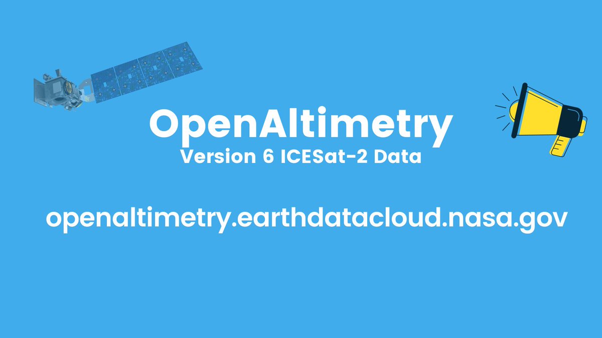
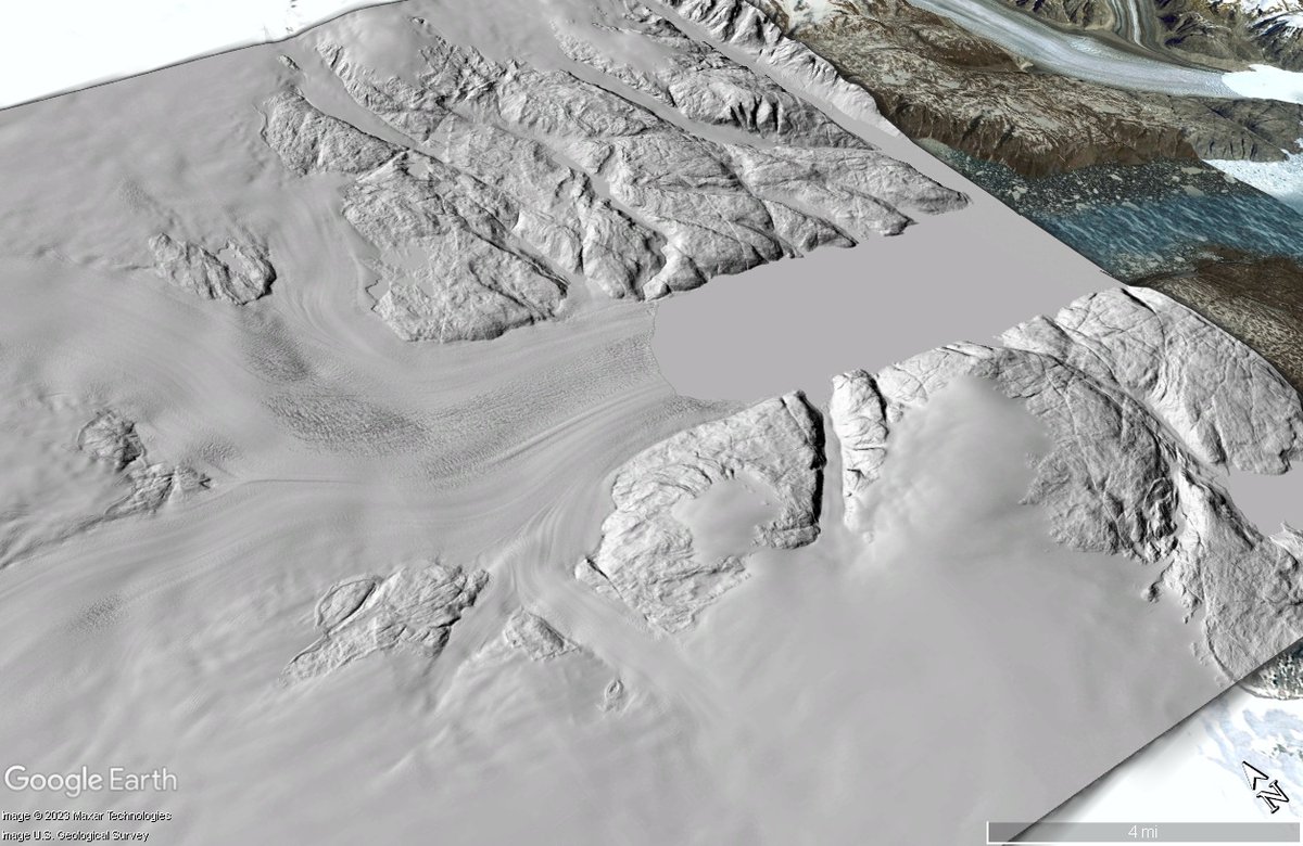
The all new @NASAEarthData OpenAltimetry web application with the latest version 6 ICESat-2 data products is now available at openaltimetry.earthdatacloud.nasa.gov #icesat2
English
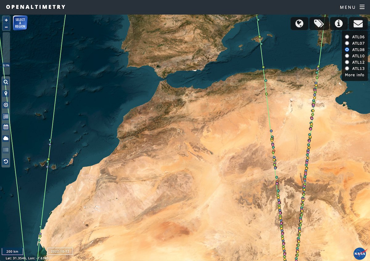
OpenAltimetry
197 posts

@OpenAltimetry
Discovery, access, and visualization of NASA #ICESat and #ICESat2 data. Supported by NASA grant NNX16AL89A


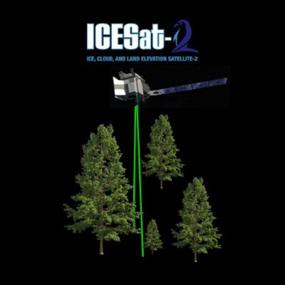


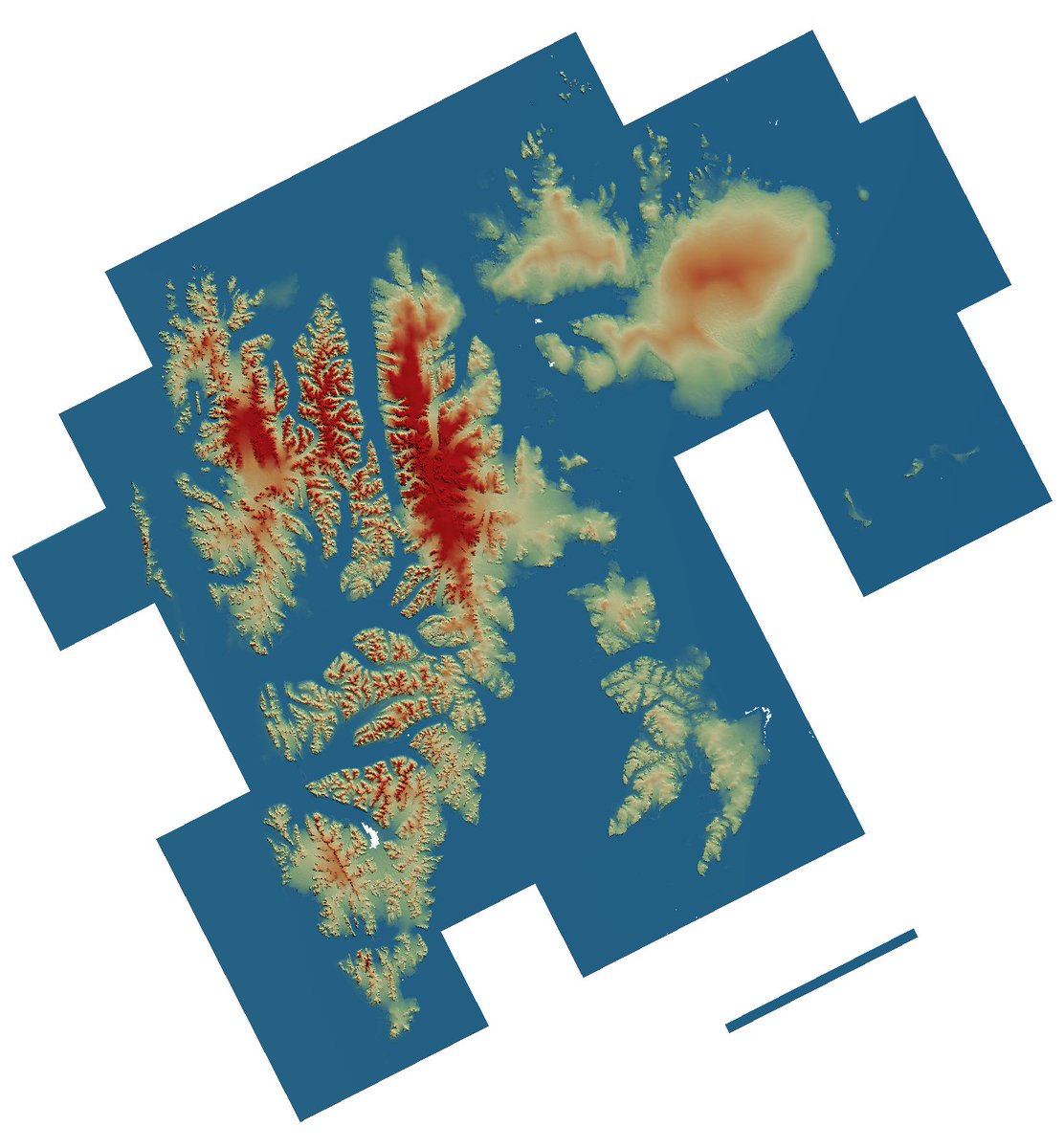
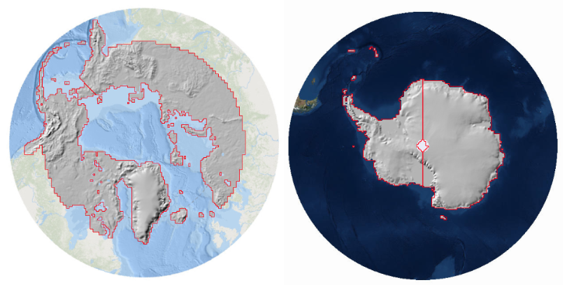
New #EGUhighlights: Modes of Antarctic tidal grounding line migration revealed by Ice, Cloud, and land Elevation Satellite-2 (ICESat-2) laser altimetry doi.org/10.5194/tc-17-…

Congrats to all the 2023 CIRES Outstanding Performance Award winners! CIRES OPAs highlight projects or work that are novel, high impact and show remarkable creativity or resourcefulness. @NOAA_ESRL @CUBoulder @NOAANCEI @NWSSWPC @NSIDC @WeAreWaterSW @CiresEO