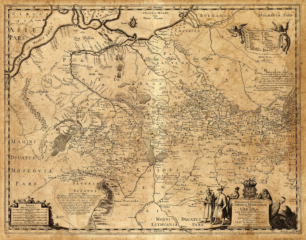
@1Wars1@jdv_93@El_Grey13@aleksbrz11 1) Original message claims map to be 18th century, not 17th
2) Ukraine as a state was not a thing until 20th century. If for example Silesia or Pomerania appears on maps it doesn't mean there wes such a state or ethnicity, same could be said about Ukraine, it was a region name.
@Kramaleee@jdv_93@El_Grey13@aleksbrz11 Ого, карта 17 века может иметь неточности? Вот это ты удивил, невероятно 🙏. Главный байт (который выше), заключался в том, что Украины якобы не было на картах до 20 века, и я на это ответил.
@1Wars1@El_Grey13@aleksbrz11 mocking in Latin? I surely do not understand what you are talking about. Which country was behind creating this map? What's actually potrayed on it and what different colors are supposed to mean?
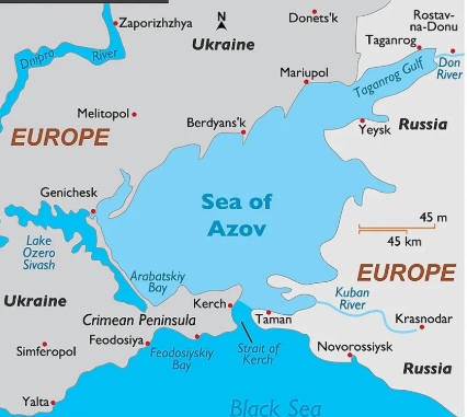
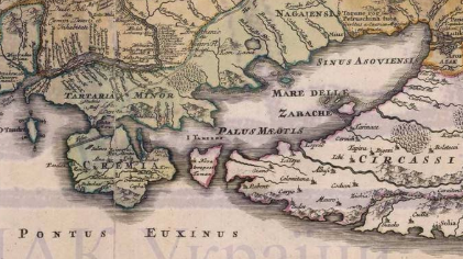
@jdv_93@1Wars1@El_Grey13@aleksbrz11 This is not a medieval map, original message claims that's it 18th century, maps were not this inaccurate in this era, also there are no masive islands in Azov sea, while this map potrays multiple.
@Ball15148Ball@jmsaitama2 He already introduced this concept in Chapter 5, in the form of “conceptual layers” where each layer is more “real” than the one below. Essentially this is the equivalent of infinite dimensionality, but more powerful