Sabitlenmiş Tweet

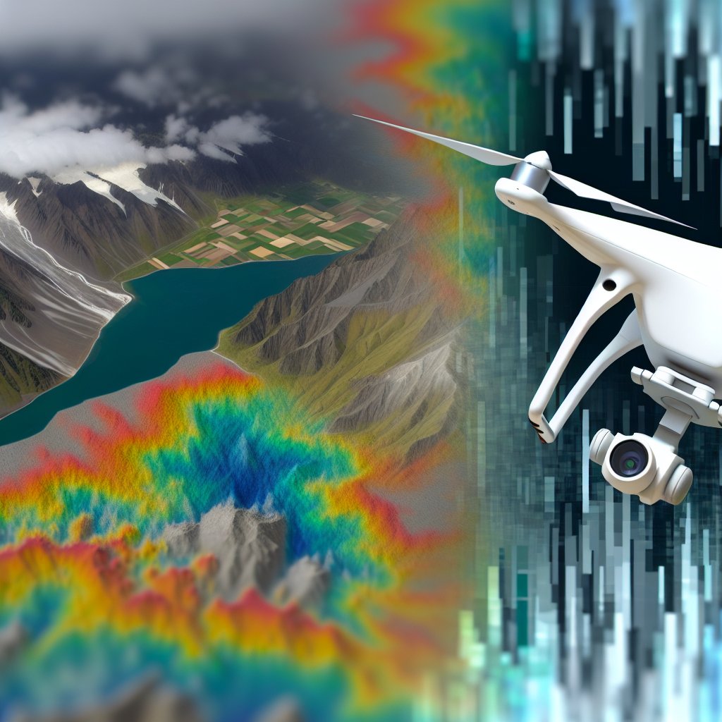
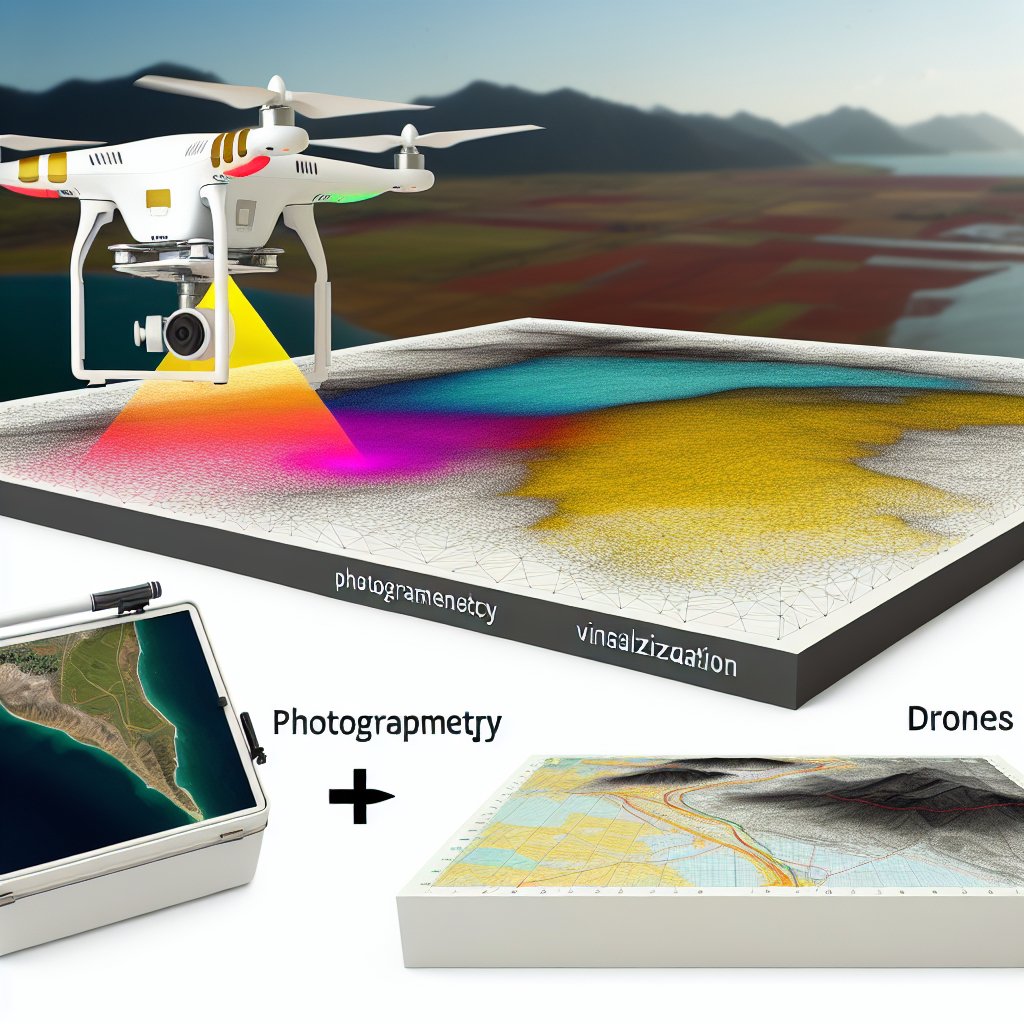
🚀 Elevate Your #Drone Game! 🌟 Explore Fresh Assets Daily on Our All-in-One #Photogrammetry Platform! 📸✨ Join the Sharing & Marketplace Revolution Today!
@djiglobal @cesiumjs #mapping #map
English
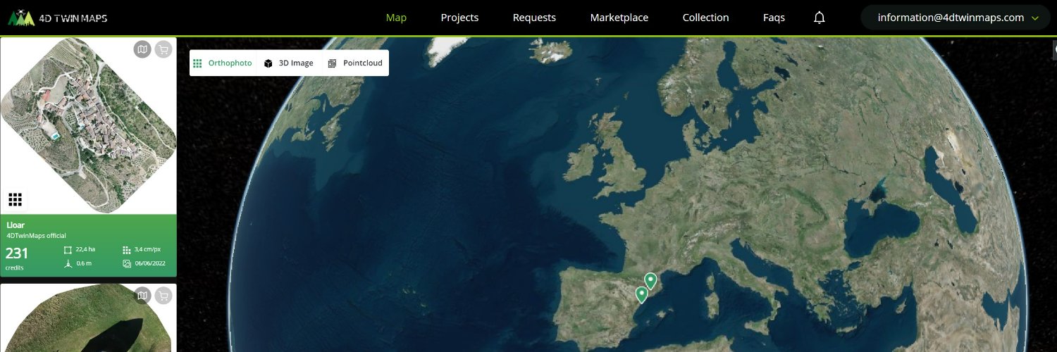
4D Twin Maps
454 posts
@4dTwinMaps
Develop a photogrametry mapping network for virtual twin world with 2D/3D geodata and a monetization marketplace.