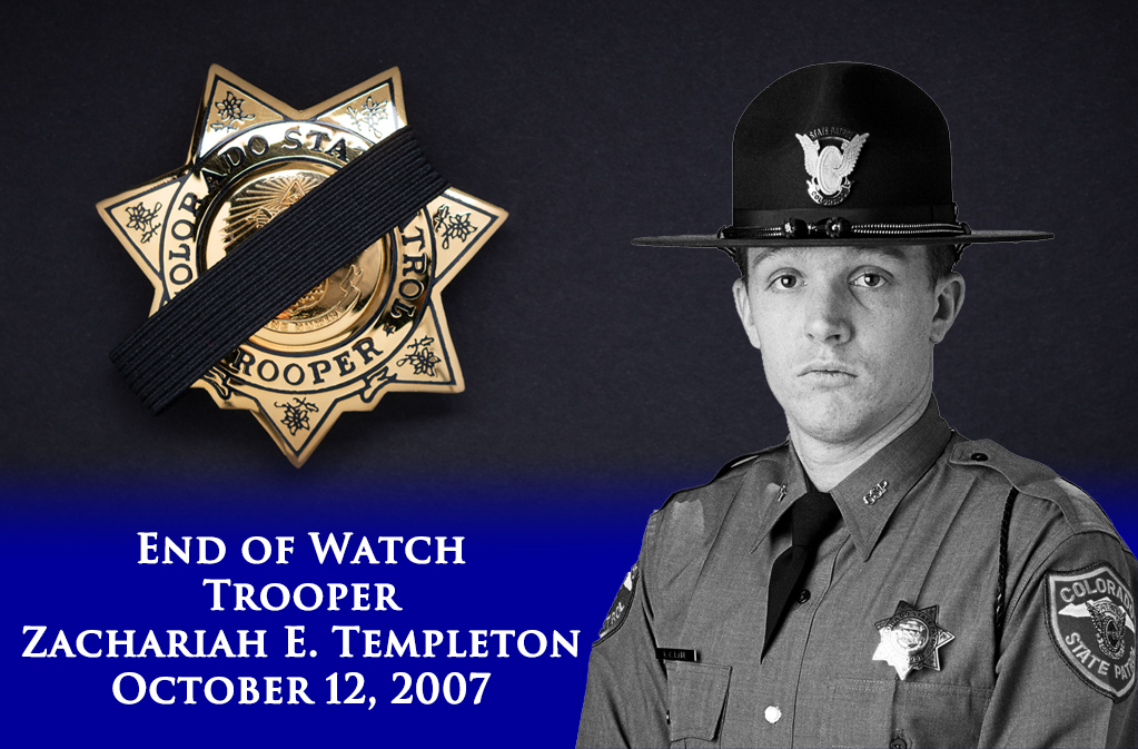

CSP Sterling retweetledi
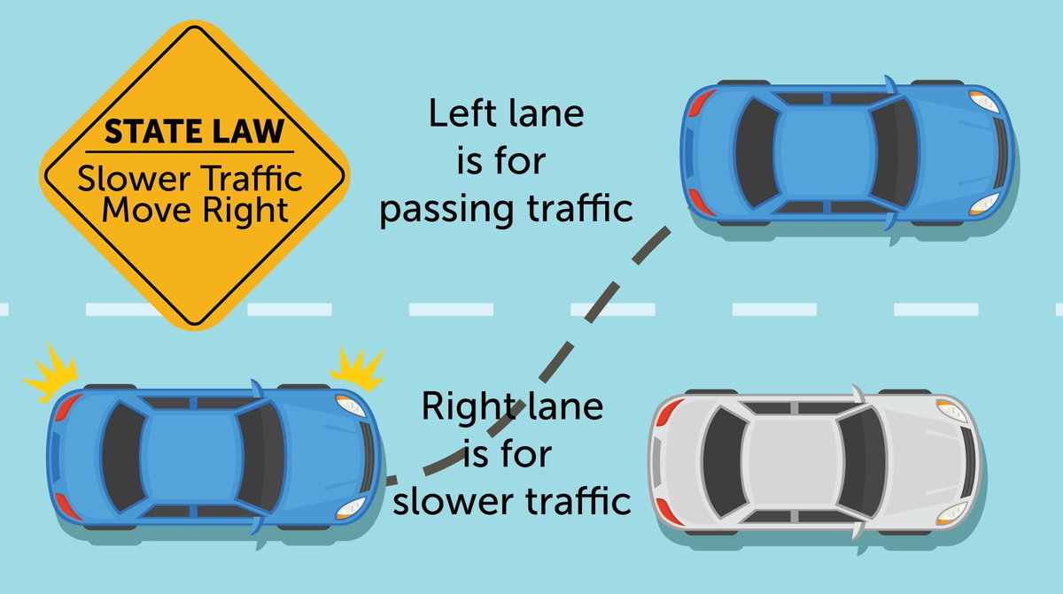
In Colorado, the left lane is reserved for passing where the speed limit is 65 or higher. Reduce frustration from faster drivers, who may or may not be driving over the legal limit. Move over once you pass and drive the posted limit. #KnowYourLane
English