Earthquake ID

1.7K posts

Earthquake ID banner
Earthquake ID

Earthquake ID

@EarthquakeID

Info Gempa Bumi

Indonesia Katılım Mart 2026
31 Takip Edilen88 Takipçiler
Earthquake ID
Earthquake ID@EarthquakeID·
Info Gempa : M4.4, 02-04-2026 21:54:35 WIB, Lokasi : 1.46 LU - 126.52 BT (Laut, 21 Km TimurLaut PULAU-BATANGDUA-MALUT), Kedalaman : 10 Km ::BMKG-PST
Earthquake ID tweet media
Indonesia
0
0
0
214
Earthquake ID
Earthquake ID@EarthquakeID·
Info Gempa : M4.0, 02-04-2026 21:53:01 WIB, Lokasi : 1.22 LU - 126.26 BT (Laut, 18 Km BaratDaya PULAU-BATANGDUA-MALUT), Kedalaman : 28 Km ::BMKG-PST
Earthquake ID tweet media
Indonesia
0
0
1
199
Earthquake ID
Earthquake ID@EarthquakeID·
Info Gempa : M4.3, 02-04-2026 21:52:29 WIB, Lokasi : 2.46 LU - 125.30 BT (Laut, 34 Km BaratDaya ONDONGSIAU-SULUT), Kedalaman : 29 Km ::BMKG-PST
Earthquake ID tweet media
Indonesia
0
0
0
138
Earthquake ID
Earthquake ID@EarthquakeID·
Info Gempa : M3.7, 02-04-2026 21:43:20 WIB, Lokasi : 0.94 LS - 123.72 BT (Laut, 76 Km TimurLaut BANGGAILAUT-SULTENG), Kedalaman : 31 Km ::BMKG-PST
Earthquake ID tweet media
Indonesia
0
0
0
120
Earthquake ID
Earthquake ID@EarthquakeID·
Info Gempa : M2.5, 02-04-2026 21:39:40 WIB, Lokasi : 8.39 LS - 117.12 BT (Darat, 38 Km BaratLaut SUMBAWA-NTB), Kedalaman : 32 Km ::BMKG-PST
Earthquake ID tweet media
Indonesia
0
0
0
116
Earthquake ID
Earthquake ID@EarthquakeID·
Info Gempa : M2.7, 02-04-2026 21:32:57 WIB, Lokasi : 8.55 LS - 113.56 BT (Laut, 45 Km BaratDaya JEMBER-JATIM), Kedalaman : 169 Km ::BMKG-PST
Earthquake ID tweet media
Indonesia
0
0
0
164
Earthquake ID
Earthquake ID@EarthquakeID·
Info Gempa : M2.7, 02-04-2026 21:31:57 WIB, Lokasi : 3.01 LS - 128.72 BT (Darat, 24 Km Tenggara SAWELI-SBB-MALUKU), Kedalaman : 18 Km ::BMKG-PST
Earthquake ID tweet media
Indonesia
0
0
1
197
Earthquake ID
Earthquake ID@EarthquakeID·
Info Gempa : M2.8, 02-04-2026 21:26:51 WIB, Lokasi : 4.52 LU - 96.33 BT (Darat, 24 Km Timur SUNGAIMAS-ACEHBARAT), Kedalaman : 13 Km ::BMKG-PST
Earthquake ID tweet media
Indonesia
0
0
1
144
Earthquake ID
Earthquake ID@EarthquakeID·
Info Gempa : M3.1, 02-04-2026 20:58:29 WIB, Lokasi : 9.25 LS - 118.17 BT (Laut, 110 Km Tenggara SUMBAWA-NTB), Kedalaman : 28 Km ::BMKG-PST
Earthquake ID tweet media
Indonesia
0
0
1
160
Earthquake ID
Earthquake ID@EarthquakeID·
Susulan; Info Gempa : M5.7, 02-04-2026 21:34:58 WIB, Lokasi : 1.39 LU - 126.61 BT (Laut, 26 Km TimurLaut PULAU-BATANGDUA-MALUT), Kedalaman : 10 Km ::BMKG-PST - (TIDAK BERPOTENSI TSUNAMI) Status : Confirmed #EarthquakeID
Earthquake ID tweet media
Indonesia
0
0
1
184
Earthquake ID
Earthquake ID@EarthquakeID·
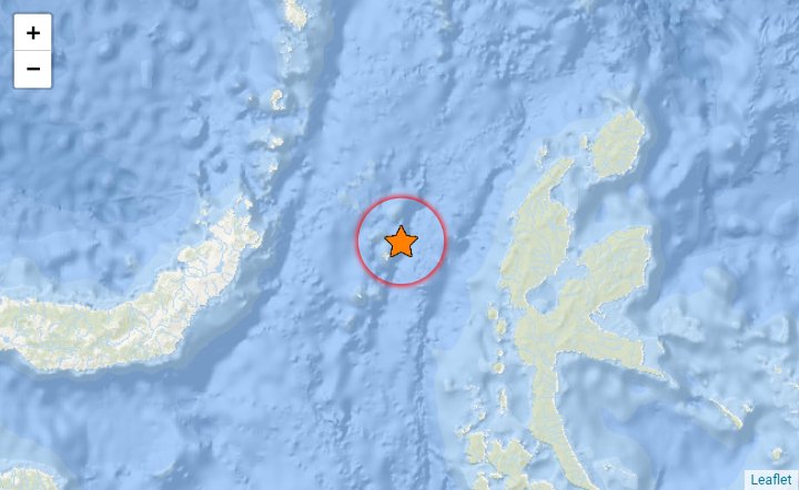
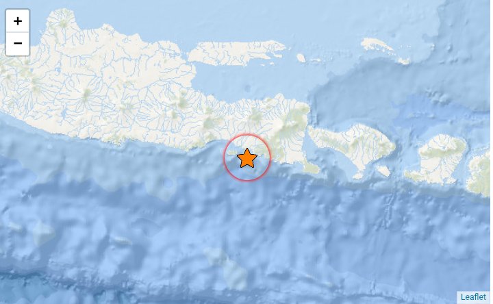
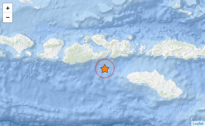
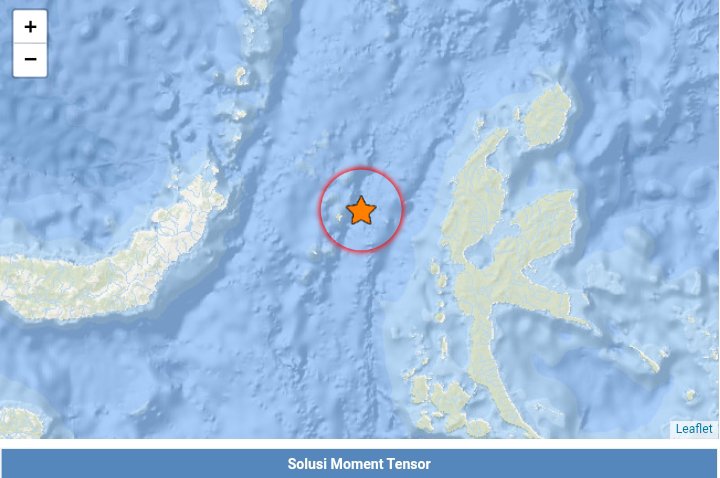
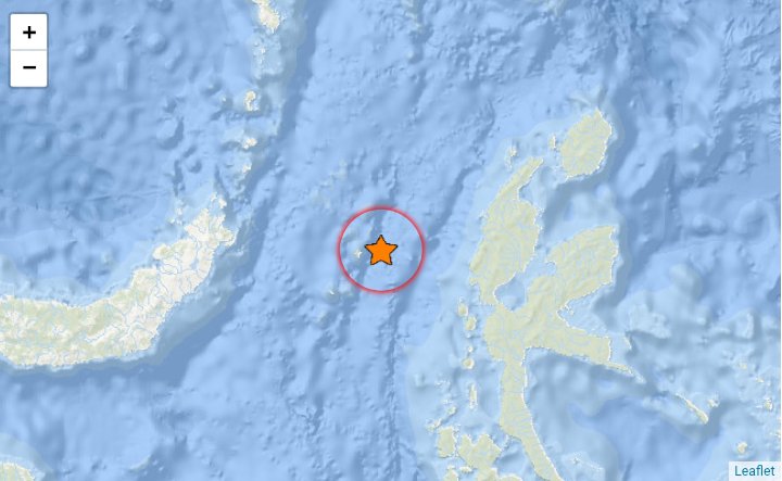
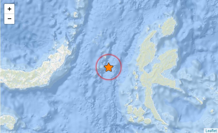
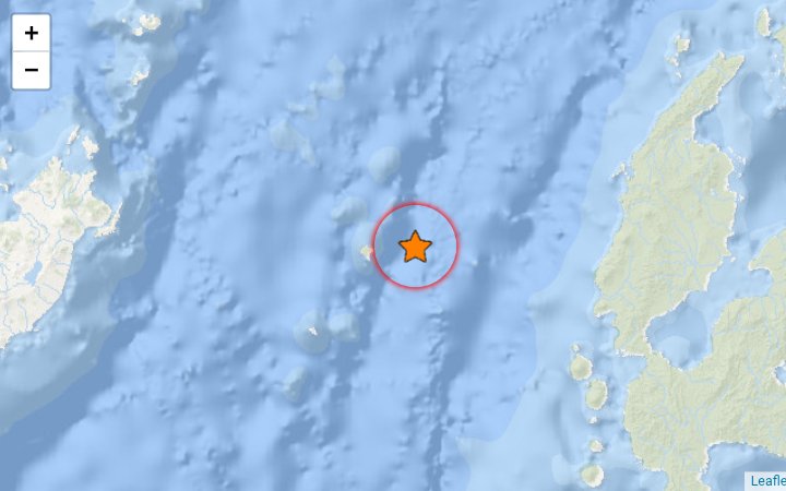
Hingga 02.04.2026 21:30 WIB telah terjadi sebanyak "263" gempa susulan (M2,4 ~ M6,4) di Laut Maluku Utara. Tetap waspada, gempa-gempa susulan skala kecil masih akan berlangsung hingga bebatuan yang terdeformasi stabil kembali. Gempa signifikan M5+ sesekali masih akan muncul.
Earthquake ID tweet media
Indonesia
0
0
2
286
Earthquake ID
Earthquake ID@EarthquakeID·
Susulan; Info Gempa : M5.9 (Mw), 02-04-2026 21:13:48 WIB, Lokasi : 1.42 LU - 126.61 BT (Laut, 27 Km TimurLaut PULAU-BATANGDUA-MALUT), Kedalaman : 10 Km ::BMKG-PST - (TIDAK BERPOTENSI TSUNAMI) Status : Manually Revised #EarthquakeID
Earthquake ID tweet media
Indonesia
0
1
1
262
Earthquake ID
Earthquake ID@EarthquakeID·
Info Gempa : M2.5, 02-04-2026 20:46:37 WIB, Lokasi : 8.73 LS - 111.48 BT (Laut, 73 Km Tenggara PACITAN-JATIM), Kedalaman : 19 Km ::BMKG-PST
Earthquake ID tweet media
Indonesia
0
0
0
226
Earthquake ID
Earthquake ID@EarthquakeID·
Info Gempa : M2.9, 02-04-2026 20:42:59 WIB, Lokasi : 3.81 LS - 122.46 BT (Darat, 19 Km BaratLaut KENDARI-SULTRA), Kedalaman : 8 Km ::BMKG-PST
Earthquake ID tweet media
Indonesia
0
0
1
203
Earthquake ID
Earthquake ID@EarthquakeID·
Info Gempa : M3.1, 02-04-2026 20:13:50 WIB, Lokasi : 1.77 LU - 124.66 BT (Laut, 39 Km BaratLaut KOTA-MANADO-SULUT), Kedalaman : 30 Km ::BMKG-PST
Earthquake ID tweet media
Indonesia
0
0
1
274
Earthquake ID
Earthquake ID@EarthquakeID·
Info Gempa : M4.5, 02-04-2026 20:03:02:WIB, Lokasi : 1.36 LU - 126.59 BT (Laut, 23 Km TimurLaut PULAU-BATANGDUA-MALUT), Kedalaman : 8 Km ::BMKG-PST
Earthquake ID tweet media
Indonesia
0
0
0
207
Earthquake ID
Earthquake ID@EarthquakeID·
Info Gempa : M4.6, 02-04-2026 20:02:11 WIB, Lokasi : 1.00 LU - 126.50 BT (Laut, 38 Km Tenggara PULAU-BATANGDUA-MALUT), Kedalaman : 10 Km ::BMKG-PST
Earthquake ID tweet media
Indonesia
0
0
0
187
Earthquake ID
Earthquake ID@EarthquakeID·
Info Gempa : M4.0, 02-04-2026 19:56:05 WIB, Lokasi : 1.17 LU - 125.91 BT (Laut, 86 Km Tenggara BITUNG-SULUT), Kedalaman : 47 Km ::BMKG-PST
Earthquake ID tweet media
Indonesia
0
0
0
216
Earthquake ID
Earthquake ID@EarthquakeID·
Info Gempa : M4.1, 02-04-2026 19:51:26 WIB, Lokasi : 3.58 LS - 134.82 BT (Darat, 79 Km BaratDaya NABIRE-PAPUATNGH), Kedalaman : 8 Km ::BMKG-PST
Earthquake ID tweet media
Indonesia
0
0
0
196
Earthquake ID
Earthquake ID@EarthquakeID·
Info Gempa : M4.4, 02-04-2026 19:46:12 WIB, Lokasi : 1.35 LU - 126.60 BT (Laut, 25 Km Timur PULAU-BATANGDUA-MALUT), Kedalaman : 7 Km ::BMKG-PST
Earthquake ID tweet media
Indonesia
0
0
0
182