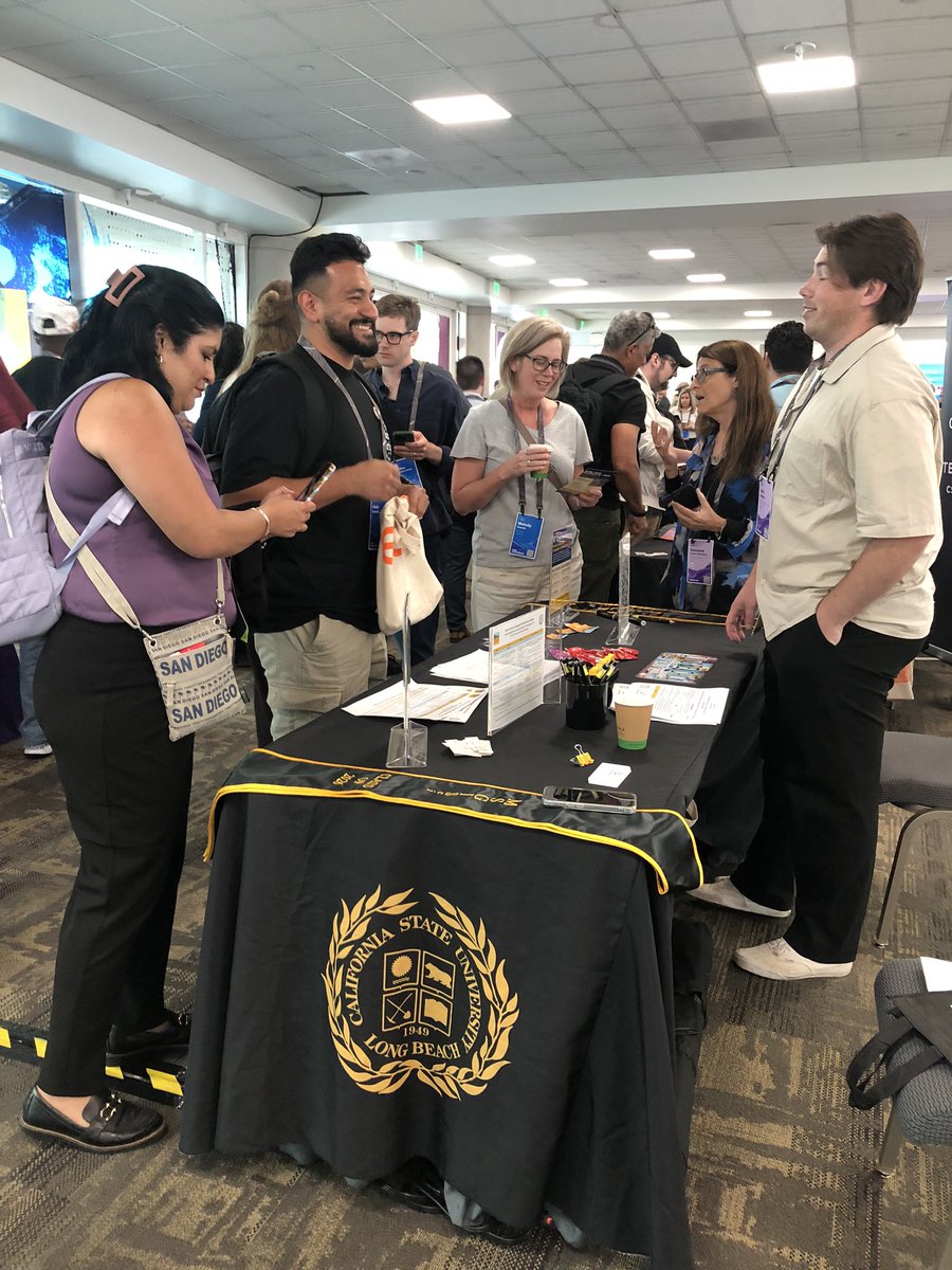
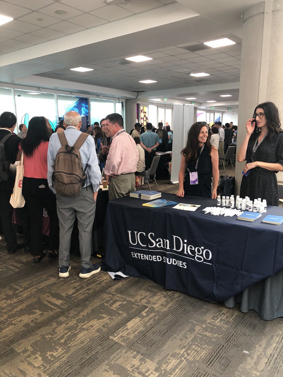
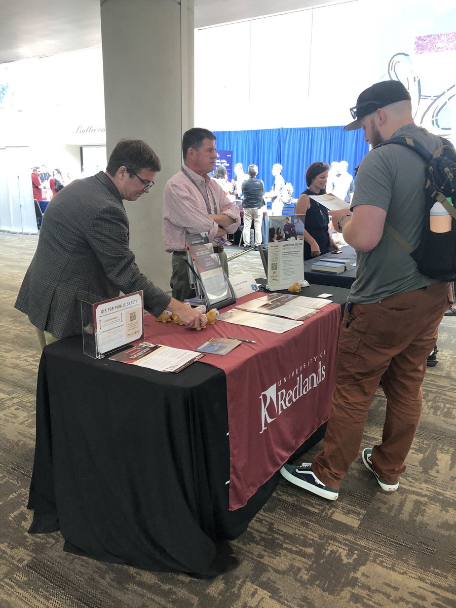
Maximize your @LivingAtlas layers with the Image Collection Explorer.
✅ Filter by attributes/extent
✅ Preview detailed metadata
✅ Save selections as new imagery layers
✅ Zero storage overhead
Check out Jeff Swain’s breakdown of this essential tool: ow.ly/myGi50Yw6Jt
AI has had profound impact on how we do our work in education.
This blog shares how to get started with teaching with GeoAI in ArcGIS 🗺️ ow.ly/tHKO50Yw6f0
We’re here at @AmericanGeo Annual Meeting in San Francisco! Stop by our booth to load up on Esri swag, view our demo theater, and chat with the Esri team including Esri Press 📚
#AAG2026
Celebrate Women's History Month with a classroom dive into the deep! 🌊🗺️
Before GPS, Marie Tharp mapped the ocean floor by hand, proving plate tectonics. ✍️🌍
Invite your students to explore her legacy with this interactive StoryMap: ow.ly/yhEr50YvBKx
Register for the virtual Esri Imagery & Remote Sensing Educators Summit 📡 Get best practices, discover innovative applications of remotely sensed data, and access resources to elevate your curriculum and research 🛰️ ow.ly/SChx50YvBzY
High school STEM & SPED students are getting introduced to #geology and #GIS with the University of North Georgia Geoscience’s GeoEd program 🗺️
Here's how: ow.ly/OxFn50YvBei
Bring map reading skills to your classroom 📚
Trusted by teachers and professional cartographers for 50 years, "Map Use" makes cartographic principles accessible to all and includes a thoughtful structure designed for college curricula.
➡️ ow.ly/WfFA50YuTWa
This National Geographic MapMaker activity uncovers climate regions and explores Earth's environments ☀️☁️ #MapMakerMonday
Incorporate this activity in your classroom: ow.ly/QLEZ50Yv2WZ
Use this Guide to the Geographic Approach module to foster a problem-solving mindset 👇
🔸Quantify differences in access to pharmacies during normal conditions and extreme flooding: ow.ly/gnAM50YuTLY
Investigate health-care equity during disasters 🌧️🏥
Understanding the foundational concepts of GIS and AI opens the door to endless opportunities.
This blog post explores the possibilities of AI in education 🤖 ow.ly/rjhW50Ytuq4
The new imagery book for classrooms and professionals is here!
"Top 20 Essential Skills for Imagery and Remote Sensing" guides readers through the essential techniques to visualize, process, analyze, and manage imagery and raster products 🛰️ ow.ly/6uiF50Ytu8Q
ArcGIS isn’t just part of your tech stack—it’s the glue holding it all together 🗺️
John Young from Langan explores how campus operations leaders are using ArcGIS as the anchor for smarter, safer, and more efficient facilities.
🔗 ow.ly/zpUm50Ytu61
From mapping fire hydrants to launching careers, these Detroit students are putting their community on the map! 🗺️✨
See how Frederick Douglass Academy is using GIS and drones to inspire the next generation of tech leaders. 🏙️🛰️
Read the full story: ow.ly/gZYw50Ys9jv
Gain a competitive edge with the Guide to the Geographic Approach 👇
🔸Turn data into location intelligence to find your next growth opportunity: ow.ly/wiTf50YrzQ7
Use spatial analysis to visualize market potential and make data-backed decisions 📊
If you're in need of imagery workflows, check out these authoritative resources to help you manage, analyze, and use your imagery and rasters 🙌 ow.ly/Oc6r50Yswr1
We are excited for AAG happening next week in San Francisco❗We will host workshops, a demo theater, and a YPN networking social 👏
See you there! ow.ly/MCZV50Yswcg
Mark your calendar: April 22–23, 2026 📅 Join the Esri Imagery & Remote Sensing Educators Summit 📡 Explore new applications, best practices, and teaching resources 🛰️ ow.ly/C78k50YrYGY
ArcGIS provides modern, industry-standard #GIS tools and methods for your classroom exercises and projects.
Check out these resources and best practices for #educators 👩🏫ow.ly/7Xjs50YrYwS
Put the Guide to the Geographic Approach into action 👇
🔸Explore GPS-tracked data and investigate movement patterns of two bird species: ow.ly/hIhq50Yry59
Analyze wildlife response to climate change with GIS 🌄