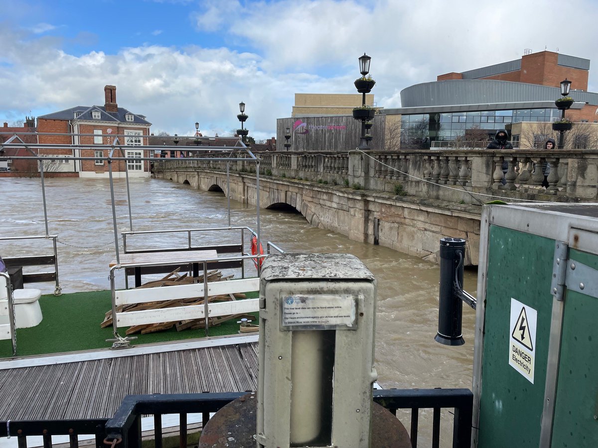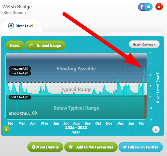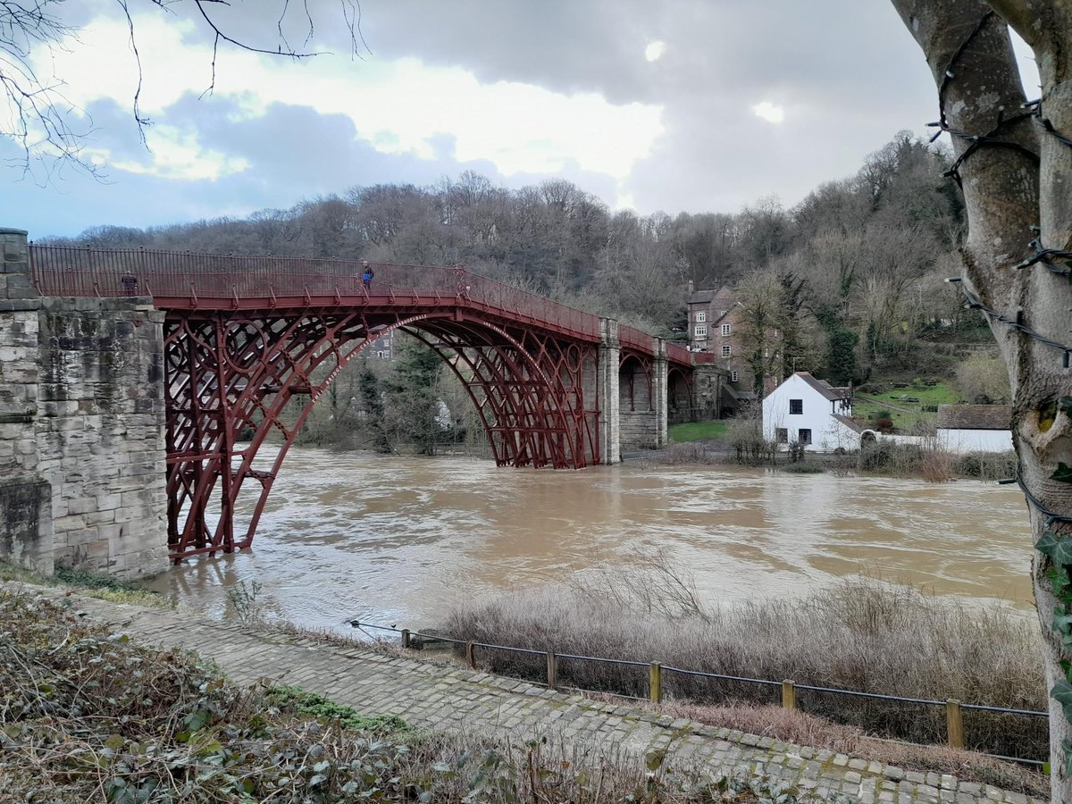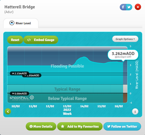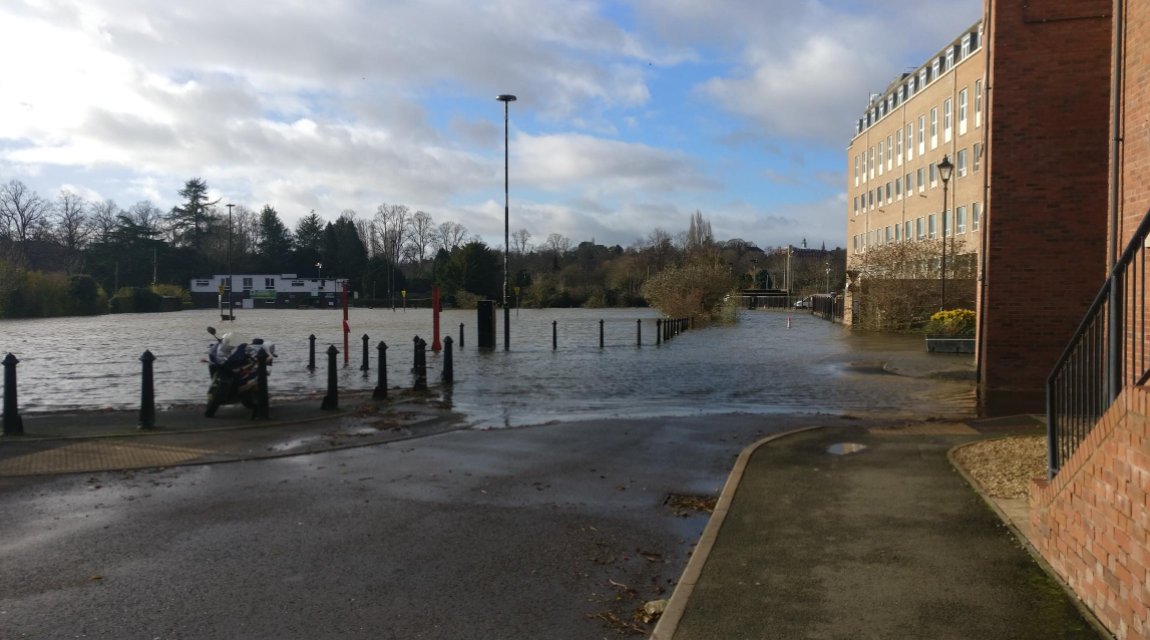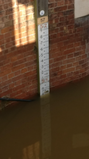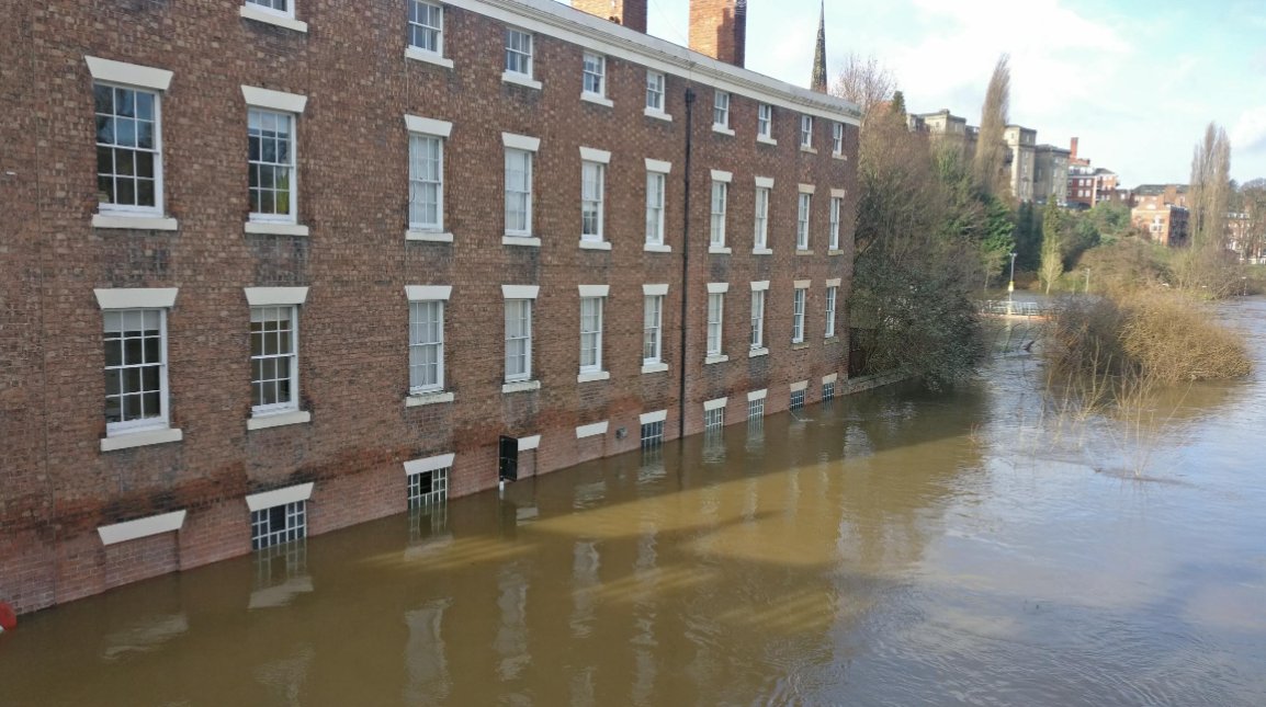
Welsh Bridge (@riverlevel_0036), Shrewsbury, Shropshire
ShrewsburyTC@ShrewsburyTC
Notice: Due to flooding, Quarry Play area is currently closed. Cleansing operations will take place once the water recedes.
English
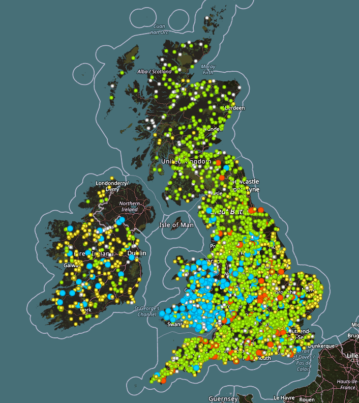
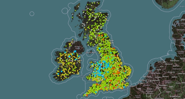
GaugeMap
1.2K posts
@GaugeMap
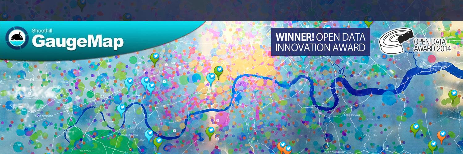
https://t.co/p9yr0fdeeb by @Shoothill has data from over 3000 live river / tide gauges from England, Ireland, Scotland & Wales with each on Twitter
Notice: Due to flooding, Quarry Play area is currently closed. Cleansing operations will take place once the water recedes.