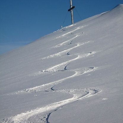
Im Zweifel liesse sich das übrigens mit dem Geodatensatz der Kantonsgrenzen herausfinden. Abrufbar auf map.geo.admin.ch (hier der direkte Link zum Datensatz: s.geo.admin.ch/a0b9ae1464) @swisstopo @swiss_geoportal
Deutsch
Daniel Willi
138 posts

@GeodWilli
Head of Geodetic Surveying at swisstopo (Swiss Federal Office of Topography). GNSS, geoid and programming enthusiast.


With new measurements, the gravity network in Finland extends to our sea areas. Gravity is slowly changing, thanks to land uplift among other things. This effects the accuracy of #GNSS positioning. maanmittauslaitos.fi/en/topicalissu… #FGIGEOGEO #positioning photo: @Dr_Jyri