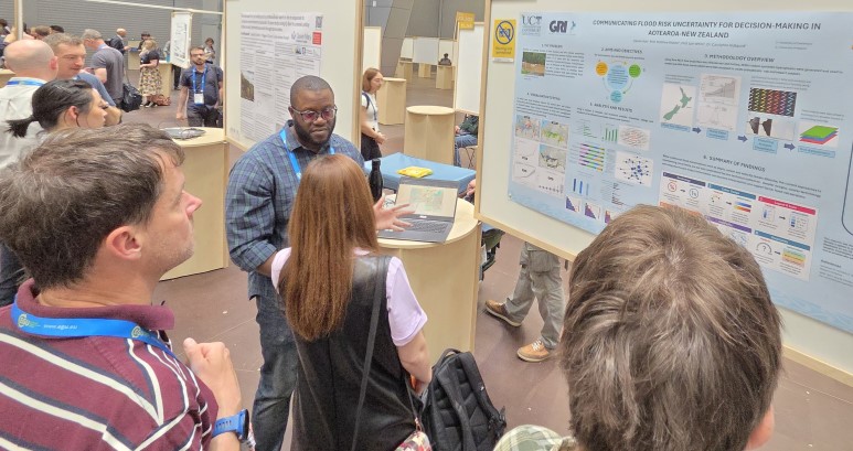
Geospatial Research Institute (GRI) | Toi Hangarau
328 posts

Geospatial Research Institute (GRI) | Toi Hangarau
@GeospatialNZ
The GRI (at University of Canterbury, New Zealand) provides a unique opportunity for all branches of the geospatial community to communicate and collaborate.
Christchurch City, New Zealand Katılım Şubat 2017
116 Takip Edilen344 Takipçiler

Join us for a GRI Seminar with Sara Mikaloff-Fletcher on Thursday, May 7th at 1pm at UC or via zoom. Learn more and register for free:
events.humanitix.com/methanesat
English

Please come in person or online to our next GRISS seminar. It will be on Thursday, May 7th at 1pm, featuring Sara Mikaloff-Fletcher, Principal Scientist at Earth Sciences NZ. She will be giving a talk Quantifying agricultural CH4 events.humanitix.com/methanesat
#methanesat

English

We are excited to announce the Geospatial Research Institute Toi Hangarau PhD Scholarship 2026! Total NZ$35650/year, plus fees and $4000 expenses. To apply visit: geospatial.ac.nz/jobs-and-schol… #phdscholarship #geospatial #scholarship Please share with your networks!

English

We wish GRI Scholarship recipient, Sunil Tamang a big congratulations for getting his paper: "A review of evolving remote sensing and automated techniques in rock glacier mapping" published in Earth-Science Reviews doi.org/10.1016/j.ears…

English

Please join us this Friday, March 6th for a GRI Seminar 6th featuring Professor Marwan Younis. He will be giving a talk called “Current Trends in Synthetic Aperture Radar Imaging Techniques” events.humanitix.com/sarimaging

English

Come watch the first GRISS talk of 2026 and learn about Current Trends in Synthetic Aperture Radar Imaging Techniques. The seminar is led by Professor Marwan Younis Spaceborne Radar Systems, Karlsruhe Institute for Technology (KIT). events.humanitix.com/sarimaging

English

Join us: 27th November for an exciting talk coming up for GRI Seminar Series entitled: Nationally Consistent Flood Hazard and Risk Information for Aotearoa by Earth Sciences New Zealand's Principle Scientist Dr Emily M Lane. In person and on Zoom. events.humanitix.com/floodhazardand…

English

GRI Director, Matthew Wilson and GRI Geospatial Developer, Luke Parkinson gave a talk entitled Development of open-source digital twins for automated analysis of flood risk at the #FOSS4G 2025 this week in Auckland #opensource #geospaital #digitaltwin

English

Yesterday at the Waterways Conference 2025, held at Lincoln University, New Zealand, Sunil Tamang delivered an insightful oral presentation titled: “Automating the outline: How accurately can deep learning delineate rock glacier extent?” #geospatial

English

The GeoHealth Lab's Malcolm Campbell is featured in a UC article: "UC launches interactive tool to guide low-carbon urban planning" canterbury.ac.nz/news-and-event…

English

Wishing Xander Cai a huge congratulations for his latest published article in journal Remote Sensing, titled: JSPSR: Joint Spatial Propagation Super-Resolution Networks for Enhancement of Bare-Earth Digital Elevation Models from Global Data mdpi.com/2072-4292/17/2… #geospatial

English

Call for applications for an exciting opportunity to work in the GeoHealth Laboratory! Research Associate/Post-Doctoral Fellow GRI Spatial Data position available. tinyurl.com/geohealthresea… #geohealth #geospatial #geospatialjobs

English

You are invited to our GRISS seminar on Thur, November 27th, featuring Dr Emily Lane, Principal Scientist at Earth Sciences New Zealand (formally NIWA). She will be giving the talk “Nationally Consistent Flood Hazard & Risk Information for Aotearoa” events.humanitix.com/floodhazardand…

English


