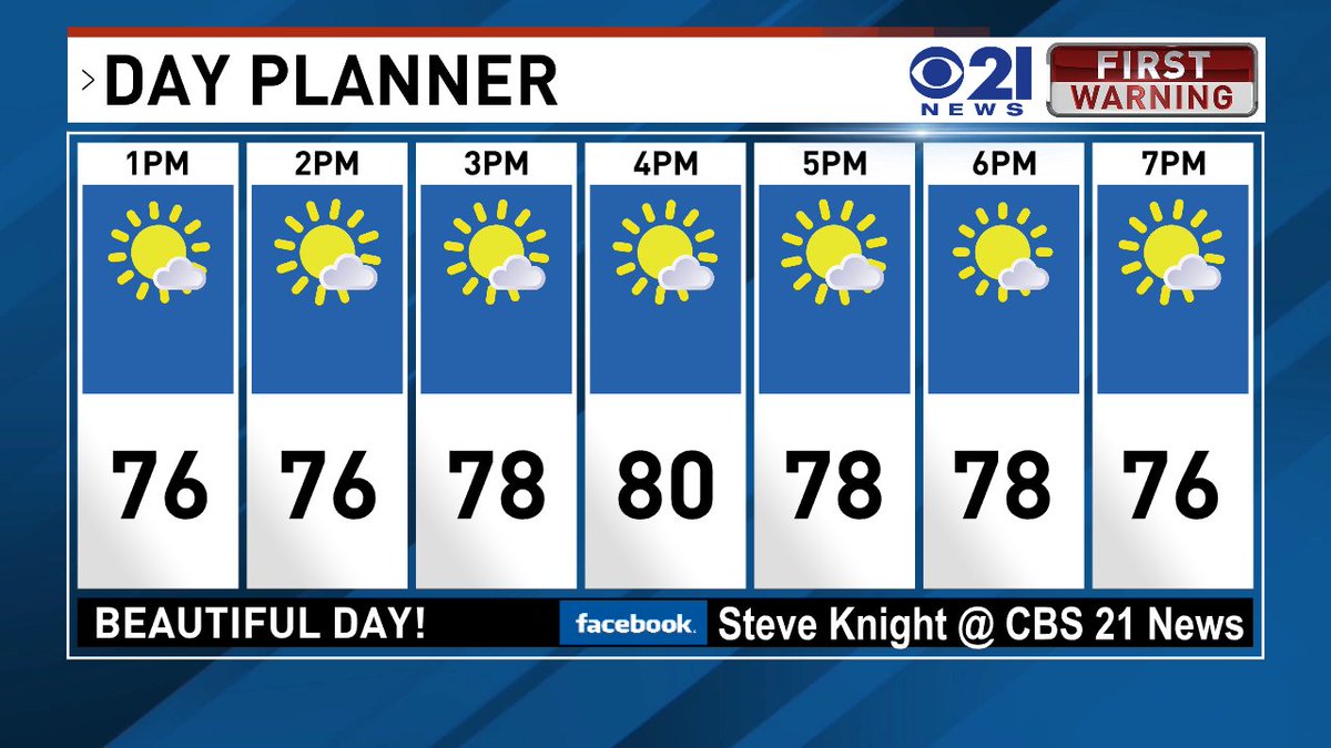
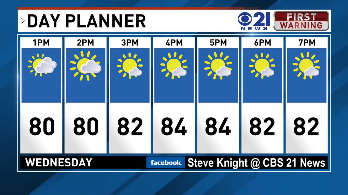
Finally.. some good weather news! Skies will be clearing today and the humidity will start to drop.. under mostly sunny skies the rest of the week will feature highs in the mid to low 80s!
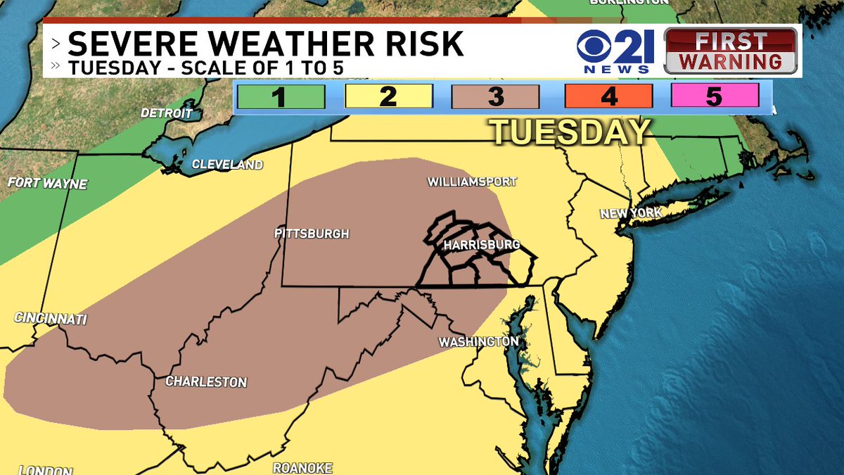
SEVERE TUESDAY WEATHER: Scattered to numerous severe thunderstorms with damaging winds 60
mph or greater are expected this afternoon through the evening. A few isolated tornadoes and large hail exceeding 1 inch in diameter are also
possible.
We now have our second named storm of the 2026 season. #Bertha will bring potentially heavy rain from the Florida Panhandle to Louisiana and Texas through the weekend. Some areas could see up to 8" of rain, triggering local flash flooding, especially in urban areas.
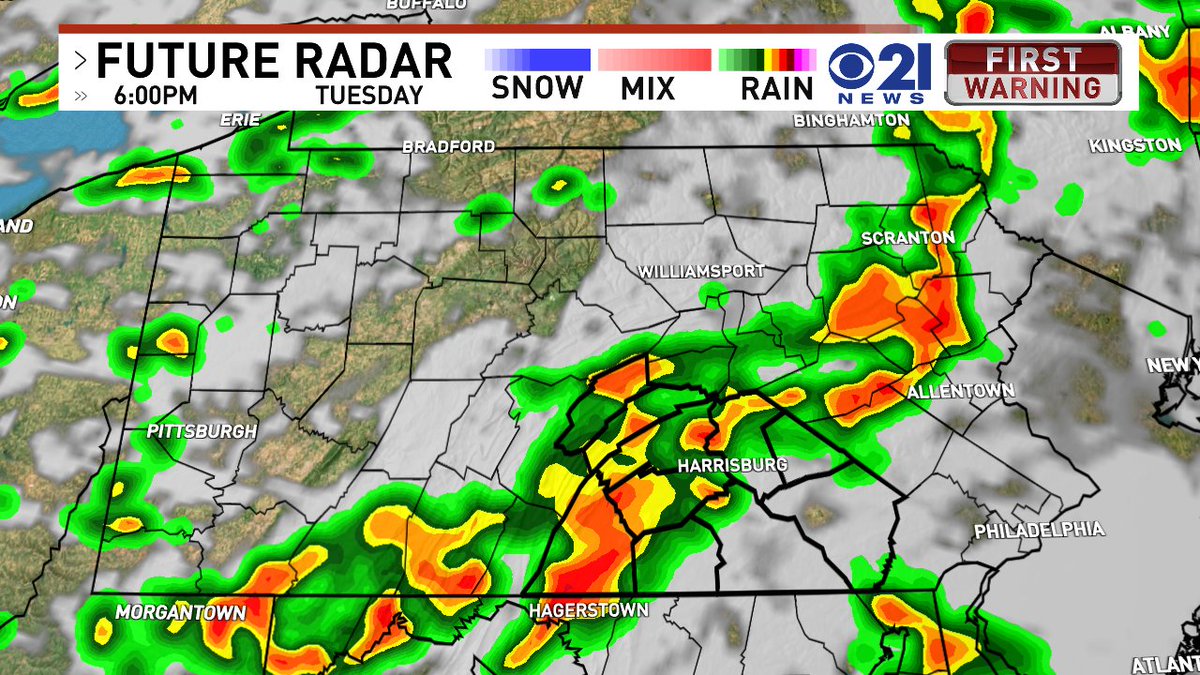
HERE WE GO AGAIN: After a nice break for a couple of days, stormy weather will return on Tuesday with storms capable of damaging winds and heavy downpours. The current timing looks like mid-Afternoon into the evening. local21news.com/weather
SATURDAY NIGHT UPDATE: A severe thunderstorm warning has been issued for parts of Perry, Dauphin and Cumberland Counties until 10:15 PM. Hail and winds of 60 mph+ are possible. local21news.com/weather
*STORMY SATURDAY*: A severe thunderstorm watch is in effect until 9PM. Southeastern PA is under a Tornado Watch until 9PM. Isolated storms will be capable of very heavy downpours and damaging winds. local21news.com/weather
No way to sugar coat it, folks.. this is worse than it was back in 2023. Our current air quality is anywhere from very unhealthy to hazardous and the DEP has issued a CODE Purple Air Quality alert for today. local21news.com/weather
A * CODE RED* Air quality alert has been issued for Thursday due to Canadian Wildfire Smoke. Those who are especially sensitive to elevated levels of pollutants have an increased risk of adverse effects. local21news.com/weather
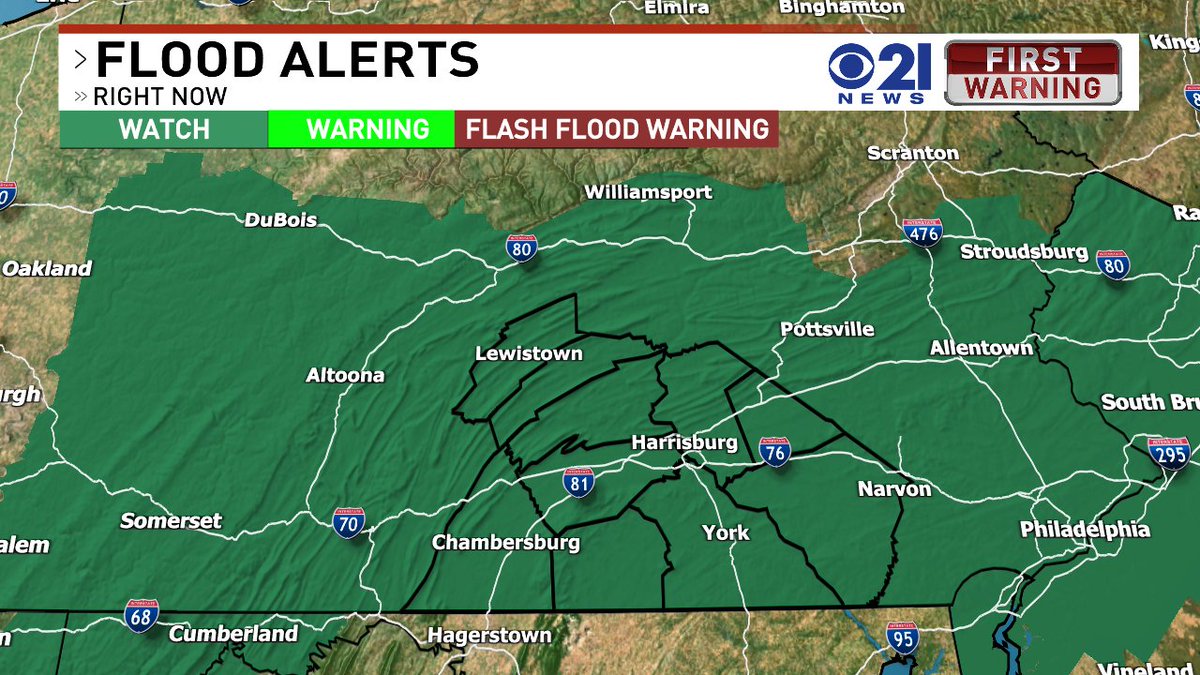
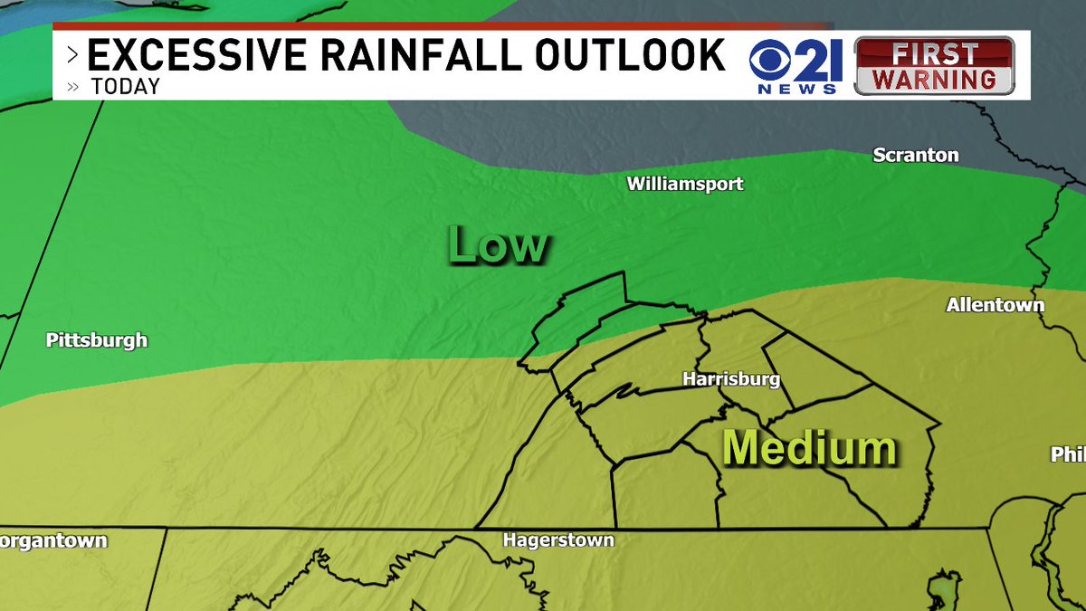
Thunderstorms this afternoon will be capable of producing heavy downpours. The National Weather Service has issued a *Flood Watch* that goes into effect at Noon on Thursday. local21news.com/weather