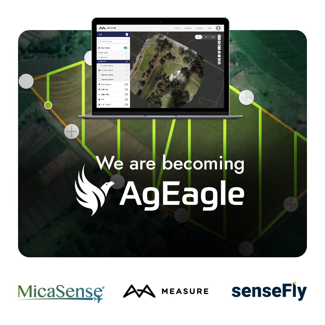
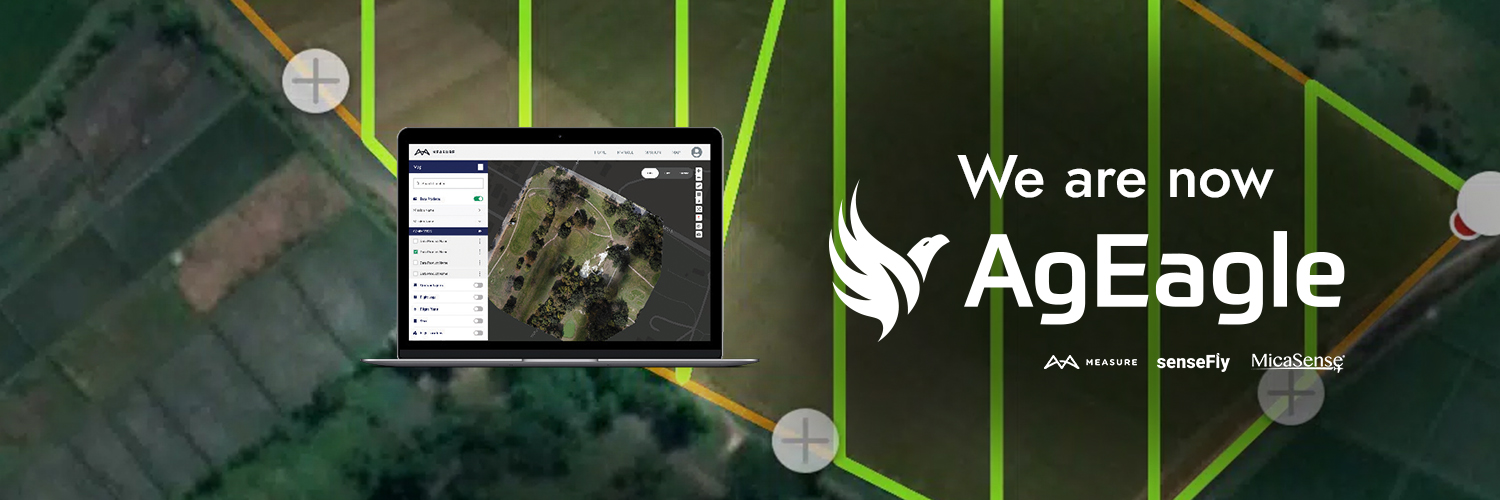
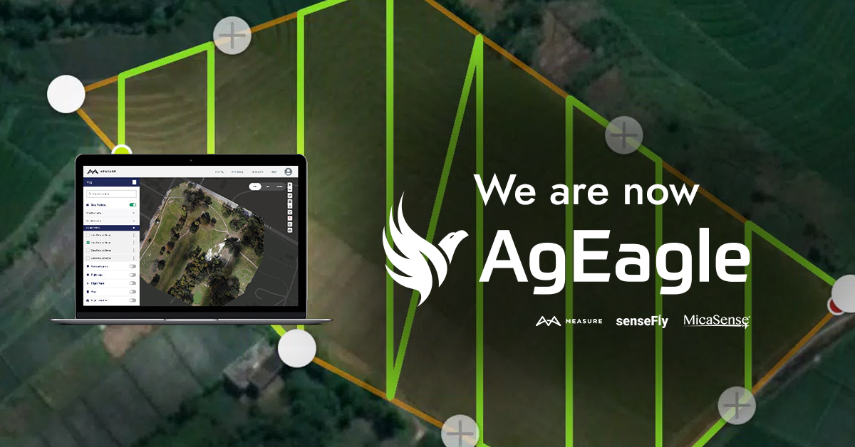

Measure, now AgEagle
4.6K posts

@MeasureUAVS
We are now @AgEagleUAVS, provider of professional solutions in software, sensors and drones. Follow us there.


Attending Commercial @ExpoUAV? Let's connect at booth 223! We'll be showcasing the innovative eBee VISION #UAS, the new RedEdge-P dual #dronesensor, and the unique features of Measure Ground Control #dronesoftware. Learn more: bit.ly/3Z1l5x8

New! On-site #multispectral data quality control with the Measure Ground Control #dronesoftware app Designed for compatibility with #MicaSense series sensors, #FieldCheck tool now reviews on-site multispectral imagery and suggests recapture flight paths: bit.ly/3qHrUXX

Eliminate data gaps and poor-quality #photogrammetry images with Measure Ground Control #dronesoftware. This in-field quality control #dronetool detects unusable imagery and provides corrective flight path, resulting in time & cost savings. 30-day trial: bit.ly/3Q6PBDj

Generate high-resolution #multispectral, #RGB, and #thermal outputs with Measure Ground Control #dronesoftware. Unlock its full potential by leveraging its tools, including annotation, data comparison, and crop focus features. Start your 30-day trial: bit.ly/43KmCsT

Measure Ground Control #dronesoftware offers a streamlined interface for managing every task in your drone program, from pilots and drones to missions and data process, allowing the scalability of your operations. Start your 30-day trial: bit.ly/3oTvpts

Measure Ground Control software’s new Field Check feature lets you identify drone data gaps and image quality issues in the field rather than back at the office during data processing. Start a 30-day free trial of MGC software: bit.ly/3UtKrkU #dronesoftware #UAV

NEWS OUT: AgEagle Unveils #FieldCheck – Designed to Meet Critical Demand from Commercial Drone Operators for Capturing Target Imagery Right the First Time Learn more: bit.ly/3GcY0iL #dronesoftware #MeasureGroundControl #UAV #imagequality #qualitycontrol

"I like how Measure Ground Control integrates everything into one spot, one program with all the information from a mission or an operator. It allows the user to focus on flying the #drone safely!" Take advantage of all the #dronesoftware functionalities bit.ly/42crQ0h

How to ensure consistent data in zones with changing lighting conditions? With #MicaSense series sensors' radiometric calibration, one of a kind in the market. The #RedEdgeP included accessory helped obtain high-res #multispectral data in dynamic weather bit.ly/3JgMIMo

Generate flight plans on the web, assign them to users, and access them on mobile with Measure Ground Control #dronesoftware. Learn more about #MeasureGroundControl functionalities: bit.ly/3Yqv4dG #DroneEnterprise #FlightPlanning #DroneWorkflow #DroneTools #UAVS

Need to fly over people in the U.S.? Curious about how to achieve high-resolution with #multispectral & thermal sensors? Interested in effective drone program management? Let's discuss at @GeoWeekExpo, DM us to book some time. #GeoWeek2023 #eBee #MicaSense #MeasureGroundControl

Measure Ground Control drone software delivers high-quality, accurate photogrammetry data products including multispectral maps, orthomosaics and 3D models. Learn more: bit.ly/3GHlNXs #MeasureGroundControl #DroneSoftware #DroneEnterprise #DroneTools

RedEdge-P #multispectral and panchromatic sensor paired with AI to analyze a pumpkin patch in the U.S.: bit.ly/3EVWQH2 This type of data allows for comparisons across years, count rates, and generate predictions on potential profits/losses. #UAVS #MeasureGroundControl

Day 3 of @ExpoUAV is underway! Visit us in booth #709 to learn about our industry-leading drones, sensors and drone software. #expouav #UAV #mapping #drones #sensors #dronesoftware @sensefly @MicaSense @MeasureUAVS $UAVS


Attending @ExpoUAV 2022? Visit AgEagle at booth #709 & catch Barrett Mooney, our Chairman & CEO as a featured speaker during the panel Drone Visionaries: Getting Drones to Work Today. Learn more: bit.ly/3AZWZZe @MicaSense @MeasureUAVS @sensefly $UAVS #droneindustry


