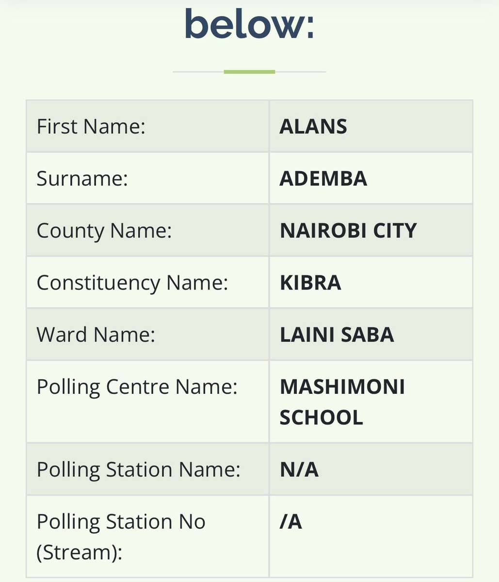
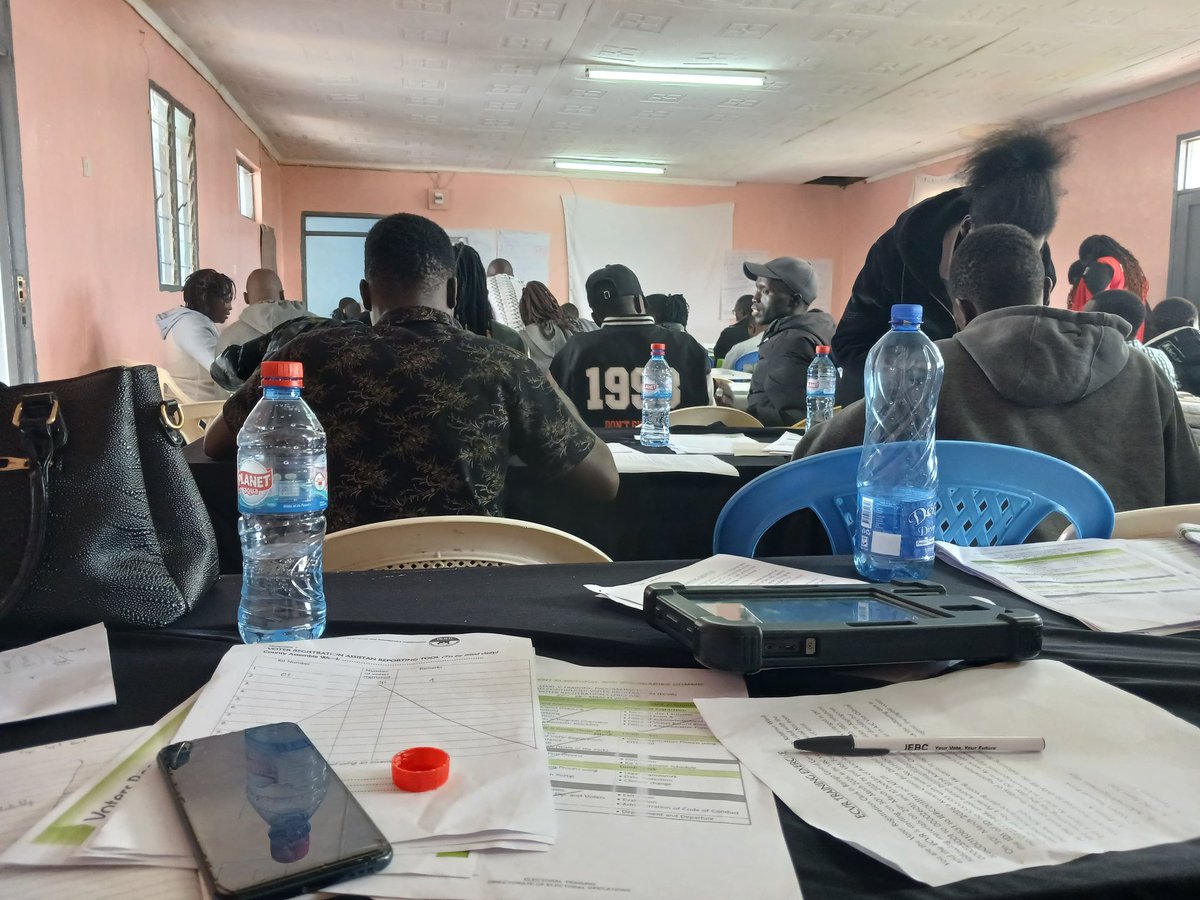
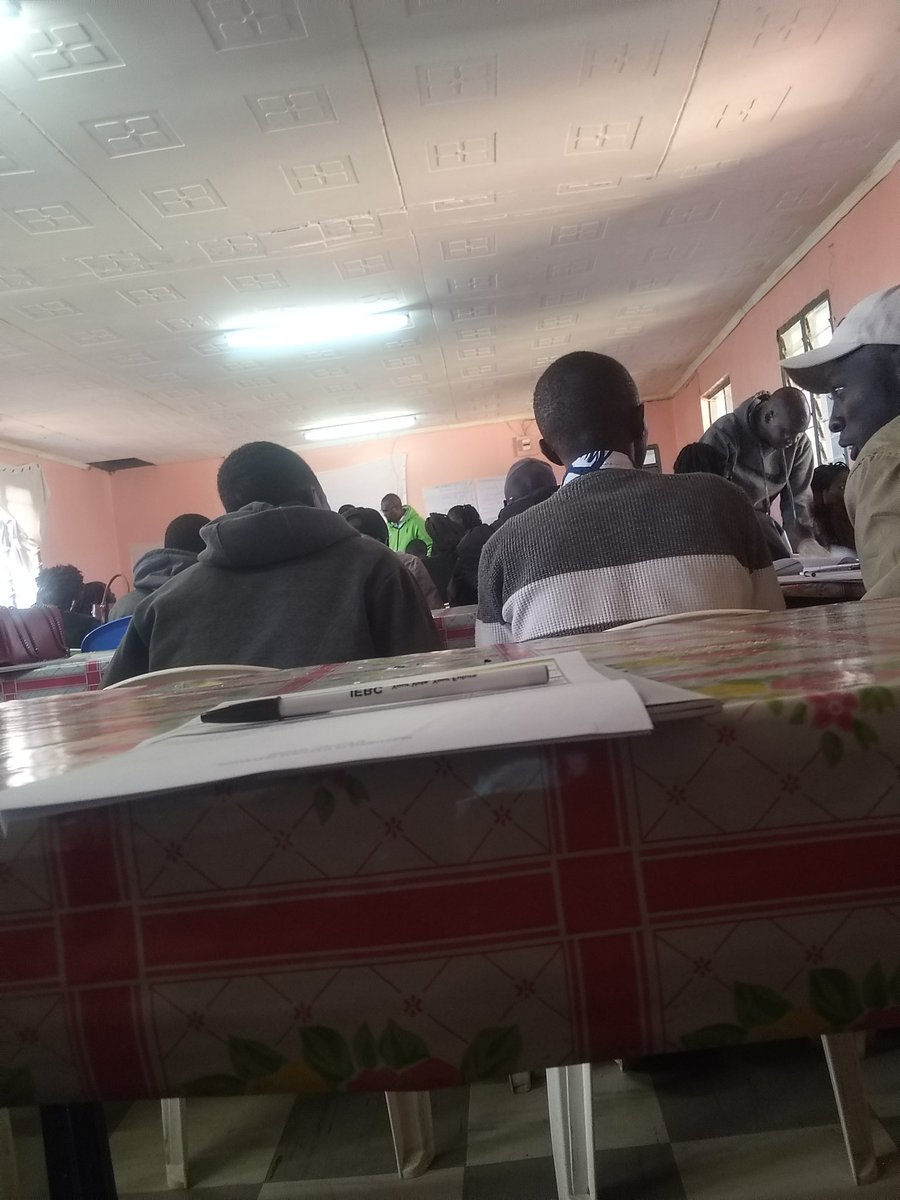
@Ademba_47 The voter is successfully registered in the system.
The polling centre is confirmed, but the exact stream/station number hasn’t been allocated yet
Voter numbers determine streams, Once total voters are confirmed, IEBC splits them into streams (usually ~700 voters per stream).
IEBC, unless mnataka vita, please explain to me: Mbona sina poling station na poling station number?
Na pia, if those who registered before 2012 voted in 2022, why do they need to register again?
Please explain to us as if you are talking to Karen Nyamu ama Sudi.
#LindaKadi
Mnipee crypto loaders bana .. Naona vijana huku inje wanarudisha 60% kwa Chinese, Taiwanese and Russian loaders ..wanaload hadi crypto accounts za Kenya..mtuchanue wadau
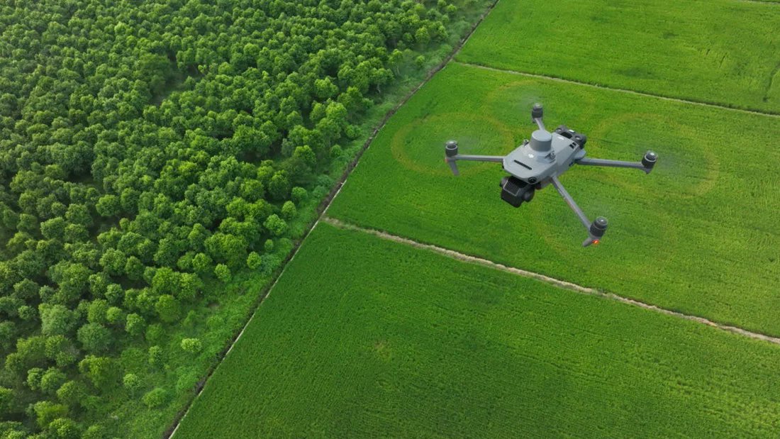
This is another unnecessarily regulated area. RPL costs 150k, exclusive of medical. This is for the Basic Multi-rotor rating. Without specializations like LIDAR mapping, Thermal imaging, and 3D Modelling. If you need to specialize with survey grade aircrafts, you will be paying more. You need daily flight permits from KCAA for every day you will be flying, ata kama ni 12-minute mission. The drone needs to be registered and have active insurance. Lately, if flying within some areas in Nairobi, you need to be accompanied by military personnel from the Kenya Air Force, na lazima utawachotea. Most drone data processing softwares are highly enterprise, with neck-breaking subscriptions buana. If operating a DJI drone and sensor, you will need a DJI Terra subscription for reconstruction and pre-processing of your imagery and LiDAR. That costs about USD $2,780 for one device in a year. Lazima pia ukue na custom build processing rig with high-end GPU and CPU and a lot of RAM to handle high-resolution image and point cloud graphics. In short, hii si ya wakulima wadogo😂😂😂
A licensed drone surveying course in Kenya costs KES 150,000.
But training alone isn’t enough. Under the Survey Act :
Give the Director 1 month’s notice before aerial mapping
The Director may request your imagery anytime
Wafadhili, the desire is there to advance surveying, but..