NWS Phoenix

63.8K posts

NWS Phoenix banner
NWS Phoenix

NWS Phoenix

@NWSPhoenix

Official X account for the National Weather Service Phoenix, Arizona. Details: https://t.co/lpOJj6JUjJ

Phoenix, AZ Katılım Mayıs 2012
362 Takip Edilen78K Takipçiler
NWS Phoenix
NWS Phoenix@NWSPhoenix·
As the outflow boundary moved out from under the clouds late this afternoon it became visible on GOES-East satellite due to the dust picked by the 30-40 mph winds. The dust was most evident in the West Valley and a little harder to see in the Southeast Valley. #azwx
GIF
English
0
11
48
2.5K
NWS Phoenix
NWS Phoenix@NWSPhoenix·
As the strong outflow boundary progresses across some of the outer areas of Phoenix, with more open desert, dust is being picked up. There is a definitive wall of at least light dust along the outflow. This cam is looking at the West Valley. #azwx
NWS Phoenix tweet media
English
0
10
36
2.4K
NWS Phoenix
NWS Phoenix@NWSPhoenix·
4:50 PM Radar: An outflow boundary is moving south through the Phoenix area with observed north-northeast wind gusts up to 35-45 mph. Secure any loose outdoor items. #azwx
English
1
5
44
2.8K
NWS Phoenix
NWS Phoenix@NWSPhoenix·
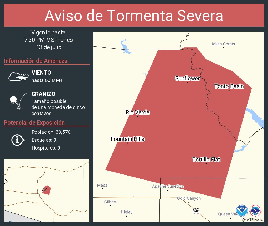
Aviso de Tormenta Severa continúa Roosevelt AZ hasta las 2:00 PM MST
NWS Phoenix tweet media
Español
0
1
5
1.9K
NWS Phoenix
NWS Phoenix@NWSPhoenix·
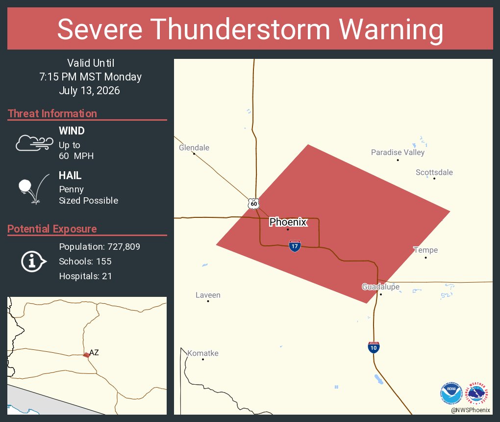
Severe Thunderstorm Warning continues for Roosevelt AZ until 2:00 PM MST
NWS Phoenix tweet media
English
0
0
16
1.8K
NWS Phoenix
NWS Phoenix@NWSPhoenix·
Aviso de Tormenta Severa incluye Roosevelt AZ hasta las 2:00 PM MST
NWS Phoenix tweet media
Español
0
0
10
1.6K
NWS Phoenix
NWS Phoenix@NWSPhoenix·
Severe Thunderstorm Warning including Roosevelt AZ until 2:00 PM MST
NWS Phoenix tweet media
English
0
0
11
1.6K
NWS Phoenix
NWS Phoenix@NWSPhoenix·
5/25/26 12:30 PM Radar: Scattered showers and storms are affecting much of the High Country and portions of Gila County. Gusty winds, lightning, and locally heavier rainfall will be the primary threats. If recreating, make sure to seek shelter if a storm is approaching! #azwx
English
0
4
29
3K
NWS Phoenix
NWS Phoenix@NWSPhoenix·
Due to increased cloud cover and moisture this morning, temperatures remained elevated and the low at Sky Harbor only dropped to 81 degrees. That is 9 degrees normal for this date and also sets a new record warm low, best the previous value of 80 set in 2001.
NWS Phoenix tweet media
English
0
4
29
1.9K
NWS Phoenix
NWS Phoenix@NWSPhoenix·
10:20 PM Radar: A shower is continuing northward through the Scottsdale area, riding a merger of the main outflow boundary and another boundary. The cell has become just strong enough to also produce a few lightning strikes and flashes. #azwx
English
7
6
50
3.6K
NWS Phoenix
NWS Phoenix@NWSPhoenix·
Blowing dust has made its way into the southeast Valley with visibility observed below 5 miles. This @ArizonaDOT cam near Mesa Gateway Airport shows the dust a short while ago. A lone shower is also keeping up with the outflow, moving along I-10 near Sun Lakes. #azwx
NWS Phoenix tweet media
English
0
9
46
3.8K
NWS Phoenix
NWS Phoenix@NWSPhoenix·
7:56 PM Radar: A long outflow boundary continues to progress northward with observed wind gusts between 30-40 mph and light showers are persisting behind the line. Blowing dust has been observed, mainly right along the boundary with visibility briefly dipping below 5 miles #azwx
English
0
6
37
3.4K
NWS Phoenix
NWS Phoenix@NWSPhoenix·
This @ArizonaDOT cam along I-10 in Eloy shows some localized dust being kicked up along the advancing outflow. Other cams show a lot of hazy conditions from the lofted dust. Please drive with care and be prepared for sudden brief drops in visibility across northern Pinal. #azwx
NWS Phoenix tweet media
English
0
8
29
5.7K
NWS Phoenix
NWS Phoenix@NWSPhoenix·
@48thStateisGr8 8-9 PM for the arrival of outflow winds into the southeast Valley (San Tan Valley - Queen Creek). Maybe a decaying cell with sprinkles makes it up to the Valley.
English
1
0
2
73
NWS Phoenix
NWS Phoenix@NWSPhoenix·
7:00 PM MST Radar: We’re tracking the showers and embedded storms across southern Pinal County. The activity is slowly pushing north and there are evident outflow boundaries moving north as well (blue lines). The outflows may produce 30-40 mph gusts and localized dust. #azwx
English
2
5
30
2.9K
NWS Phoenix
NWS Phoenix@NWSPhoenix·
High temperatures this afternoon were around seasonal levels, mostly in the middle to upper 90s. Phoenix Sky Harbor reached 100°F, 2 degrees above the daily average. #azwx #cawx
NWS Phoenix tweet media
English
0
5
20
2.4K
NWS Phoenix
NWS Phoenix@NWSPhoenix·
Early morning low temperatures ranged from the middle 60s across the cooler rural locations to middle 70s across the warmer urban areas. Afternoon high temperatures will top out in the mid to upper 90s across most locations, with some areas reaching the century mark. #azwx #cawx
NWS Phoenix tweet media
English
0
1
19
2.1K
NWS Phoenix
NWS Phoenix@NWSPhoenix·
Isolated showers & t-storms will be possible across SE AZ late afternoon/evening with the potential for gusty outflow winds & dust as far northwest as parts of Phoenix. Can't completely rule out a few showers nearing the Phoenix area, but measurable rain is very unlikely. #azwx
NWS Phoenix tweet media
English
1
3
22
2.7K
NWS Phoenix
NWS Phoenix@NWSPhoenix·
[May 23, 2026] High temperatures this afternoon were once again in the middle to upper 90s across the lower deserts. #azwx #cawx
NWS Phoenix tweet media
English
1
5
20
2.4K
NWS Phoenix
NWS Phoenix@NWSPhoenix·
The morning low this morning at Sky Harbor was 74 degrees, 2 degrees above normal for this date. More outlying areas saw readings anywhere from the middle 60s to lower 70s, and similar values can be expected the next few mornings. #azwx
NWS Phoenix tweet media
English
0
2
21
2K