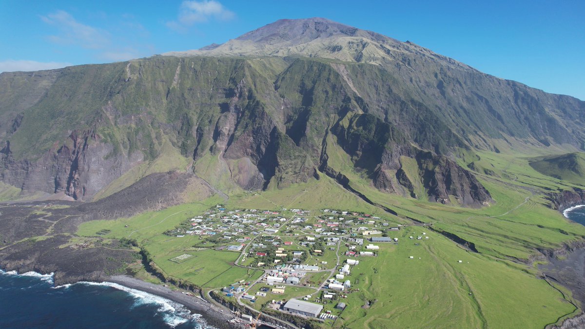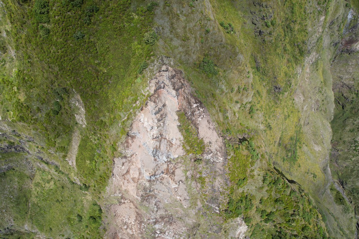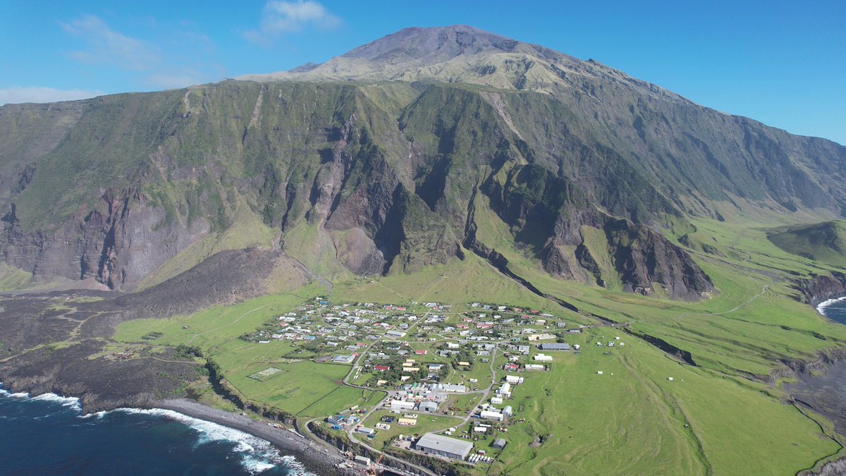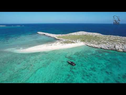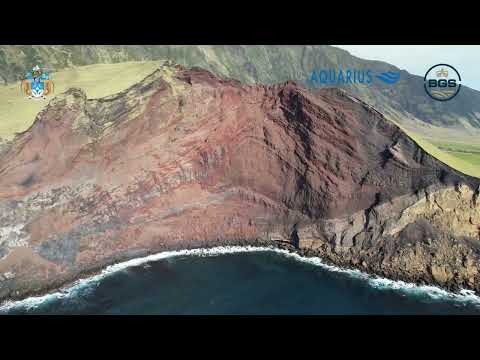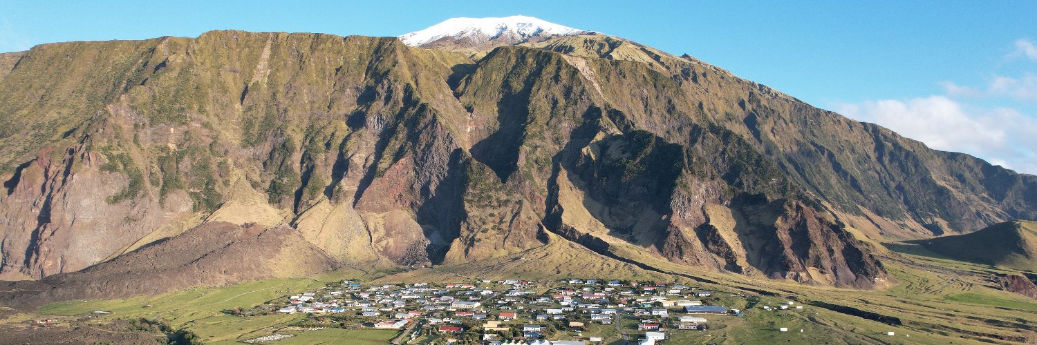

As we near the end of our #Landslides project Phase II, you can experience a high-res flythrough of Tristan da Cunha’s northern slopes - generated from 3,195 drone images. Visualize Dockel Gulch - a key source area of recent large #debrisflow & flooding events. #TristandaCunha

English