Sabitlenmiş Tweet
Nearmap Australia
1.7K posts

Nearmap Australia
@NearmapAU
Nearmap is a location content company that provides the information you require for the job at hand. It’s better than being there!
Australia Katılım Nisan 2014
229 Takip Edilen1.3K Takipçiler

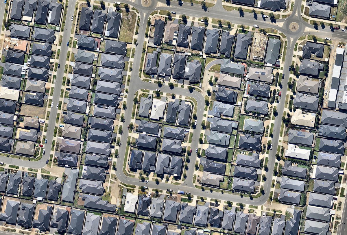
Australia's major cities are expected to grow exponentially in the next few decades with Melbourne predicted to overtake Sydney in size by 2050.
Learn how smart city planning is critical to improving the #liveability of our cities in our latest blog: bit.ly/2tbpBKO
GIF
English
Our CEO Rob Newman recently spoke to Nearmap partner @ngis_australia about the democratisation of aerial imagery & how #MachineLearning will impact the industry.
Catch the full Location Matters podcast here: bit.ly/2yJf7bV

English
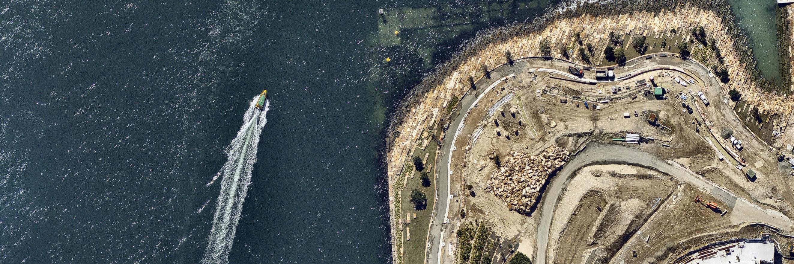
The #NSWBudget earmarked $250M+ for the construction of the #ParramattaLightRail in Sydney’s west. Read more @TheUrbDev: bit.ly/2I3ep8H
Learn how aerial imagery can ensure projects like this are planned & delivered successfully: bit.ly/2Gd5KQ1
English
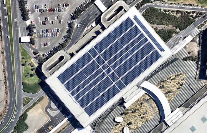
We are pleased to announce that we have partnered with cloud-based solar design platform @GetPylon. The integration of our industry-leading products will help solar businesses convert more leads & grow their business.
Learn about our partnership here: bit.ly/2MvvXxM
English
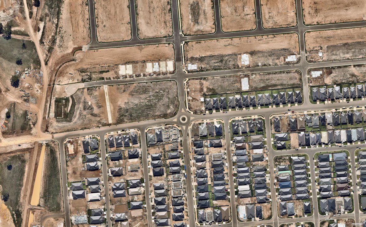
Research by @HIA_au revealed 12 of Australia's top 20 housing construction hotspots were in Melbourne in the last financial year. Read more in @BIAUS: bit.ly/2JJbweN
Learn how Nearmap is helping construction companies simplify decision making: bit.ly/2Gd5KQ1
GIF
English
Nearmap Australia retweetledi
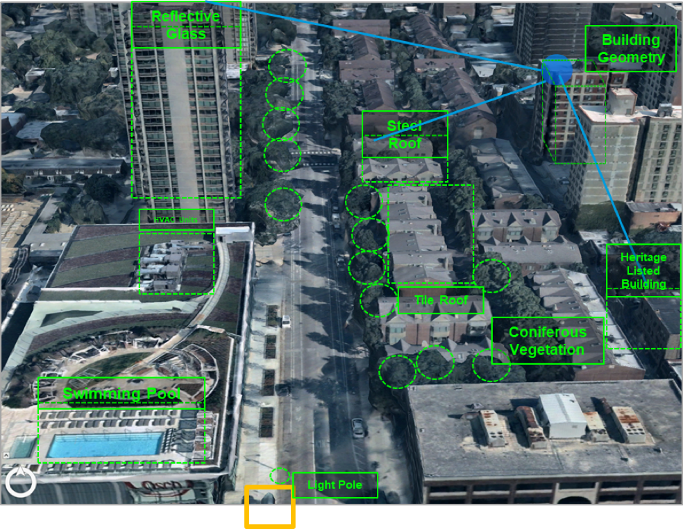
#5G is coming. Do network engineers have the right location data to support an effective rollout? Read our latest blog to find out how next gen high-res #3D #geodata can help engineers deliver robust networks on deadline: bit.ly/2JAjjyZ
English
The @UDIANational calls for housing targets to tackle #Melbourne's #population boom. Read more in @theheraldsun: bit.ly/2HojpUV
Nearmap's aerial imagery helps developers analyse the change of residential sites over time to plan new developments: bit.ly/2Gd5KQ1
English
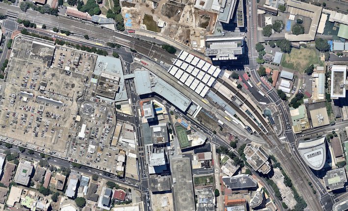
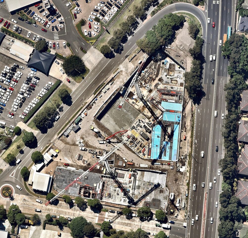
Undertaking a major construction project? Aerial imagery is an invaluable tool to get faster DA approvals & quotes. Learn how Nearmap customers like @SekisuiHouseAU leverages location intelligence to reduce site visits & streamline project management: bit.ly/2LwvmdG
English
The #countdown continues! Only three weeks until we join forces with our global Twitter account @Nearmap. Get on board and follow @Nearmap before 1 July! #3weeks #nearmap
English
#5G is set to hit the market by 2020! Next gen network planning requires next gen data. Learn how high-res 3D #geodata enables 5G networks in our latest blog: bit.ly/2JAjjyZ

English
Aerial imagery is simplifying risk assessment for #construction projects. Nearmap is transforming how construction & engineering companies monitor & validate major projects. Learn how here: bit.ly/2HF9NXO
English
Perth's @OptusStadium is the 2018 winner of the Australian Construction Achievement Award. Read more in the @WestAustralian: bit.ly/2kCeFSO
Learn how Nearmap can help construction & engineering companies bring major projects like this to life: bit.ly/2Gd5KQ1
GIF
English
The @ABSStats revealed that completed engineering projects have increased by 1.5 per cent last quarter. Read more in @SBS: bit.ly/2IYLbwm
Learn how Nearmap is helping construction & engineering companies save time & work smarter: bit.ly/2Gd5KQ1
GIF
English
The #countdown is on! In one month, we'll be joining forces with our global Twitter account @Nearmap. Jump across and follow @Nearmap before 1 July! #onemonth #nearmap
English
Catch the recording of our latest webinar to learn how you can leverage aerial imagery to analyse locations & scale your business faster: youtu.be/YUo5LY3vxc8

YouTube
English