Sabitlenmiş Tweet

Last call for our #webinar on 7th of July at 10:00 am (PST). Join more than 400+ mining professionals like yourself who have already registered!
#mine #surveying #errors #lastcall
edumine.com/mine-site-surv…
English
PhotoSat
186 posts
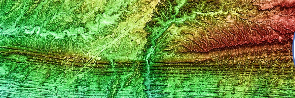
@PhotoSat_Info
PhotoSat is the world leader in survey accuracy from satellite data. We provide engineering quality surveys at better-than 15cm vertical accuracy.