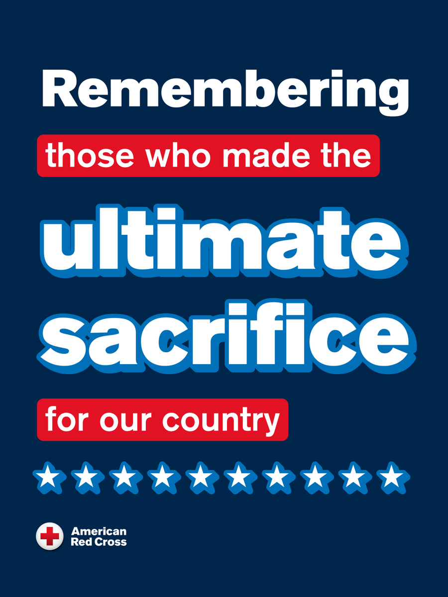
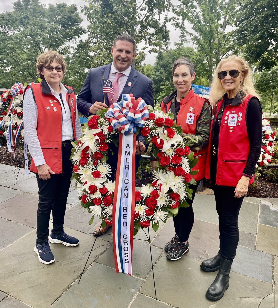

Red Cross NCGC
18.9K posts

@RedCrossNCGC
Official Twitter for the #RedCross of the National Capital & Greater Chesapeake Region. Acct. not monitored 24/7. 🚨1-800 Red Cross 🩸https://t.co/TCicOYTqZI


NEW: Tornado watch issued for entire area until 7 p.m. The National Weather Service has issued a tornado watch for the entire region until 7 p.m. Remember that a watch means ingredients are in place for tornadoes, not a guarantee. But if a tornado warning is issued for your location, it means a rotating storm was indicated by radar or that an actual tornado was spotted and that you should seek shelter immediately. Multiple tornado warnings have already been issued today, including one active in eastern Loudoun County until 11:30 a.m.

Dangerous storm outbreak could slam D.C. area Monday; tornadoes possible An intense storm system could bring widespread and severe thunderstorms to the D.C. region on Monday, capable of producing violent wind gusts, hail and tornadoes in addition to torrential rain and lightning. The National Weather Service has declared a rare Level 4 out of 5, or “moderate,” storm risk, meaning severe storms that are expected to be widespread. This is the first instance of this risk level in more than two years. The storms’ timing still needs to be pinned down, but they are most probable between about 1 and 7 p.m. Monday, when an organized and violent squall line is expected to pass. That said, widely scattered showers and storms, some of which could be intense, are possible before this window, as early as 9 or 10 a.m. Rain is expected to linger after the most intense storms pass in the evening. The fast-moving storms along the squall line and possible hurricane-force wind gusts could topple trees and power lines, leading to outages. Expect travel disruptions and flight delays and avoid driving when the worst storms are passing. (1/3)


