@politicianpages Summary:
Grown man with mental disorder is telling you how you will live your life and extend the power of the state.
English
SapperOnMain
354 posts

@SapperOnOBJ
I laugh at retards on the Internet | W40K haver | Technology Enthusiast | I hope everyone has a good war | The great noticing


In last 126 years white people have gone from 36% to 8%.


🪖🇺🇦 Capture of men by military recruiters in Ukraine: 2 buses come to different sides of the street (to make sure the guy won't run to the other direction), 5 recruiters catch him on the playground for kids and flee from the place Great tactics!..


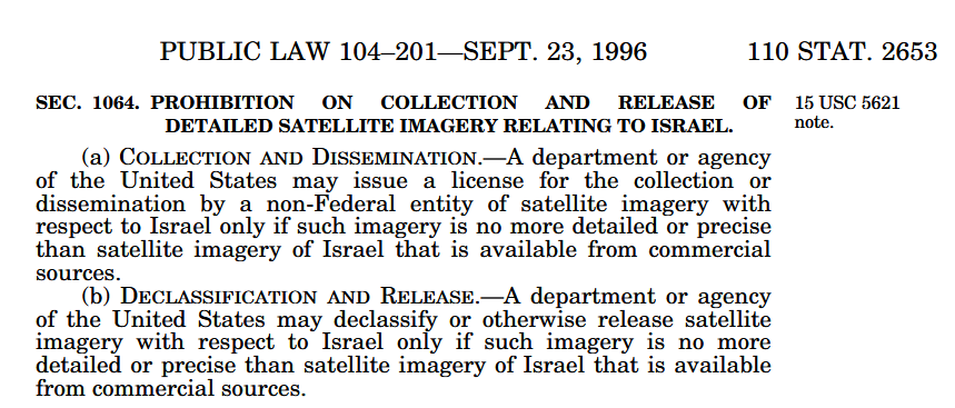
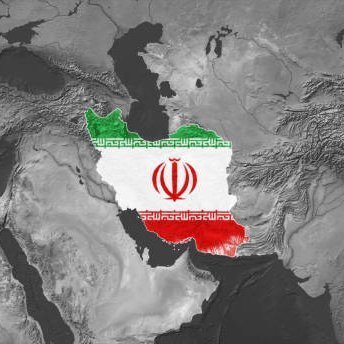
Many people have asked why satellite imagery showing damage in Israel isn’t available on our platform. This is primarily due to limitations in the available satellite data, along with current restrictions in place during this conflict. Large-scale damage in Iran is often visible in freely available satellite imagery due to its scale, for example, impacts on airbases, industrial facilities, or extensive smoke plumes. In contrast, impacts in Israel have been reported to be typically smaller and more localized, often affecting individual buildings or streets, which usually fall below the resolution of free satellites which we use such as Sentinel and Landsat. Open source satellite imagery collected by the likes of the European Space Agency and NASA have a coarser resolution compared to commercial imagery providers including Airbus, Planet, and Vantor. This means much of the damage can be difficult to detect unless it occurs at a larger scale, for example, smoke from airstrikes can be clearly visible from space over long distances, whereas smaller incidents may not appear in freely available imagery. Detecting this level of detail requires high-resolution commercial imagery, which is currently restricted or delayed by major providers in this area during the conflict, something that is unfortunately beyond our control. In saying this, we highly encourage anyone to explore and investigate areas of interest using the free tools available on Soar Atlas. We’re also always open to community suggestions. Our community has done some incredible investigations and we hope our tools help make those findings easier to share. We do not take sides. Soar Atlas exists to make satellite imagery and mapping a more transparent, accountable, and a trusted source of information for everyone. We continue to hope for peace for all 🕊


@GooningOnRumble I didn't start the rumour either. Here's a guy asking about it more than 10 minutes before I ever said it.


in Minecraft snapshot 12w04a, if you change your language to Afrikaans and then go back to the title screen, the game will call you the gamer word. the snapshot got removed from the version select screen but archives can still be found to this day