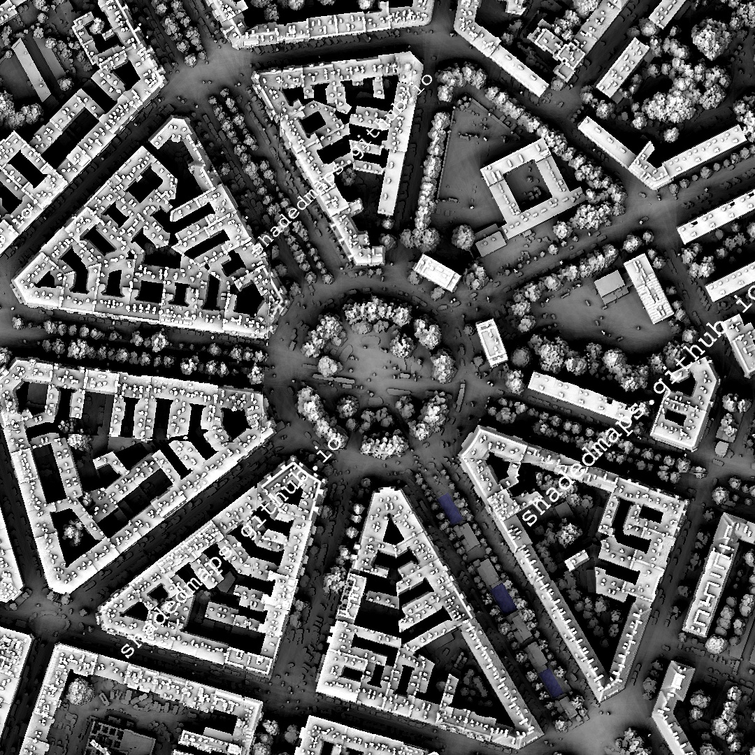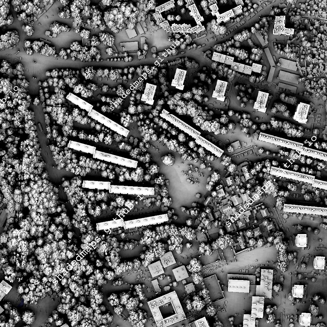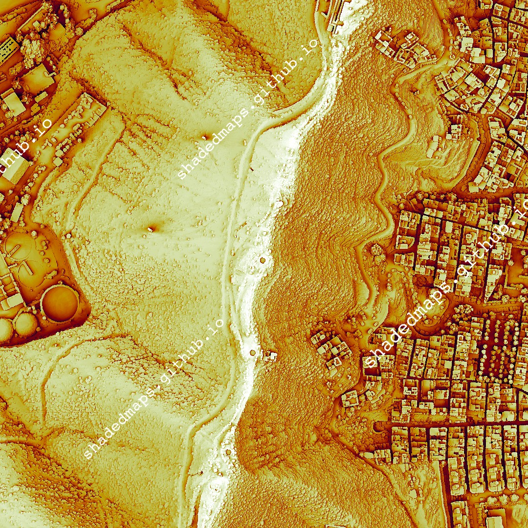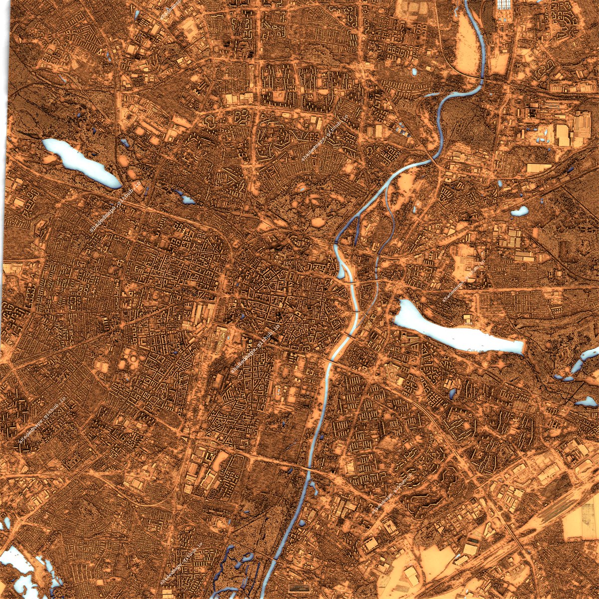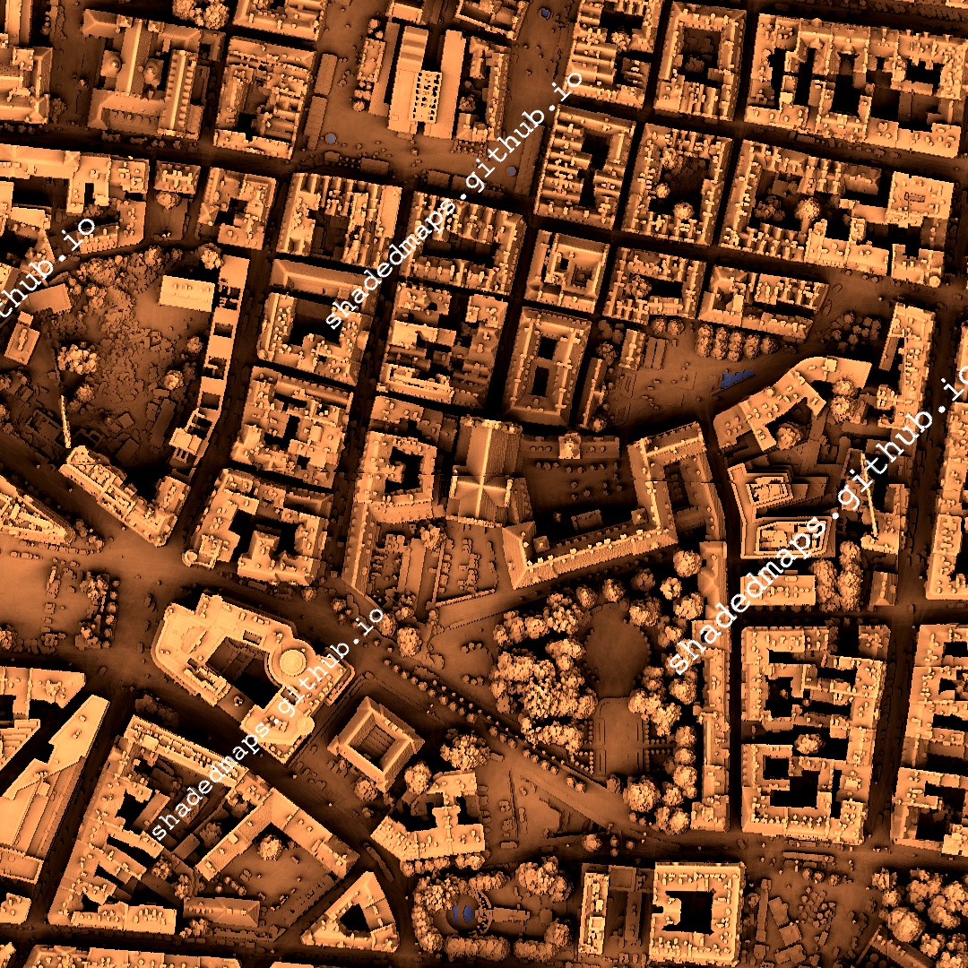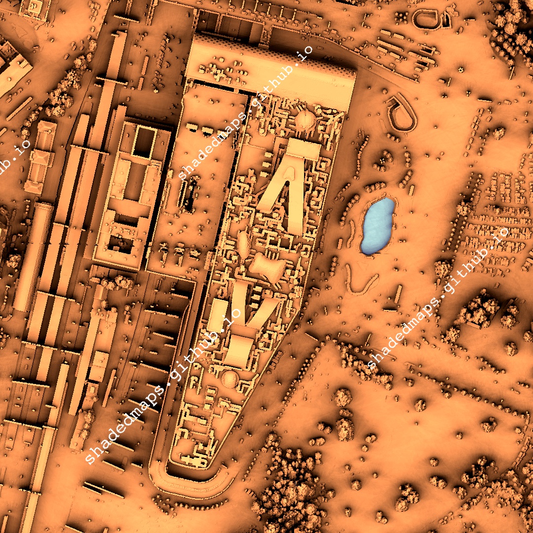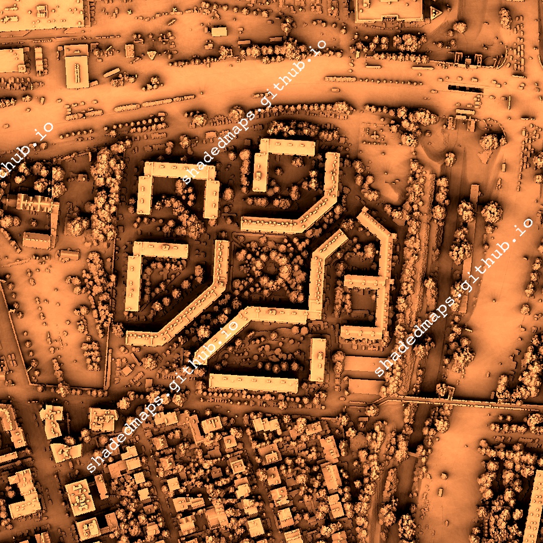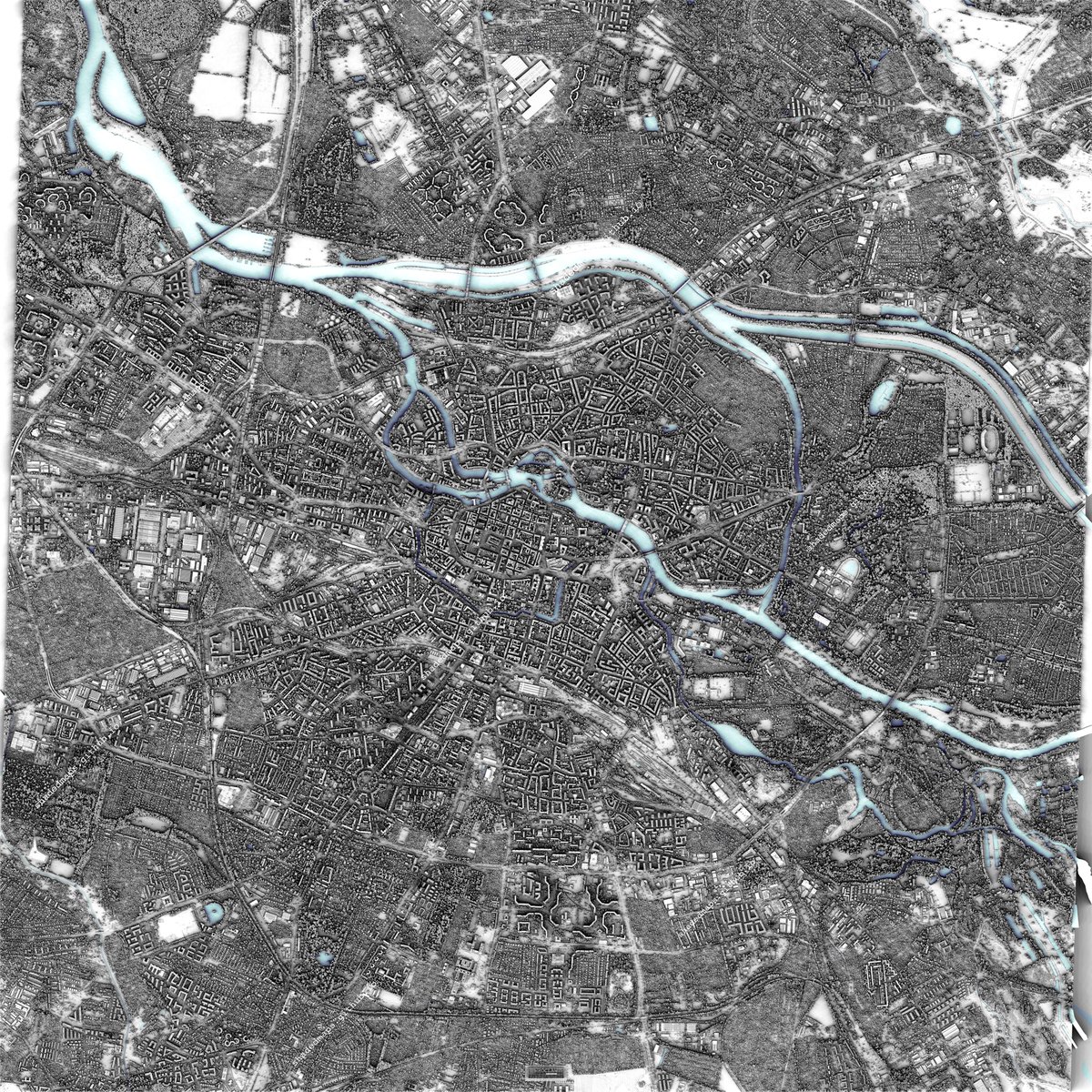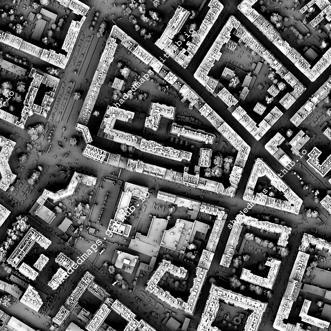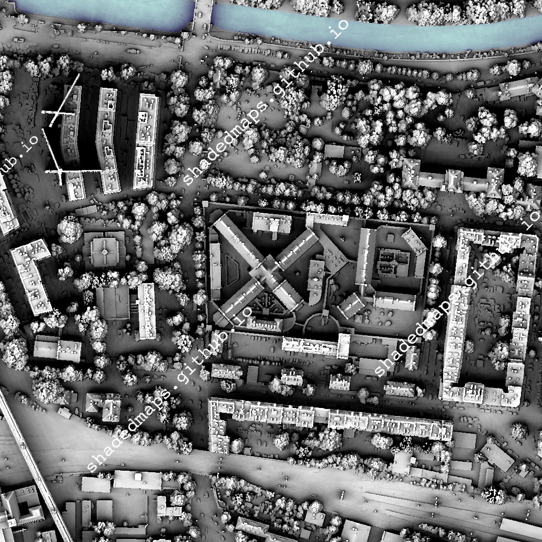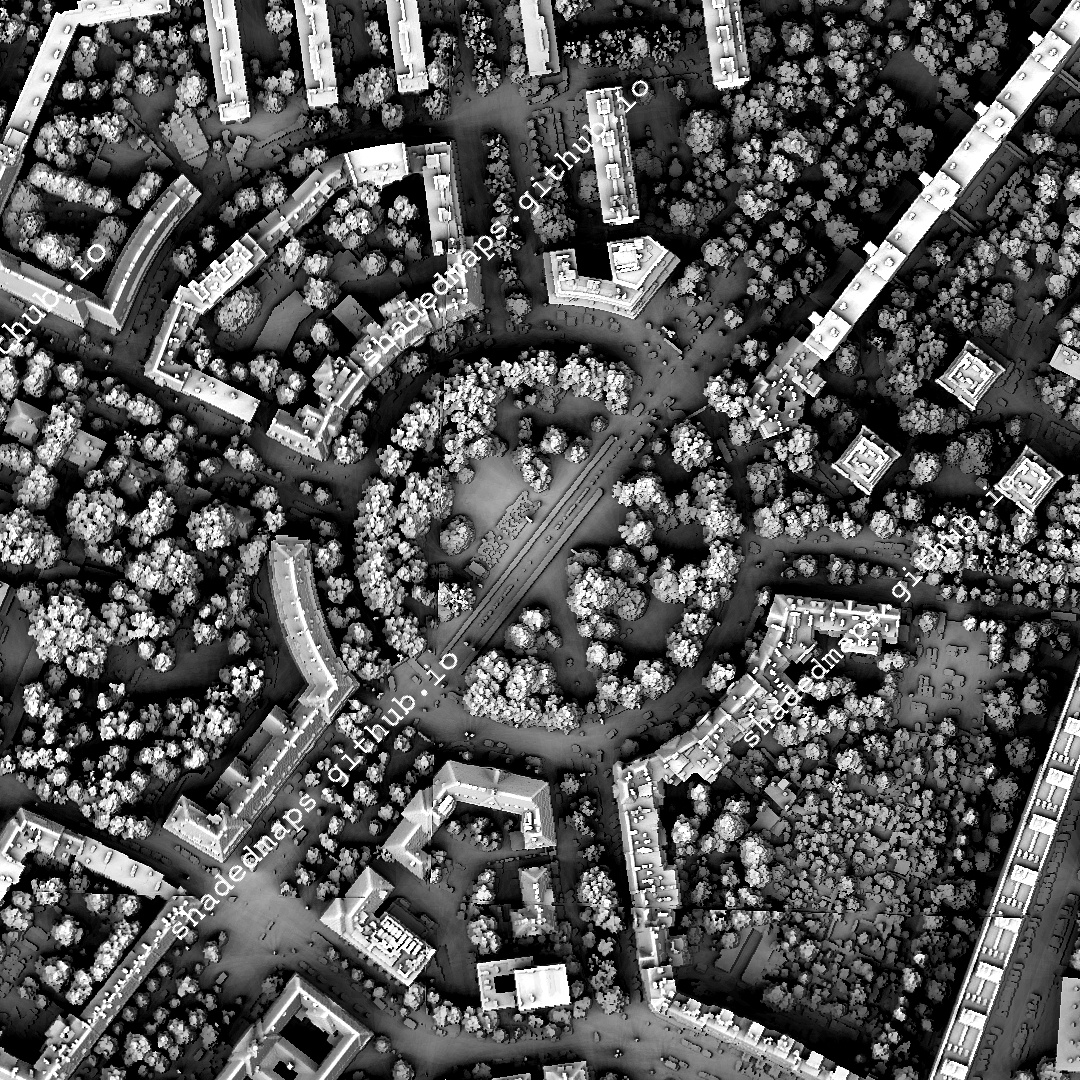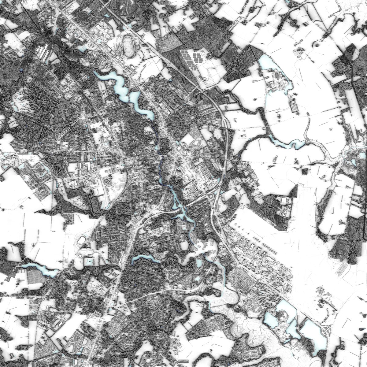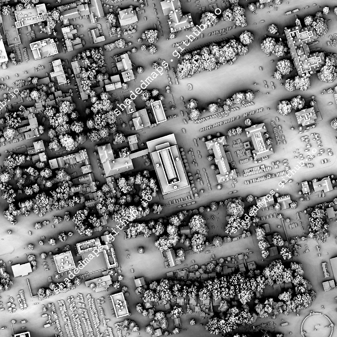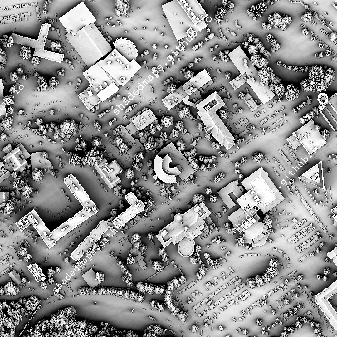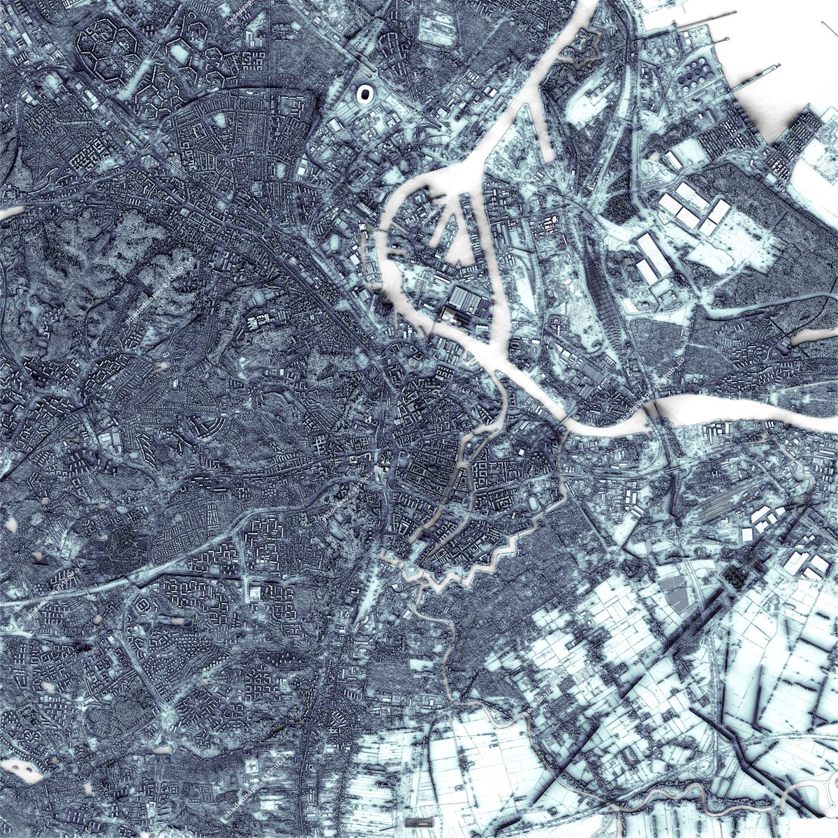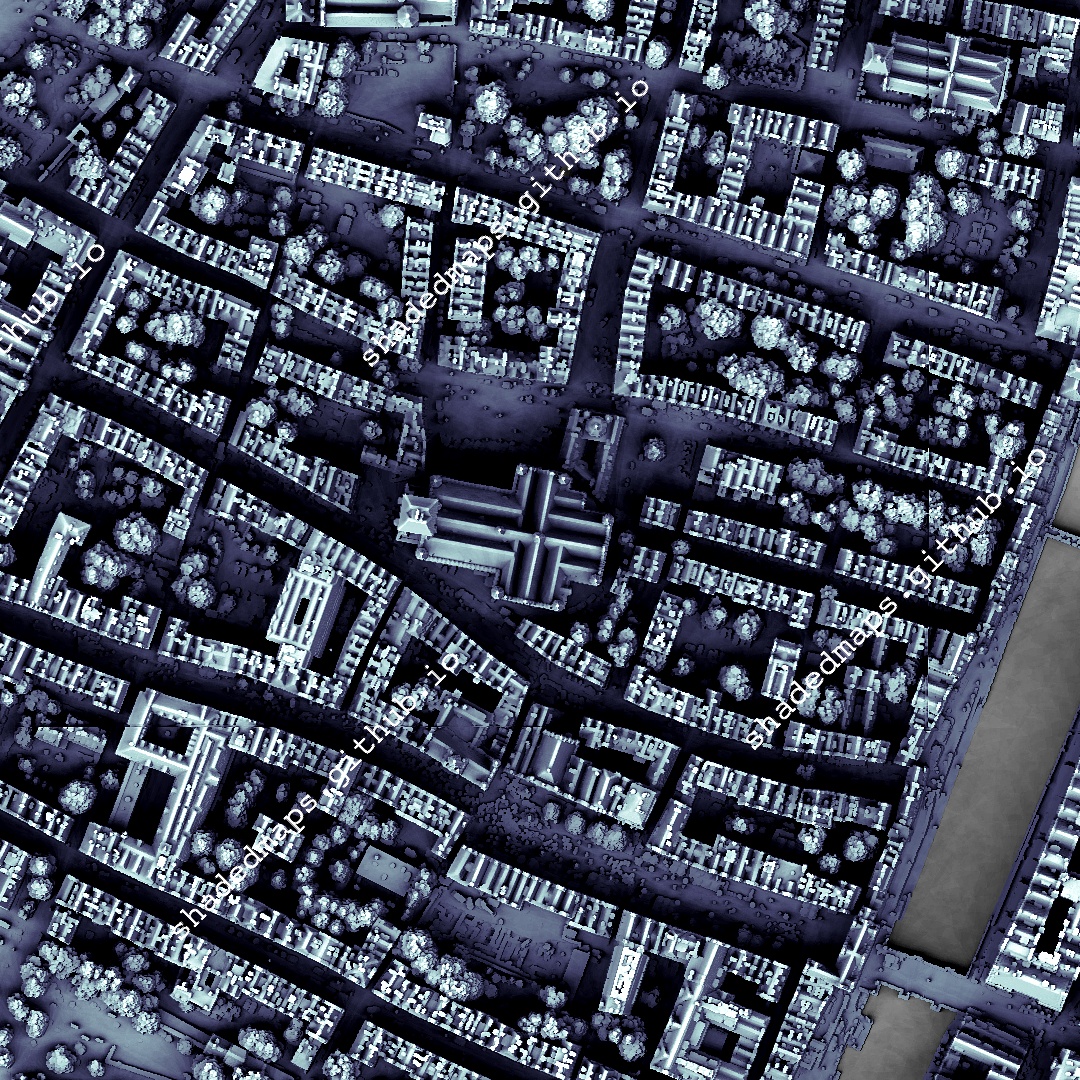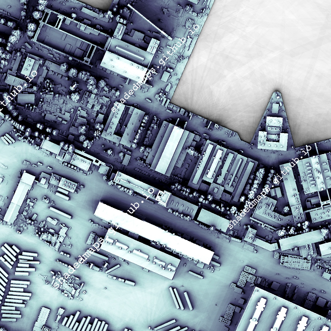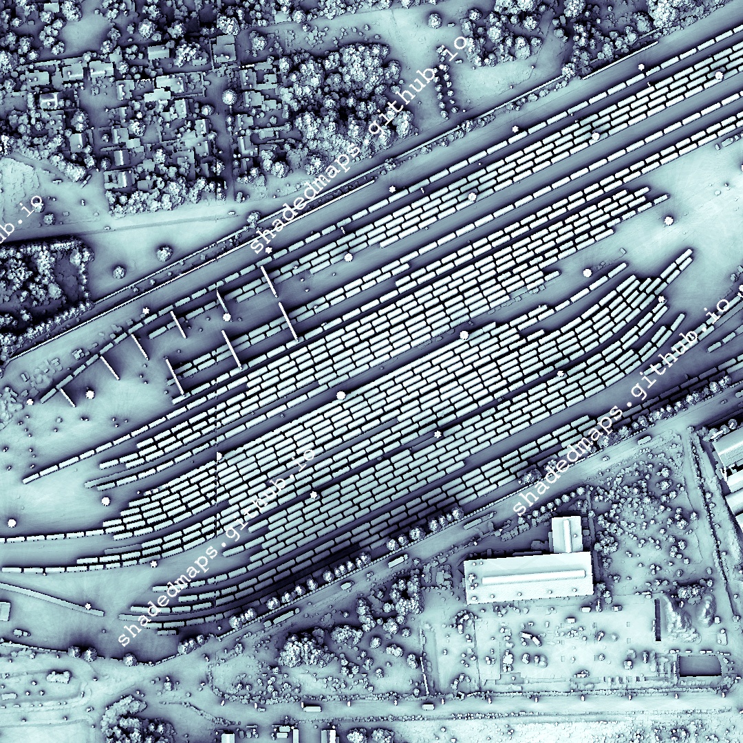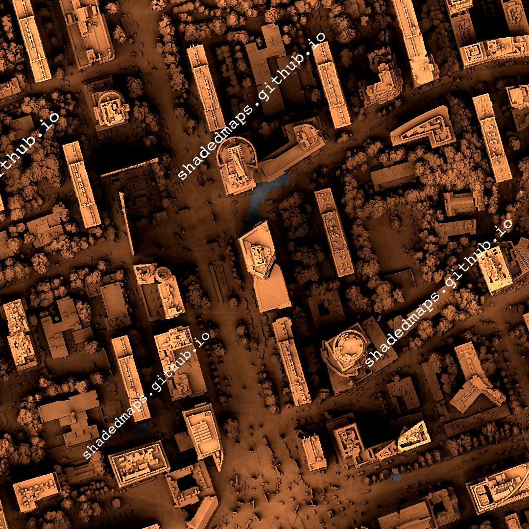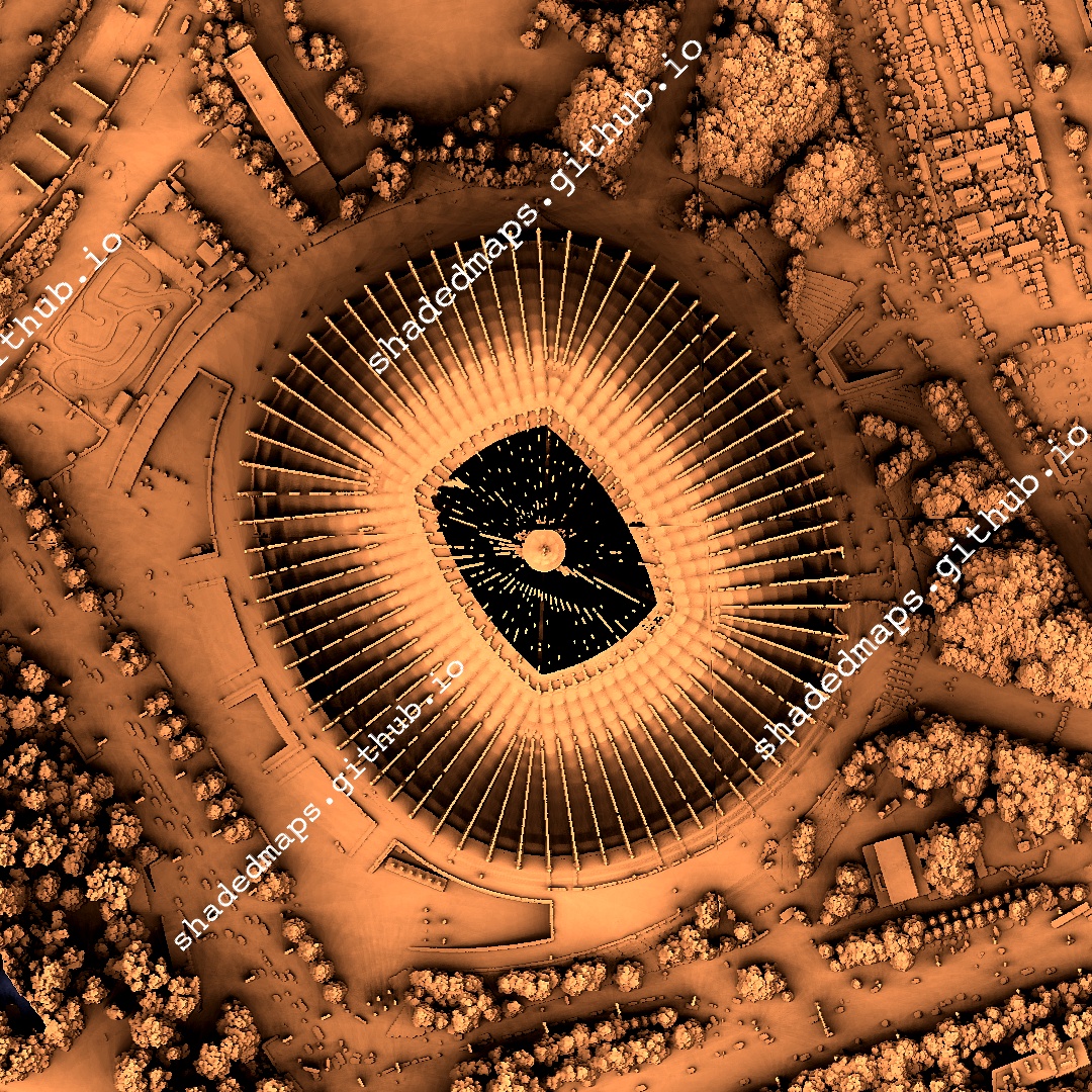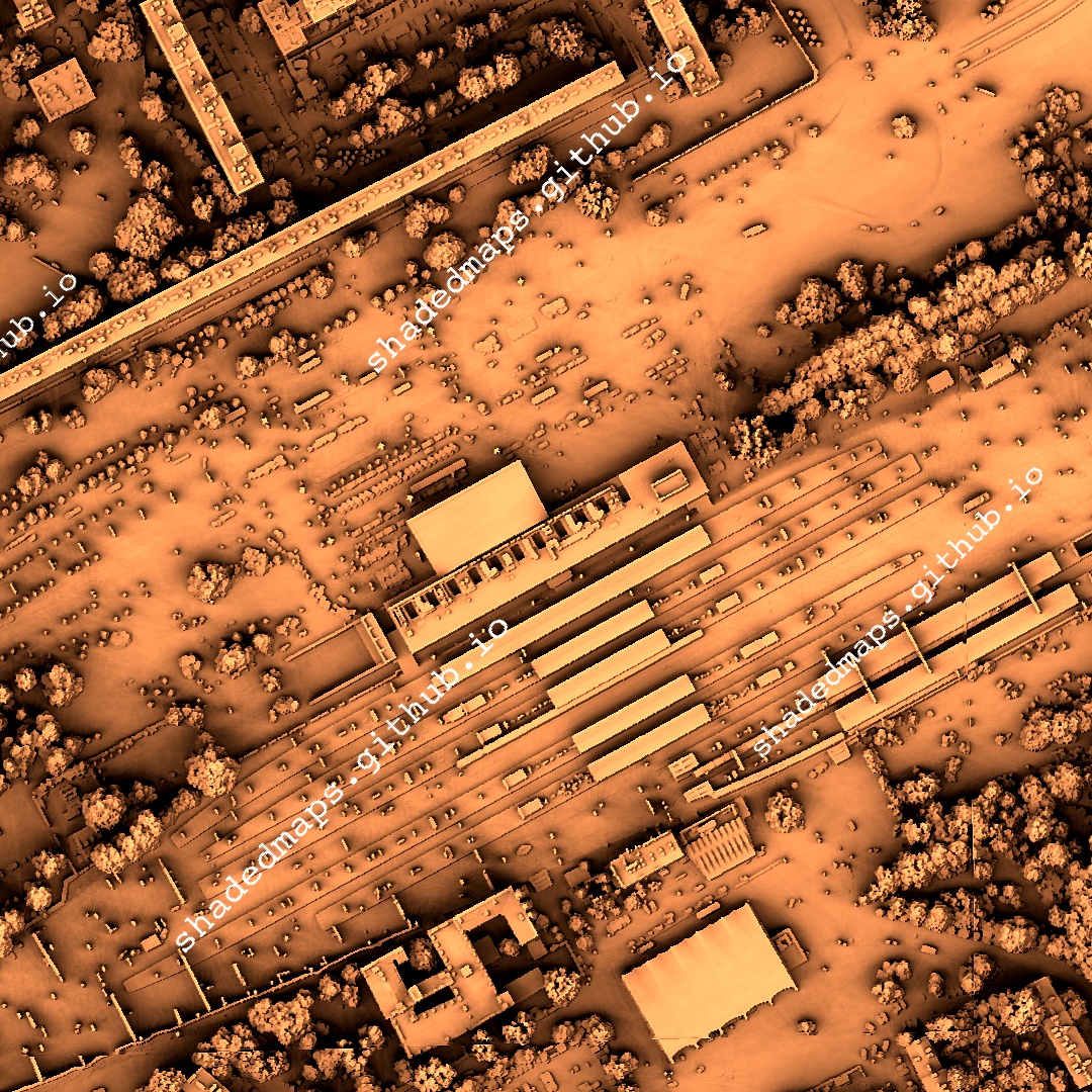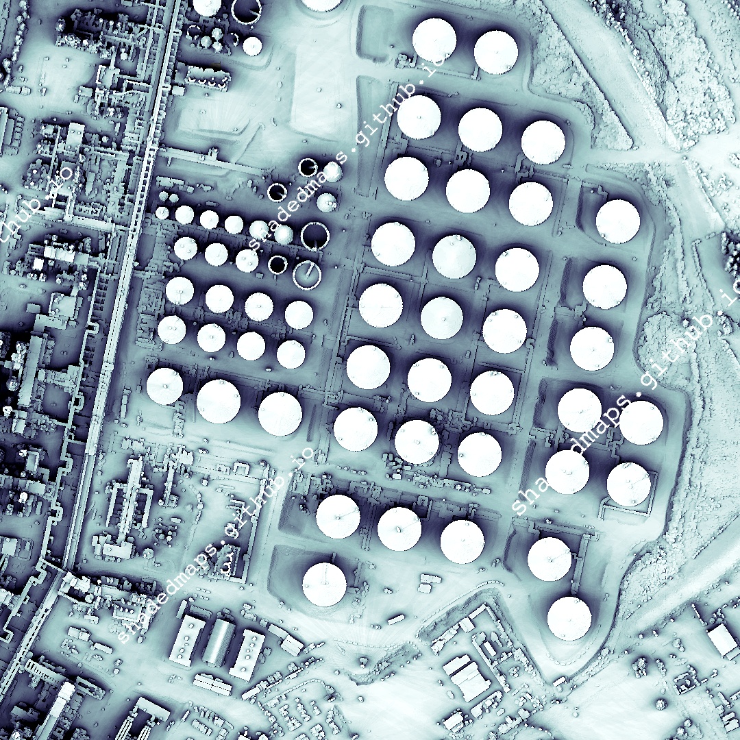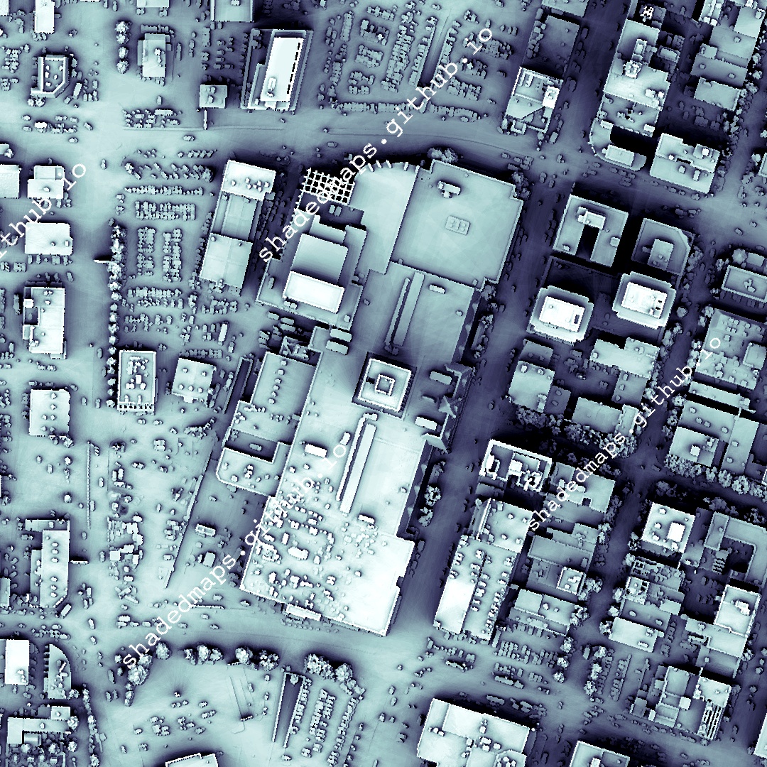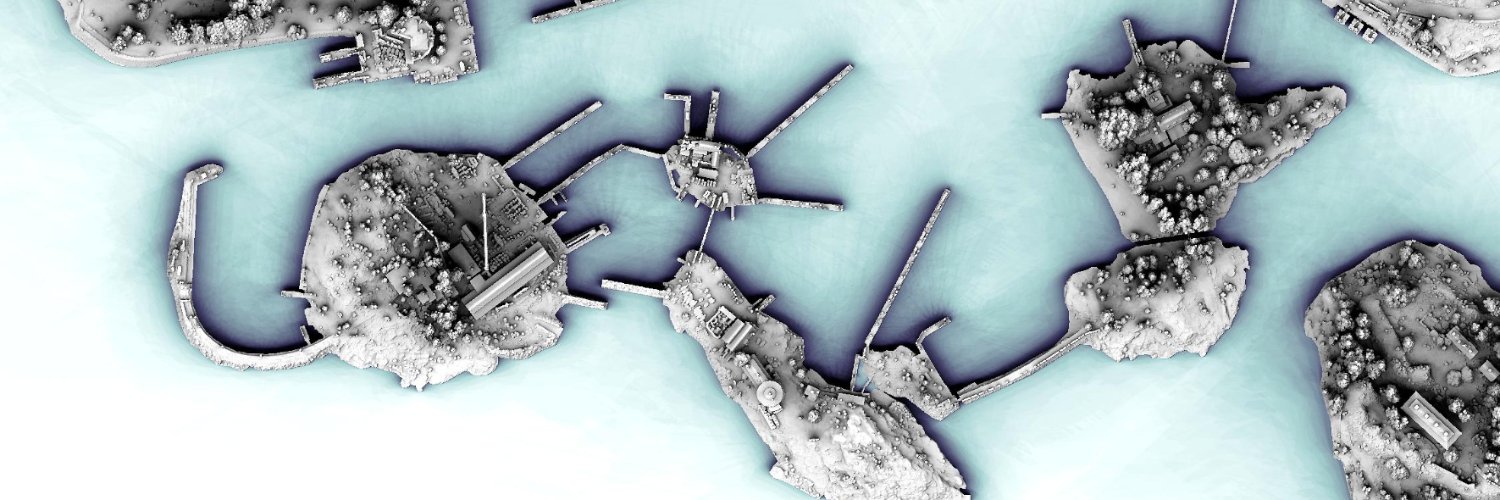

Diagonal panning video from a very detailed shaded map of Szczecin, Poland. The full map is 20000 x 20000 pixels with 0.5 m resolution and is available at shadedmaps.github.io
Data source: geoportal.gov.pl [Head Office of Geodesy and Cartography].
#maps #shadedrelief
English