SkyTrade
1.8K posts


SkyTrade
@SkyTradeNetwork
Govern and Monetize Low-Altitude Airspace. Backed by: @modular_capital @portalventures @solanafndn @ZeePrimeCap
Earth Katılım Nisan 2024
368 Takip Edilen64.7K Takipçiler
The U.S. DOT is ready to hand cities millions in SMART Grants for drone infrastructure.
But municipalities cannot claim the capital if outdated local zoning blocks the construction.
#smartcities #economicstrategy #govtech

English

The Nashville Police Department just launched a DFR program from their precinct roof. But is your station legally cleared for takeoff?
A flat roof isn't enough. Hidden obstacles like HVAC units can violate FAA rules and ground your fleet.
#publicsafety #smartcities #urbanplanning

English
Two Florida airports unveiled aggressive air taxi infrastructure plans in the exact same week.
Tampa wants a multimodal hub. Orlando projects 22 daily flights to theme parks by 2028.
The question isn't whether AAM is coming it's whether your city's infrastructure is legally ready
#aam #commercialrealestate #govtech

English
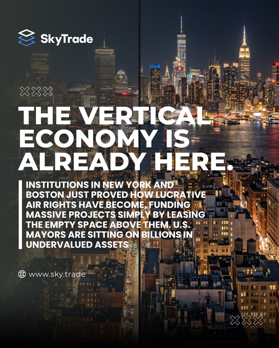
U.S. Mayors are sitting on billions in undervalued assets. This week, institutions in New York and Boston proved exactly how lucrative air rights have become.
A seminary in NYC just sold its unused air rights to fund a 40-story tower.
#municipalrevenue #commercialrealestate #economicstrategy
English


Police departments are now using DFR programs to clear over 20% of 911 calls without ever dispatching a cruiser.
The efficiency is staggering, but it requires distributed, FAA-compliant rooftop launch nodes to work.
#publicsafety #smartcities #urbanplanning

English
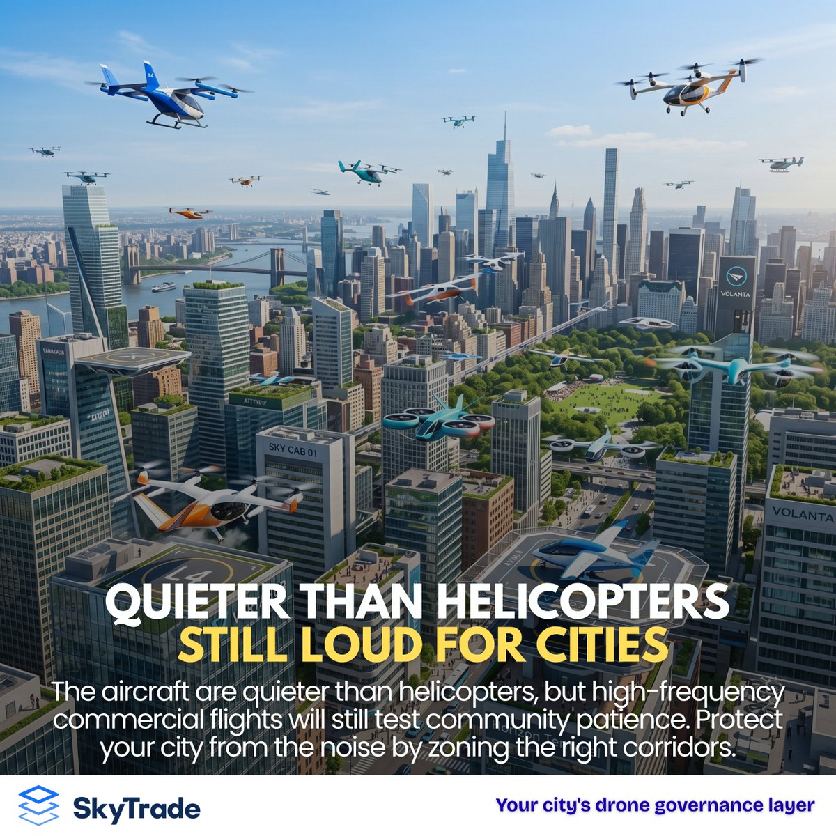
The National Aeronautics and Space Administration (NASA) has officially released its urban acoustic testing data for air taxis.
The aircraft are quieter than helicopters, but high-frequency commercial flights will still test community patience. Protect your city from the noise by zoning the right corridors.
#govtech #smartcities #urbanplanning
English
Can your municipal buildings support the grid? urban.sky.trade
English