@MJC__JR Those areas are in our plans and we are flying today, though I do not know today's exact plan. The images will then need to be processed and uploaded - it can take hours or even overnight. The map will be updated immediately, you will see another layer in the upper right.
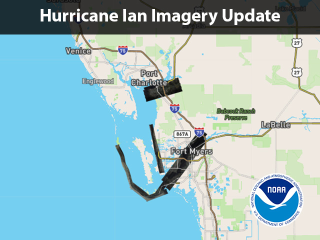
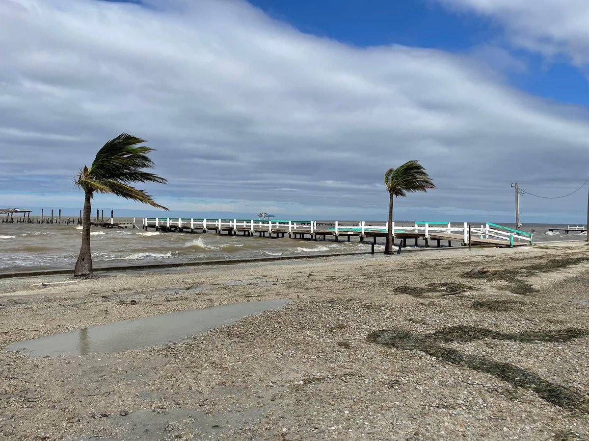
We've started flying over communities affected by Hurricane Ian to assess the damage. Our first flight covered Punta Gorda and portions of Sanibel Island, Cape Coral, and the Caloosahatchee River up to I-75. The first images are available here: #9/26.8289/-81.7538" target="_blank" rel="nofollow noopener">storms.ngs.noaa.gov/storms/ian/ind…