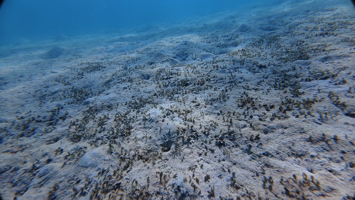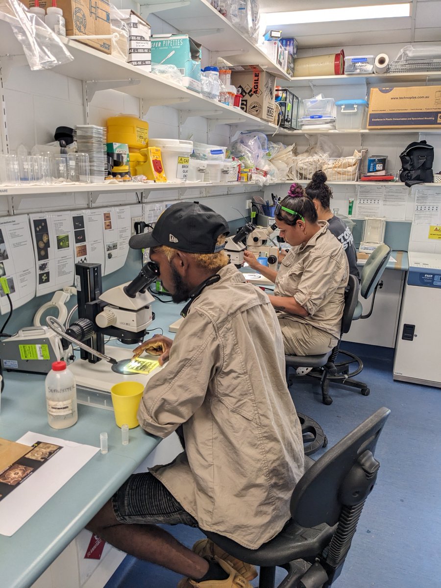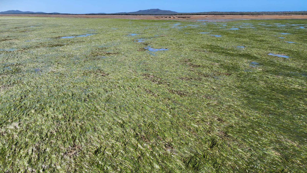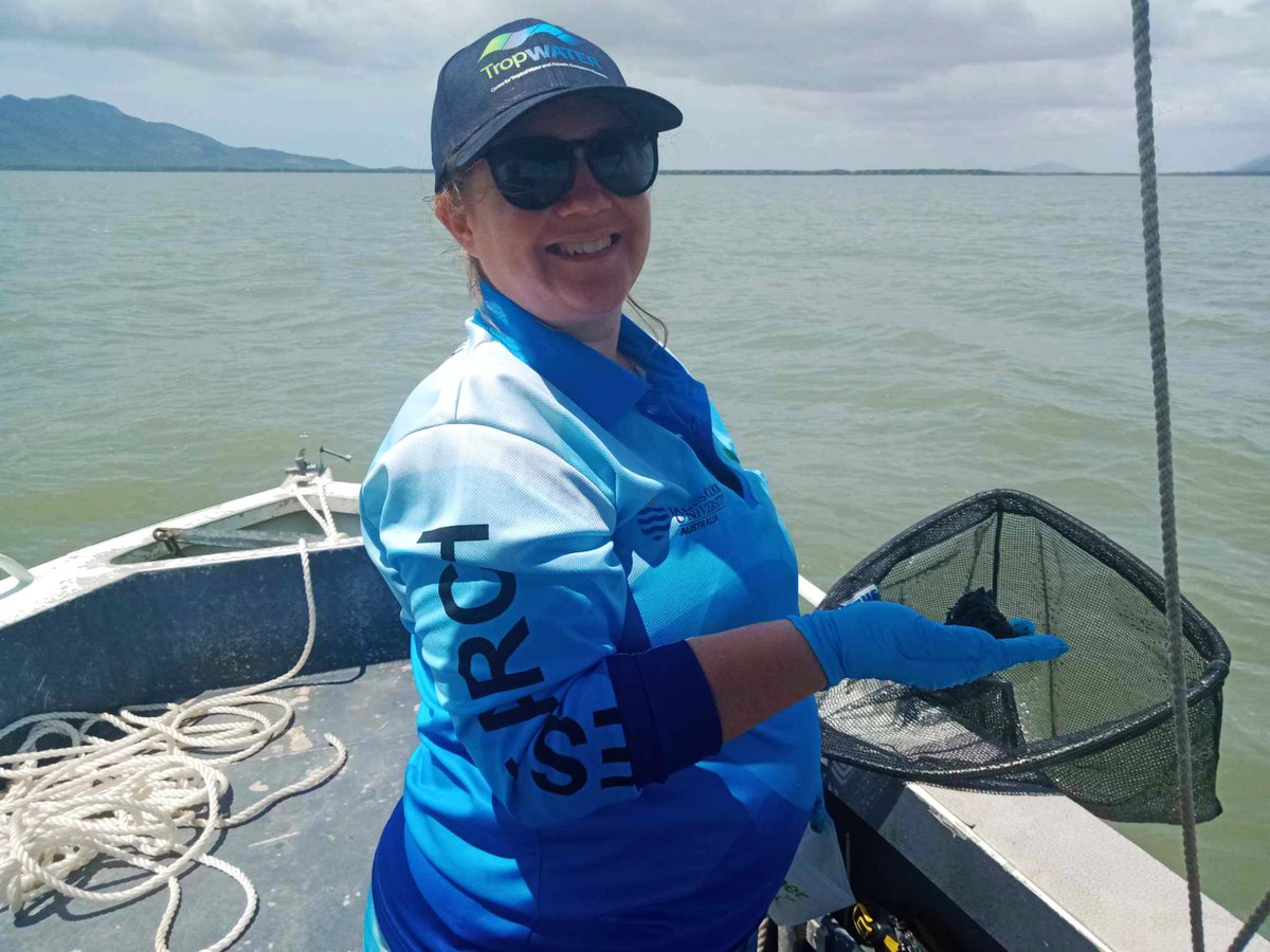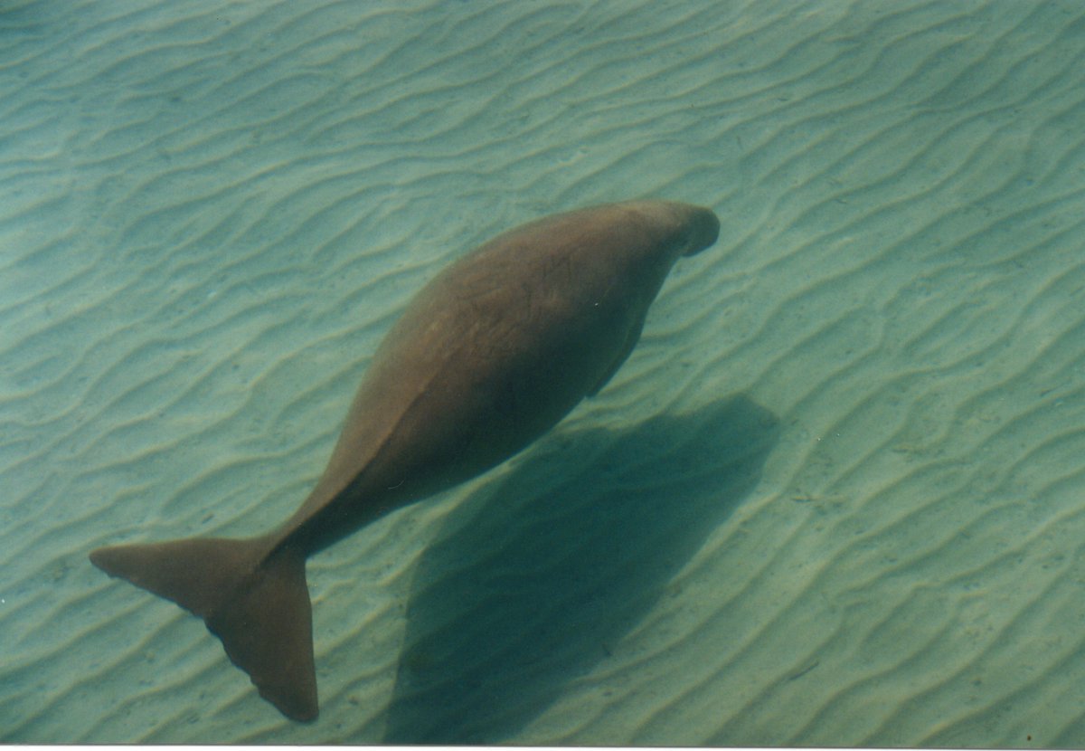

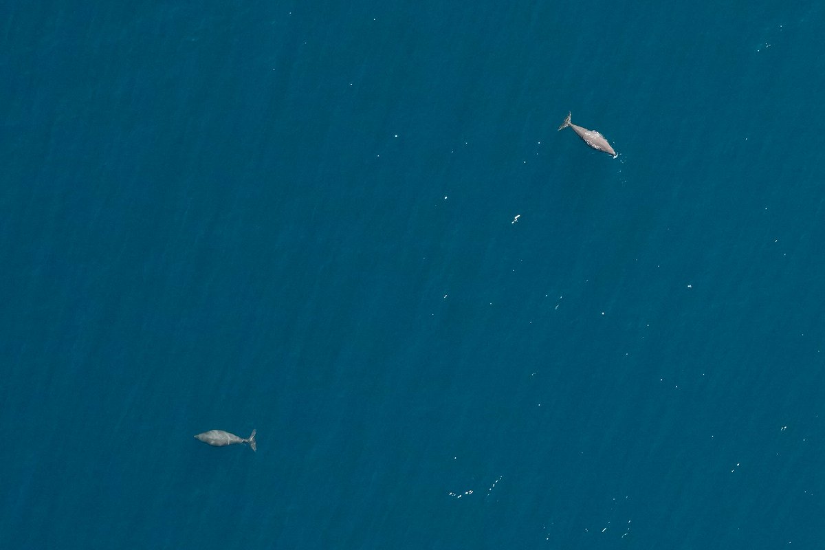
The new open-source app WISDAM (Wildlife Imagery Survey – Detection and Mapping) helps researchers & community groups to process images from aerial surveys
The app was developed by researchers from @EdithCowanUni, @jcu TropWATER, @QUT, and @AusAntarctic
wisdamapp.org

English